Glacial Changes and Landscape Evolution

HydroGeoSphere modelling to support mine operations and closure planning.

Exploring Long-Term Water Cycle Evolution with HydroGeoSphere
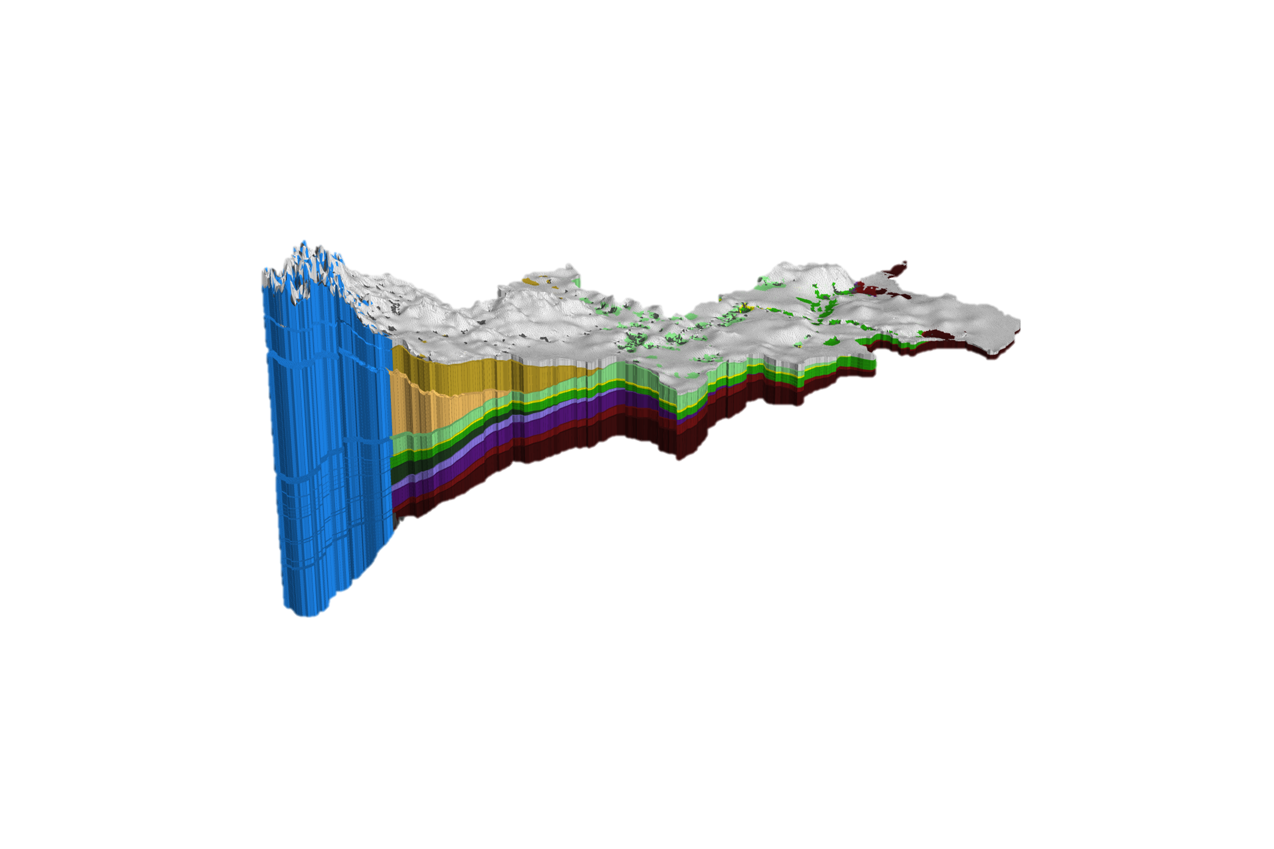
HydroGeoSphere, linked to geological evolutionary models such as a glaciation/deglaciation model, geomorphological model, and so on, can be used to analyze the long-term evolution of water cycle in up to a continental scale.

Impact of Glacial Activity on North American Landscape and Water Systems
An example shows that glacial activity in the North American Continent in the last 120 kyears has significantly influenced and is still influencing the topography and the water cycle at certain regions of the North America. It also illustrates that the evolution of permafrost is extremely important for subsurface water systems.
Let our experts guide you through our cutting-edge technology and demonstrate how our services can address your specific needs.
Schedule Your Demo of HGS