Build cutting-edge hydrologic models
Using the world’s most powerful integrated hydrologic modelling platform for coupled groundwater and surface water simulations.

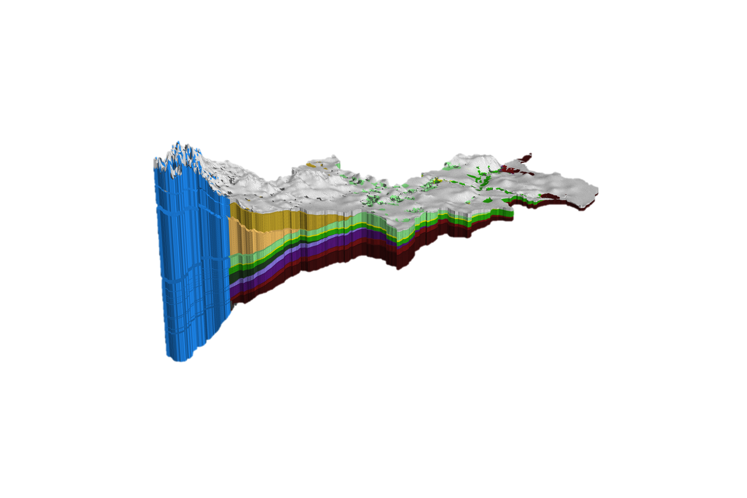
HydroGeoSphere (HGS)
A hydrologic simulation engine for water resources engineers that integrates all key components of the terrestrial water cycle, seamlessly tracking the movement of water between surface water, soil water, and groundwater systems with a physics based numerical approach. As a fully physics-driven platform, HGS is the best modelling tool to evaluate the impact and risk associated with climate change for water resources.

Fully integrated & tightly-coupled surface-groundwater models
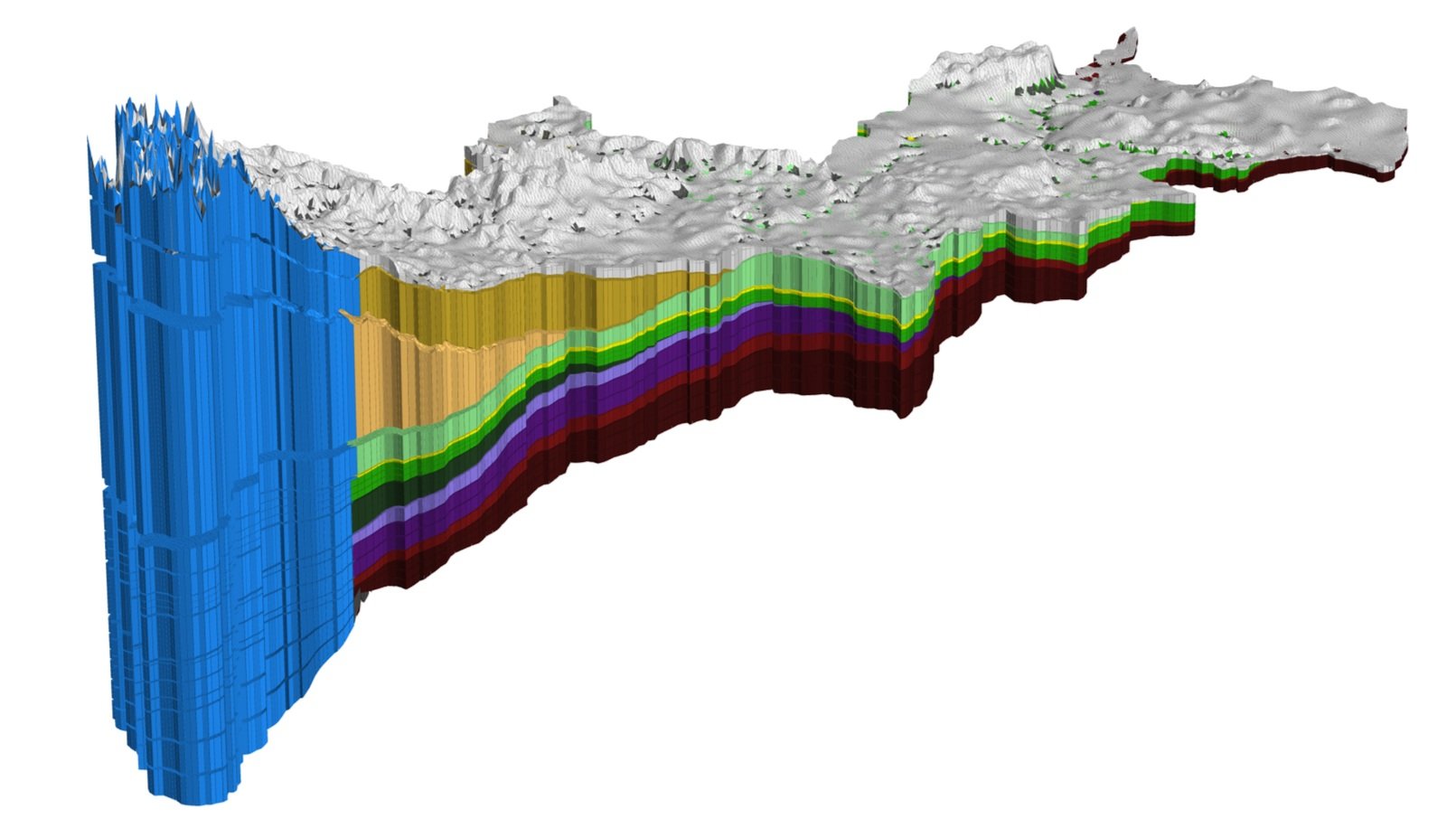
The HydroGeoSphere (HGS) platform integrates various aspects of the hydrological cycle, and can simulate processes like evaporation, transpiration, and snowmelt. HGS uses a physics-based approach to simulate all terrestrial components of the hydrologic cycle.

Next-Generation Hydrologic Simulations with Solute Transport
In addition to 3-dimensional variably saturated groundwater flow, HGS supports a wide range of interoperable capabilities including flow through discrete fracture networks and support for 1-dimensional hydraulic infrastructure, time-varying material properties & pore-water freeze/thaw, reactive solute transport, density dependent flow, thermal energy transport, particle tracing and much more.
In the evolving landscape of water resources engineering an integrated approach to hydrologic modelling using HydroGeoSphere has emerged as the way of the future!

Improved Understanding of Hydrologic Systems
Through explicit simulation of groundwater and surface water exchange, HydroGeoSphere provides insights into crucial processes like groundwater recharge, baseflow contributions to streamflow, and the impacts of groundwater withdrawals on surface water resources. Start making more informed decisions regarding water allocation, ecosystem management, and sustainable development practices.


Enhanced Decision Support
HGSRT - Aquanty’s DSS showing water depth & streamflow forecasts
HydroGeoSphere is the engine that powers a full suite of web-based decision support systems (DSS) to enhance water resources decision making & hydrologic forecasting for flood and drought management. Physics-based simulations are the best possible method for modelling hydrologic systems under a changing climate over short and long-term forecast timelines.

Climate Change Resilience

Hydro-Climatic Modelling of the Grand River Watershed
Build resilience to climate change impacts with HydroGeoSphere's adaptive modelling tools. Analyze the effects of changing climate patterns on water resources, infrastructure, and community resilience, while facilitating proactive adaptation measures.
Canada1Water - a collaboration between Aquanty and the Government of Canada - is a pioneering initiative dedicated to advancing water resource management amidst the climate crisis. Using revolutionary modelling techniques and cutting-edge technology designed by Aquanty Inc., Canada1Water assesses the impacts of climate change on Canadian water resources through comprehensive climate/land/hydrologic simulations.
HydroGeoSphere Key Capabilities
3D variably saturated groundwater flow
2D overland flow
2D variably saturated fracture flow
1D hydraulic features
Reactive solute transport
Density dependent flow
Time-varying properties
Winter processes
The HGS Process
01
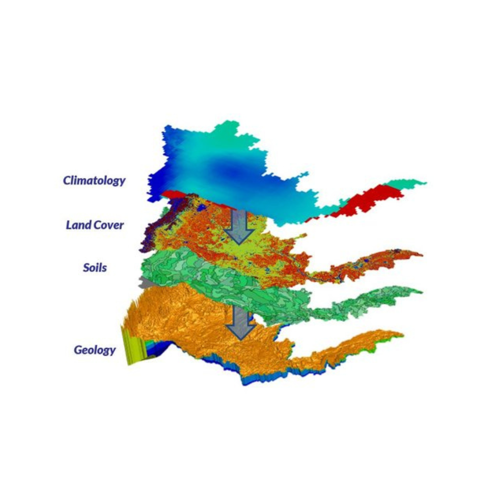
Develop a Conceptual Model
Establish the geographical area or watershed of interest where you'd like to simulate the water cycle and develop a conceptual model reflecting the actual physical characteristics of the system and the physical processes driving water flow in the region.
The HGS Advantage
A physics-based approach simplifies conceptualization of boundary conditions. A key design principle for integrated modelling is to force the model what the precipitation and climatology, and then let the model tell you where the water goes.

02
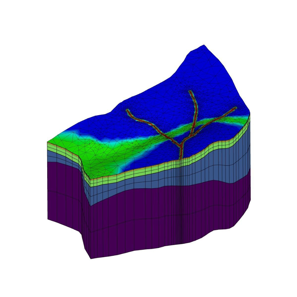
Create a 3D Mesh
Construct a detailed digital representation of the terrain, subsurface geology and relevant hydraulic infrastructure, ensuring that the mesh conforms to areas/features of interest.
The HGS Advantage
Watershed scale modelling simplifies the conceptualization of boundary conditions; build an accurate mesh with detailed topography & bathymetry and watch as HGS accurately models the distribution of lakes, streams & rivers.
03
Parameterize Your Model
Integrate various data sources such as soil surveys, land use data, crop information and hydraulic properties to define HGS's system of tightly-coupled governing equations.
The HGS Advantage
With support for a wide range of time-varying material parameters you can easily accommodate processes like pore-water freeze thaw, crop growth and river ice.

04
Calibrate Against Historical Data
Compare simulated hydrology against observation data and adjust model parameters to ensure that model outputs can accurately recreate historical conditions.
The HGS Advantage
As a fully-integrated model HGS supports multi-variate calibration using all available observation data including groundwater levels, stream flow, soil moisture & evapotranspiration rates, ensuring that the model accurately recreates hydrology in all domains.

05
Perform Scenario Analysis
You are now ready to apply the model to water resources challenges, whether it be climate change impact analyses, testing the impact of engineered designs & watershed management practices on local hydrology, or evaluating the consequences of potential contaminant releases to the environment.
The HGS Advantage
A physics-based approach to hydrologic modelling minimizes the uncertainty associated with traditional/empirical modelling techniques and is known to produce more accurate simulations even in regions with very little/sparse observational & borehole data.
Contact our Team to Schedule a Demo or Start a Software Trial
Applications
-
![A landscape showing a dried, cracked lakebed with a mountain range in the background, overlaid with a warning icon of the Earth with a thermometer indicating high temperatures.]()
Climate Change Impact Analysis
-
![A digital topographic map with green landmasses, blue river channels, and yellow-brown terrain outlines, overlaid with a white gear icon containing a water droplet and a hand.]()
Water Resources Engineering and Consulting
-
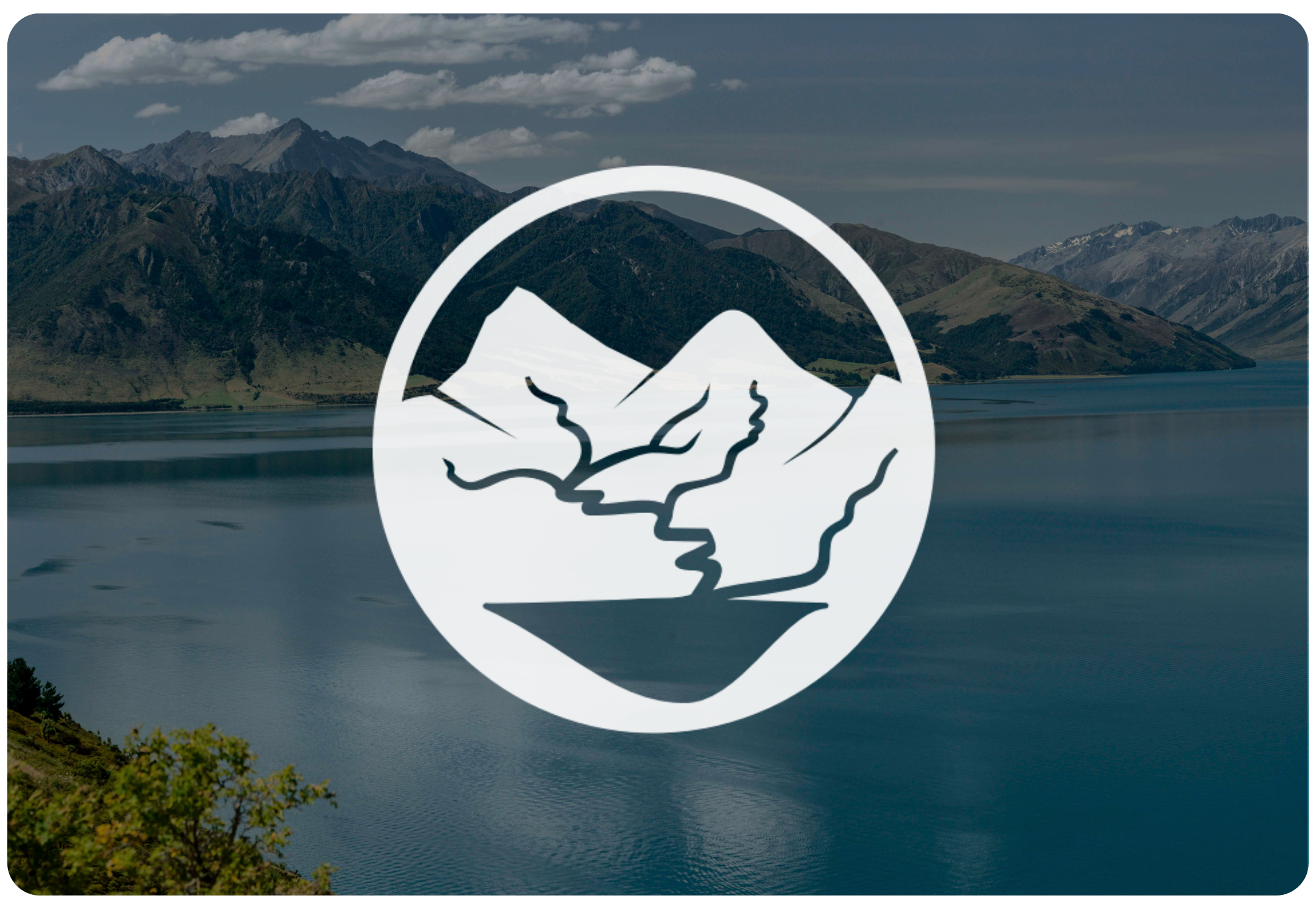
![Scenic mountain landscape with snow-capped peaks reflecting in a calm lake, under a clear blue sky.]()
Watershed Management and Decision Support
-
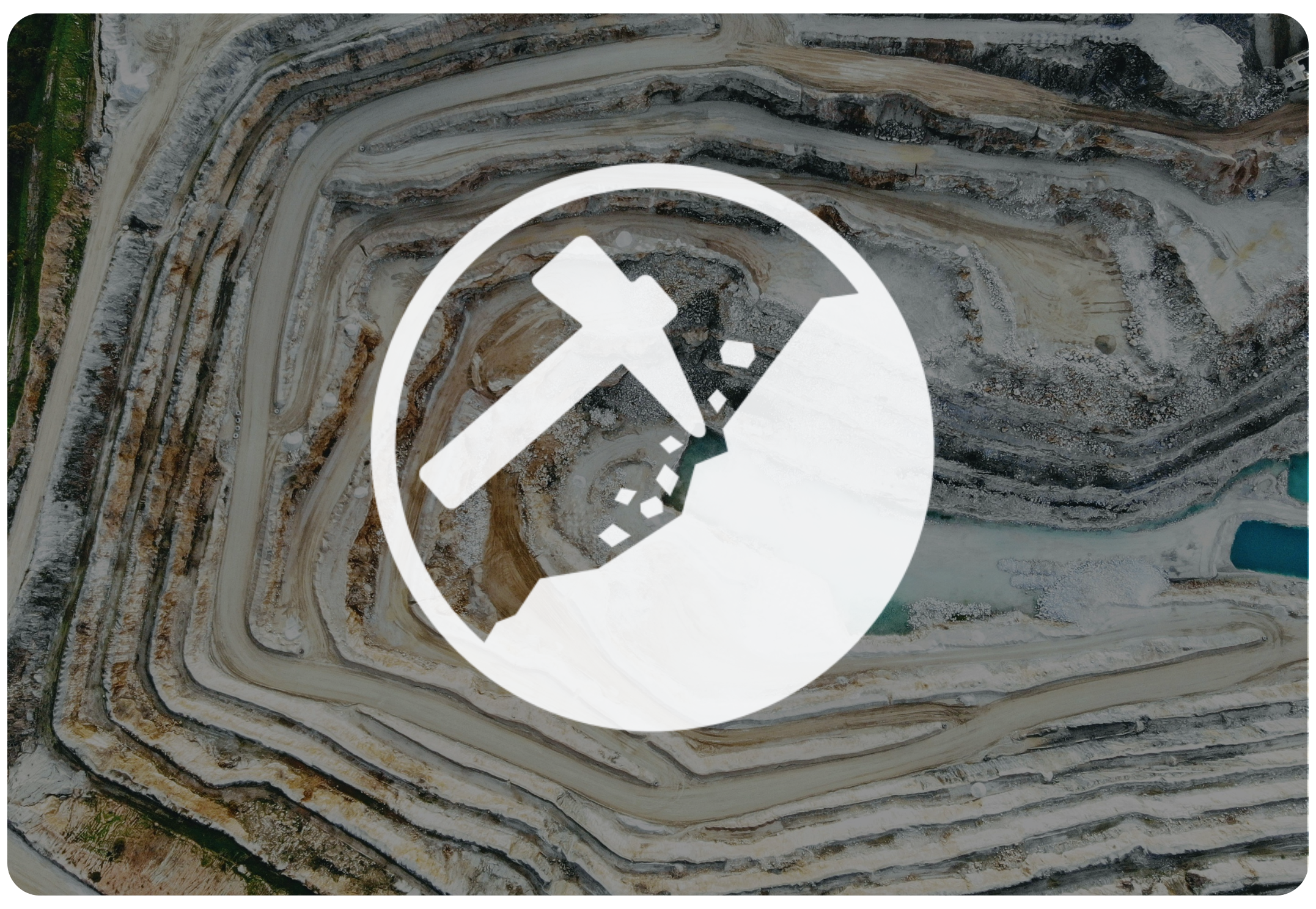
![Open-pit mining quarry with terraced layers of earth and rocks, clear blue sky above.]()
Mine Operations and Closure Planning
-
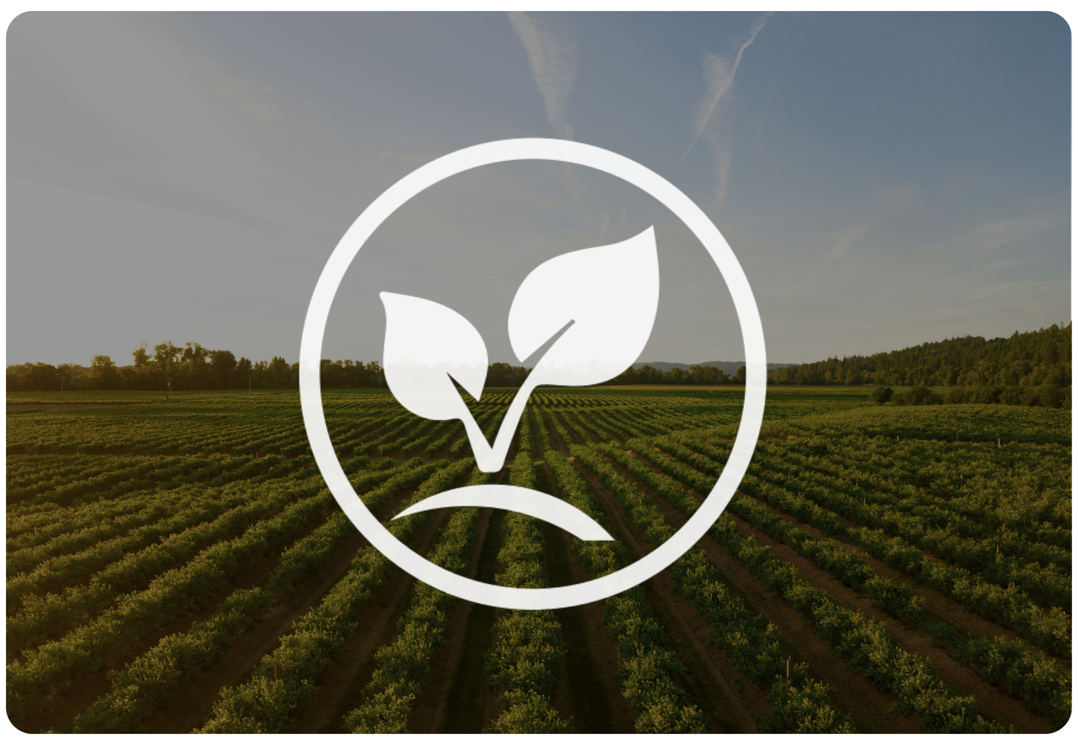
![Person in a red and black plaid shirt using a tablet in a wheat field, with a white leaf and checkmark eco-friendly logo overlay]()
Agriculture & Forestry
-
![A cooling tower emitting steam at dusk with a large radiation warning symbol overlaid.]()
Nuclear Waste Management
-
![A digital illustration featuring a cloud, a shield with a checkmark, and a network of connections, symbolizing cloud security and protection.]()
Flood and Drought Risk Management, Insurance
-
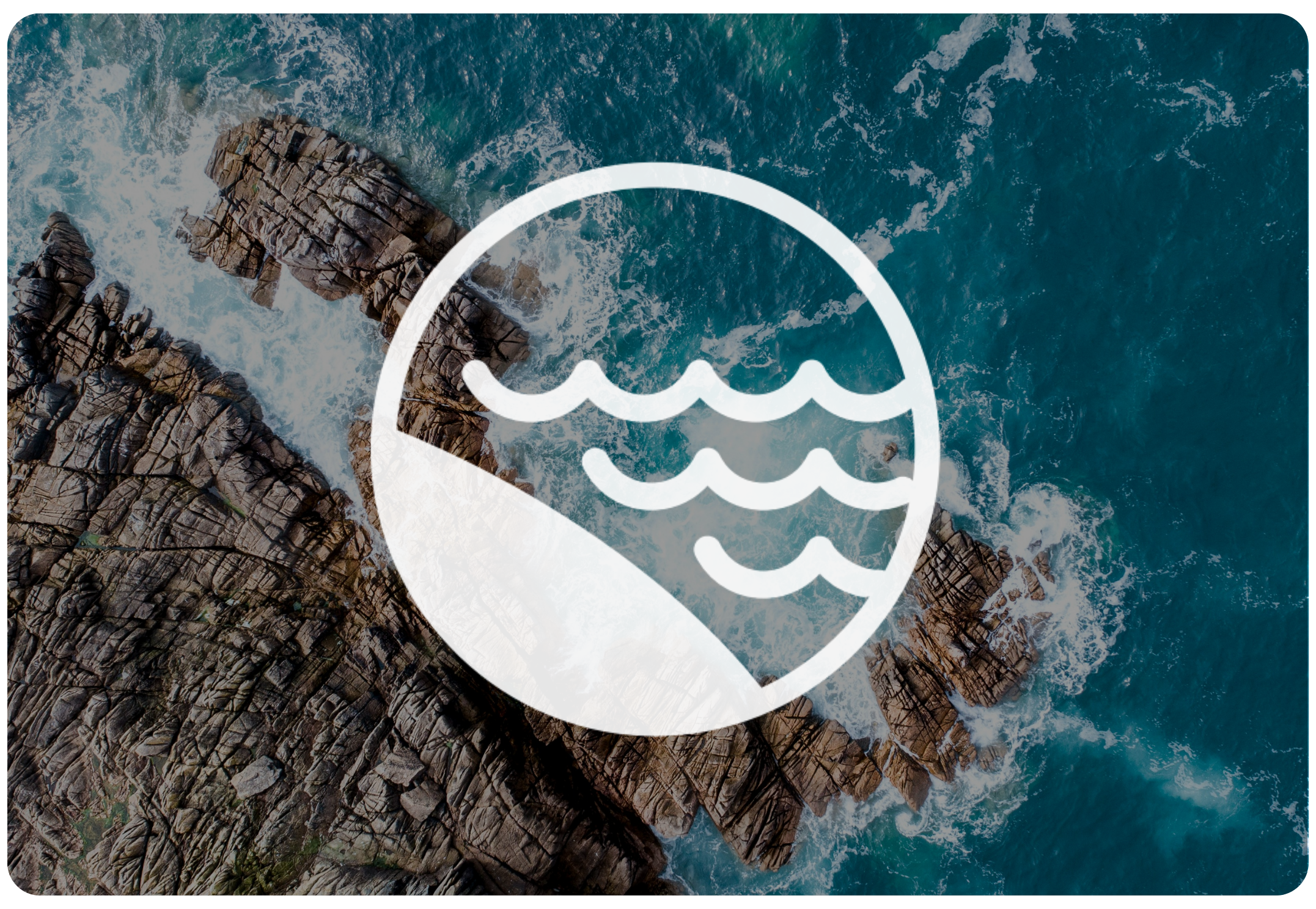
![An aerial view of a coastal landscape with sandy beaches, grassy patches, and blue ocean waves, with a white overlay icon of a wave inside a circle.]()
Coastal Hydrology, Thermal Energy Transport and Density-Dependent Flow Applications