

Integrated Hydrologic Simulations for Insurance Agencies
Aquanty operates simulation technology and real-time and on-demand hydrologic forecasting platforms to equip insurance agencies with a more robust understanding of water-related risks, enabling them to make better-informed decisions, manage risks effectively and offer more tailored insurance products to customers.
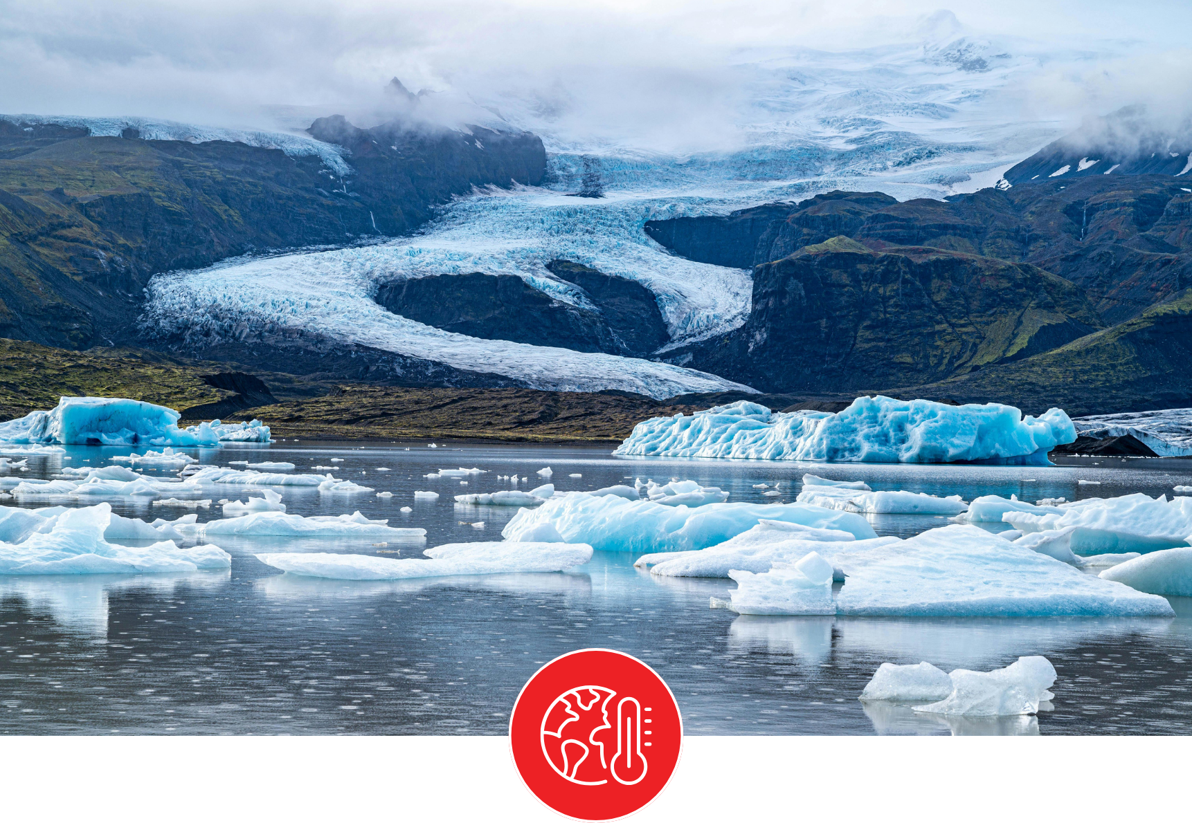
From large-scale hydrologic analyses in support of national/provincial/watershed level flood and drought risk analysis, to localized real-time hydrologic forecasts to bolster flood warning capacity, Aquanty’s simulation technology represents a valuable tool for the insurance/reinsurance industries to reduce exposure and losses to hydrologic catastrophes. Aquanty can provide valuable insights on sustainable water resources, drought and flood risk, and impacts of climate change to a particular area of interest.
Benefits
Comprehensive Risk Assessment
Accurate predictions of water-related risks
Develop adaptation and resilience strategies
Reduce Uncertainty
Educate clients about potential risks
Gain insights into long-term trends and potential changes in hydrological patterns due to factors such as climate change for improved decision-making. Make informed decisions regarding policy, coverage limits, and premium adjustments to adapt to evolving risks.
Offer more accurate predictions of water related risks, by integrating hydrologic simulations with real-time weather forecasts. This information can be used to evaluate the likelihood and severity of potential losses, enabling better risk management and pricing of insurance policies.

Through custom, state-of-the-art models, identify vulnerable areas and develop adaptation and resilience strategies for high value assets. This might include encouraging policyholders to adopt specific mitigation measures or investing in infrastructure improvements to minimize risks and potential losses.
Achieve regulatory compliance. In some regions, regulators may require insurers to consider comprehensive risk assessment methodologies. Comply with these regulations by demonstrating a thorough analysis of potential water-related risks.
Educate clients about potential risks using data-driven insights from HGS generated models and forecast predictions. This engagement not only helps customers understand their risks better but also encourages them to take proactive measures to mitigate these risks, reducing the likelihood and magnitude of claims.

By incorporating a wide range of data into a variety of modelling technologies and utilizing forecasting capabilities, you can reduce uncertainty related to flood and drought risks. Provide more reliable risk assessments and enhance the ability to manage financial exposure.
Featured Projects
Aquanty operates simulation technology and real-time and on-demand hydrologic forecasting platforms to equip insurance agencies with a more robust understanding of water-related risks enabling them to make better-informed decisions, manage risks effectively and offer more tailored insurance products to customers. Gain insights on sustainable water resources, drought and flood risk, and impacts of climate change on a particular area of interest.
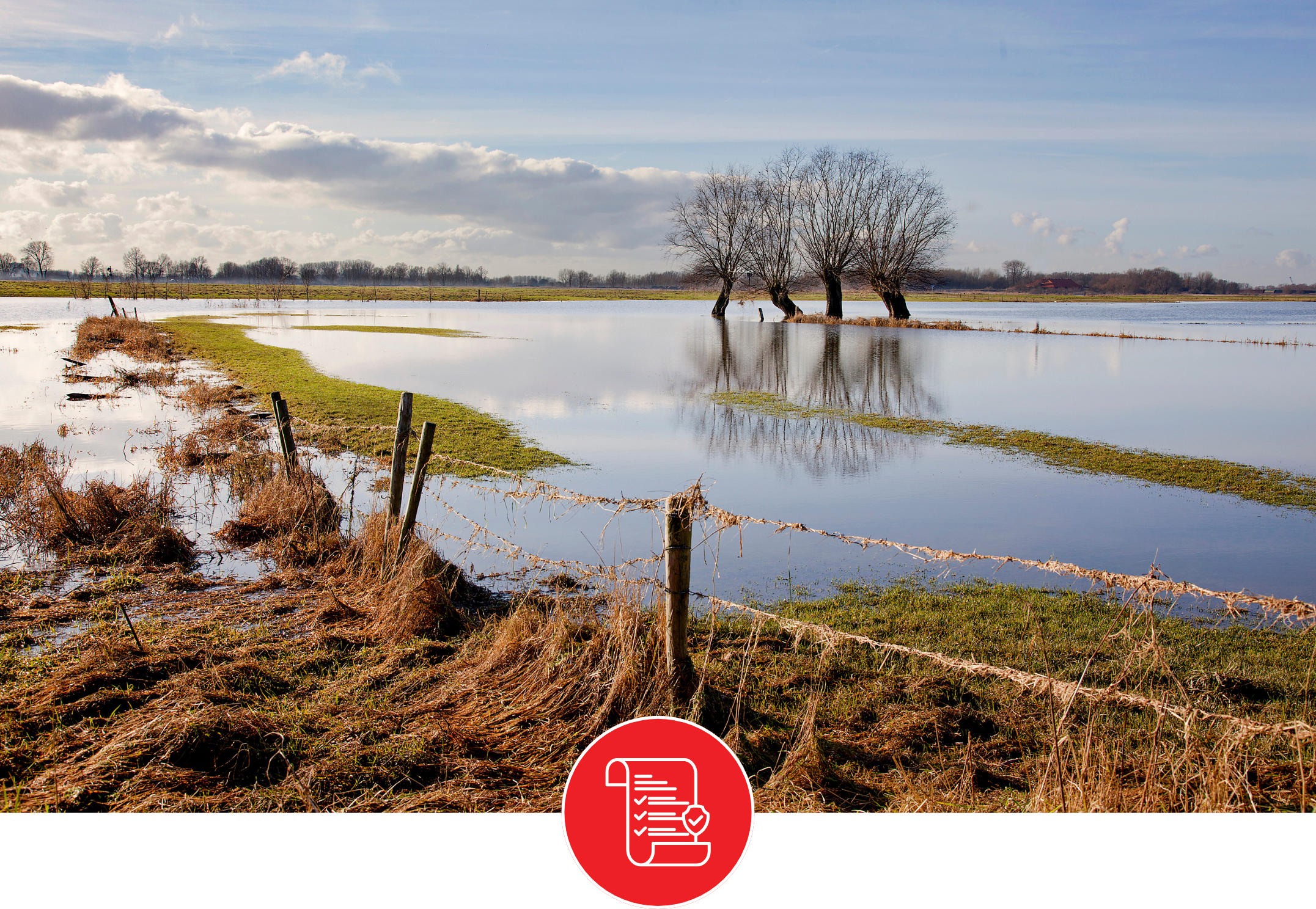
Simulating flood risk with high-resolution hydrologic models:
Recreation of 2013 Southern Alberta flooding. Simulation results depict a flood pulse derived from basin scale hydrologic simulations being routed across a local scale model of the City of Medicine Hat. LiDAR topography was used for the Medicine Hat model, and results show excellent agreement between simulated and observed high water marks.


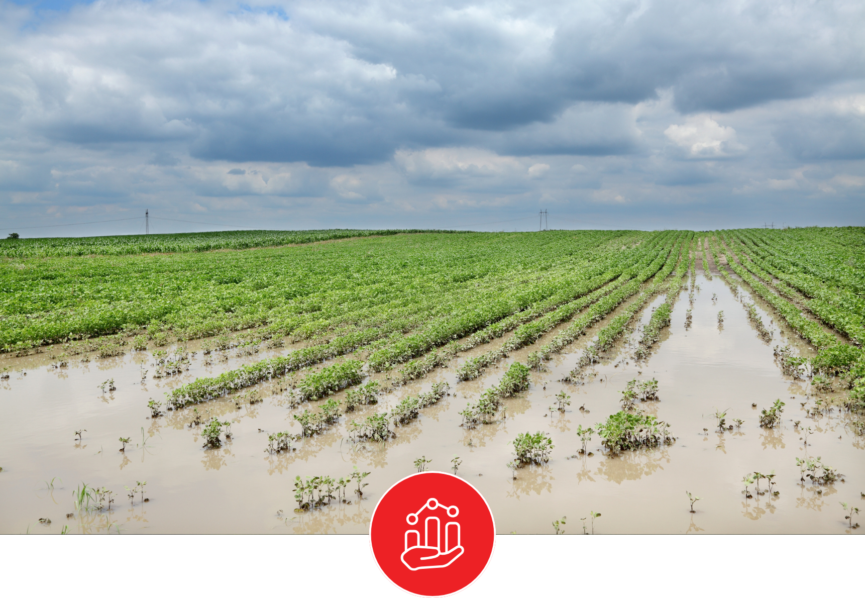
How a High-Tech Water Model is Future-Proofing Manitoba’s Farms, Soils and Grasslands.
Aquanty’s real-time hydrologic forecasting platform, developed with the Manitoba Forage and Grassland Association, supports farmers across the Assiniboine River Basin with timely water management insights. By improving planning around drought and moisture conditions, the system strengthens agricultural resilience. For the crop reinsurance industry, it offers valuable data to enhance risk assessment and support more accurate, proactive decision-making.


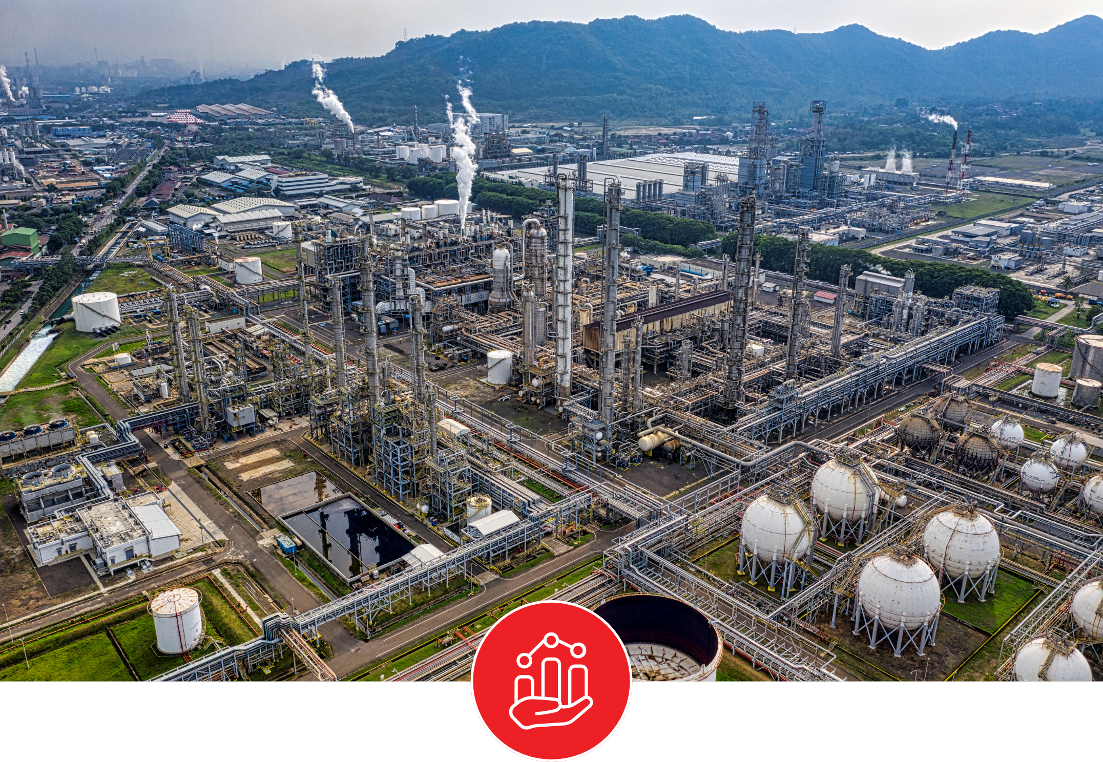
The science of seeing into the future: Canada’s groundwater, in Simply Science by Natural Resources Canada:
With scientists predicting major water shortages in less than 10 years, we need to make smart choices today about how to use and protect our water resources. The Canada1Water project aims to help. Co-led by Natural Resources Canada’s Groundwater Geoscience Program and Aquanty Inc., it will give Canadians powerful new tools to understand the country’s water future.
-
![A landscape showing a dried, cracked lakebed with a mountain range in the background, overlaid with a warning icon of the Earth with a thermometer indicating high temperatures.]()
Climate Change Impact Analysis
-
![A digital topographic map with green landmasses, blue river channels, and yellow-brown terrain outlines, overlaid with a white gear icon containing a water droplet and a hand.]()
Water Resources Engineering and Consulting
-
![Scenic mountain landscape with snow-capped peaks reflecting in a calm lake, under a clear blue sky.]()
Watershed Management and Decision Support
-
![Open-pit mining quarry with terraced layers of earth and rocks, clear blue sky above.]()
Mine Operations and Closure Planning
-
![Person in a red and black plaid shirt using a tablet in a wheat field, with a white leaf and checkmark eco-friendly logo overlay]()
Agriculture & Forestry
-
![A cooling tower emitting steam at dusk with a large radiation warning symbol overlaid.]()
Nuclear Waste Management
-
![A digital illustration featuring a cloud, a shield with a checkmark, and a network of connections, symbolizing cloud security and protection.]()
Flood and Drought Risk Management, Insurance
-
![An aerial view of a coastal landscape with sandy beaches, grassy patches, and blue ocean waves, with a white overlay icon of a wave inside a circle.]()
Coastal Hydrology, Thermal Energy Transport and Density-Dependent Flow Applications


Connect with Aquanty
Let our experts guide you through our cutting-edge technology and demonstrate how our services can address your specific needs.