
IMWA 2026 Conference
Join Us at the International Mine Water Association (IMWA) Congress!
We’re excited to share that Aquanty will be taking part in the International Mine Water Association Congress (IMWA Congress), one of the world's leading events dedicated to mine water research, management, and innovation.
CWRA 2026 National Conference
Join Us at the 2026 CWRA National Conference!
We’re excited to share that Aquanty will be taking part in the 79th Annual National CWRA Conference — a leading national event dedicated to advancing water science, policy, and management across Canada. This year’s conference will bring together water professionals from government, academia, Indigenous organizations, conservation authorities, and the private sector to explore innovative approaches to integrated water resource management and address emerging challenges facing Canada’s water systems.
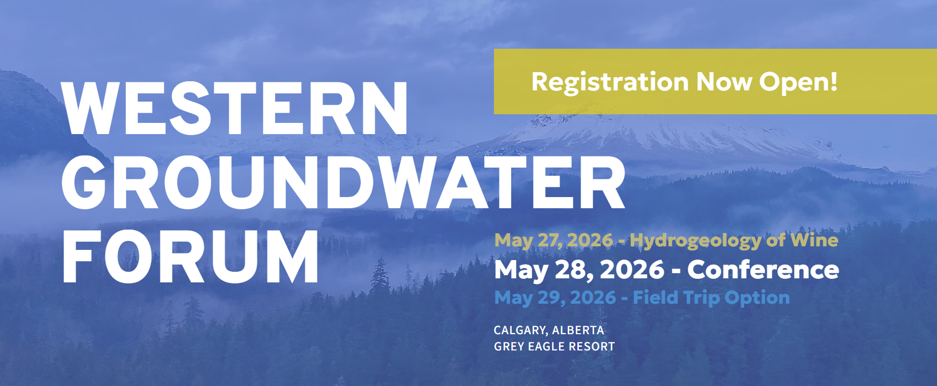
Western Groundwater Forum
Join Us at the Western Groundwater Forum!
We’re excited to share that Aquanty will be taking part in the 2026 Western Groundwater Forum — an event dedicated to bringing the groundwater community together to share knowledge, strengthen collaboration, and advance groundwater science and management. At this year’s forum, Mike Callaghan, Senior Applications Engineer at Aquanty, will present: Flee From Parsimony: Escaping the Boundary Condition Paradox in Groundwater Modelling.
Joint CGU and IAH-CNC Annual Meeting 2026
Join us for the Joint CGU and IAH-CNC Annual Meeting 2026, themed Advancing Knowledge in Earth and Environmental Science, hosted at Dalhousie University in Halifax, Nova Scotia, from May 24–27, 2026.
This joint meeting brings together geoscientists, hydrogeologists, engineers, and researchers from across Canada and around the world to share research, foster collaboration, and strengthen connections across the geosciences and hydrogeology communities.
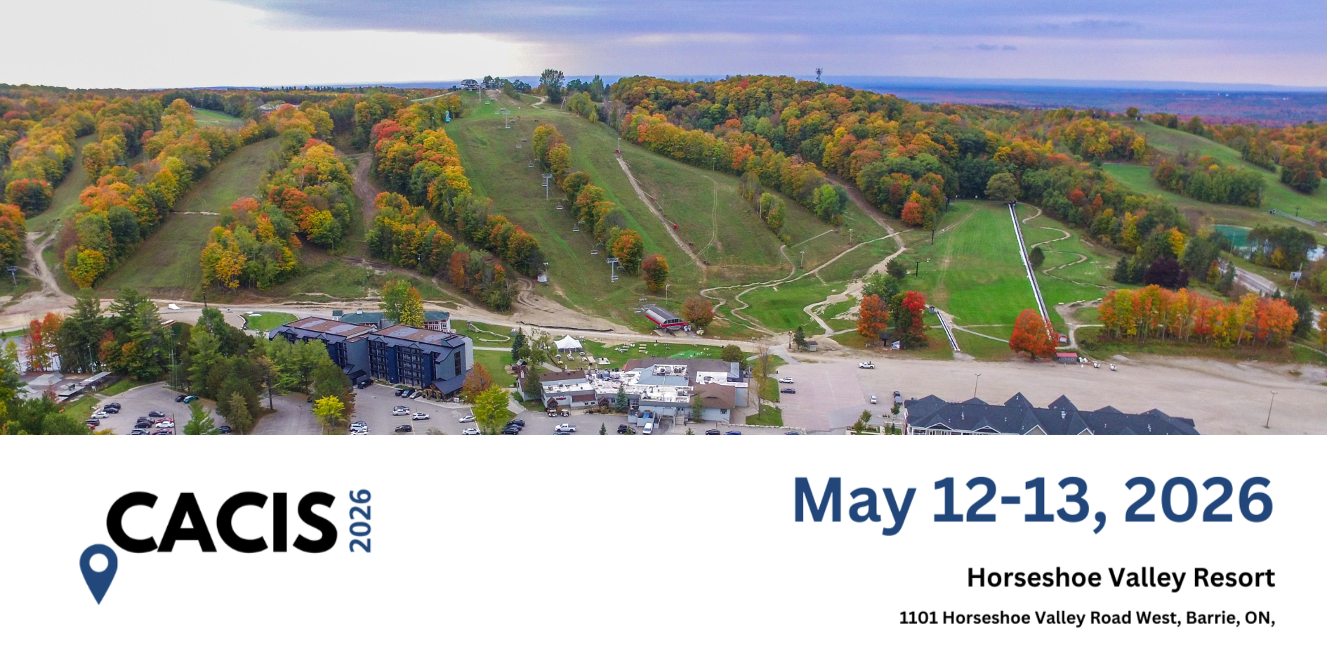
CACIS 2026
Join Us at CACIS 2026!
We’re excited to share that Aquanty will be taking part in the Conservation Authority Collaborative Information Sessions (CACIS) 2026— a cornerstone annual event dedicated to advancing GIS, IT, and information management across Ontario’s conservation authority community.

2026 Power of Water Canada Technical Conference and Trade Show
Join Us at the 2026 Power of Water Canada Technical Conference and Trade Show!
We’re excited to share that Aquanty will be taking part in the 2026 Power of Water Canada (POWC) Technical Conference and Trade Show—the largest gathering of the hydroelectric industry in the country!
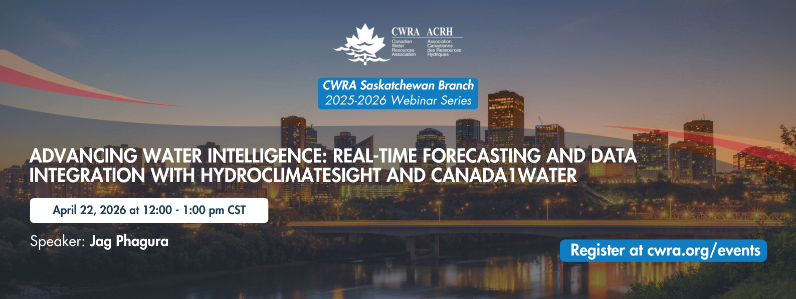
SK Branch Webinar: Advancing Water Intelligence: Real-Time Forecasting and Data Integration with HydroClimateSight and Canada1Water
Join Us for the CWRA Saskatchewan Branch Webinar: Advancing Water Intelligence with HydroClimateSight and Canada1Water
We’re excited to share that Aquanty will be presenting at the upcoming Canadian Water Resources Association (CWRA) Saskatchewan Branch Webinar, focused on advancing real-time hydrological forecasting and national-scale data integration.
2026 Ontario Groundwater Geoscience Open House
Join us for the 2026 Ontario Groundwater Geoscience Open House, presented by the Ontario Geological Survey (OGS), Geological Survey of Canada (GSC), and Conservation Ontario Geoscientists. This annual technical conference highlights current groundwater research and projects happening across Ontario.

CWRA Alberta – IAH CNC Conference
Join us at the CWRA-Alberta and IAH-CNC Mixing Zone & Meeting Minds Conference on Nov. 12-14, 2025 - Edmonton, Alberta!
This joint event brings together experts, researchers, and practitioners from groundwater and surface water disciplines to foster collaboration and share cutting-edge insights into integrated water resource management.

2025 Latornell Conservation Symposium
Discover Innovations in Stormwater and Forecasting at the 2025 Latornell Conservation Symposium!
Join us at the 2025 Latornell Conservation Symposium for Day 2 – Session 7B: Engineering Resilience – Innovations in Stormwater and Forecasting, where Aquanty’s Dr. Andre Erler, Senior Climate Scientist, will present: HydroSphereAI: Machine Learning-Driven Hydrological Forecasting in a Changing Climate
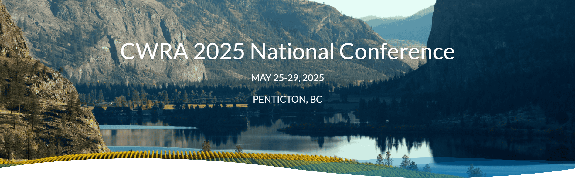
CWRA 2025 National Conference

Join Us at the CWRA 2025 National Conference in Penticton, BC!
Mark your calendars for the CWRA 2025 National Conference, taking place May 25-29, 2025, in Penticton, BC—on the traditional territories of the Okanagan (Syilx) People in the Okanagan Watershed.
With the theme “Living Between Waters – Connecting Water & Resilience,” this year’s conference will focus on collaboration, Indigenous rights, and the role of municipalities, governments, and industry in advancing water resilience.
The event will feature technical sessions, workshops, and panel discussions highlighting practical solutions for shared water management across jurisdictions and watersheds. Attendees will explore strategies for building partnerships, Indigenous-led stewardship, and ensuring a sustainable water future.
DATE: May 25 - 29, 2025
LOCATION: Penticton, BC
Visit the conference website by clicking the links below, and discover the full speaker list, and registration details.
FOR MORE INFORMATION:
Click here to learn more about the event and stay updated on program details.
HydroGeoSphere Short Course: Introduction to Fully-Integrated Hydrologic Modelling

SCW-B3 - HydroGeoSphere Short Course: Introduction to Fully-Integrated Hydrologic Modelling
Organizer: Brayden McNeill
Contact: bmcneill@aquanty.com
Join the Aquanty team for a two-day intensive course which explores the complete integrated hydrologic modelling process using HydroGeoSphere (HGS). This course consists of various lectures and exercises to explore topics such as: (i) the benefits of integrated hydrologic modelling; (ii) the governing equations that control flow in an HGS model; (iii) use of supporting software for model mesh generation and results visualization; (iv) model parameterization and conceptualization of boundary conditions; (v) numerical solution techniques and recommended settings optimal convergence and improved runtimes; and (vi) model convergence troubleshooting, model calibration and more. Participants will receive a temporary license of HydroGeoSphere (30-day), a temporary license of AlgoMesh (2-week), a copy of all course content including lectures (PDF) and exercises, and the opportunity to network with other HydroGeoSphere users and the software development team.
DATE: May 15-16 2025
LOCATION: Hybrid, virtual and in-person event. In-person location: University of Ottawa, 75 Laurier Avenue East, Ottawa, ON, Canada, K1N 6N6
The conference provides an opportunity for watershed district staff and board members to engage with industry professionals, decision makers, businesses, and each other. It provides a place for celebrating successes, community building, staying connected to new and emerging practices, education, and advocacy for the protection of our water resources.
Visit the conference website by clicking the links below, and discover the full speaker list, and registration details.
FOR MORE INFORMATION:
Visit GAC-MAC-IAH-CNC 2025 to learn more about the event and stay updated on program details.
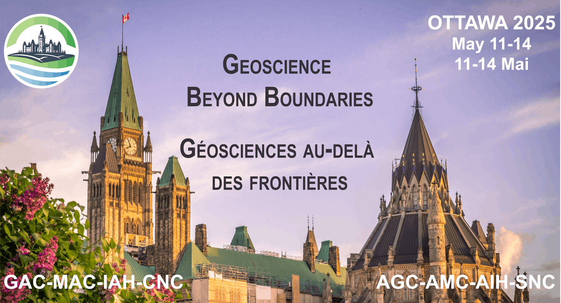
GAC-MAC-IAH-CNC 2025 Conference
Discover Groundbreaking Research at GAC-MAC-IAH-CNC 2025 in Ottawa!
Join us at GAC-MAC-IAH-CNC 2025, hosted at the University of Ottawa, Ontario, from May 11-14, 2025. This premier event will feature a dynamic scientific program including field trips, workshops, short courses, and technical sessions, providing valuable insights into geology, mineralogy, and hydrology.
The Water section will include a number of exciting sessions, with Steve Berg and Steve Frey from Aquanty co-chairing select sessions. Aquanty will also deliver a short course, offering practical expertise and insights into advanced water resource modeling.
ABSTRACTS
Special Session 7
Title: Surface water-groundwater interactions through recharge, discharge, and contribution to ecosystems
Chairs: Emmanuel Dubois; Marie Larocque; Eric Rosa; Steven Berg; Steven Frey
From the infiltration of water at the soil surface to groundwater discharge zones, groundwater resources sustain various anthropic uses and groundwaterdependent ecosystems. Understanding the complexities of surface water and groundwater interactions, especially through groundwater recharge and discharge is crucial for linking groundwater dynamics to these uses. However, global change – through climate shifts, altered precipitation patterns, warming temperatures, and increased land-use pressures – threatens the current balance and impacts human uses and groundwater-dependent ecosystems. Alternatively, Nature-based solutions are increasingly implemented to mitigate the impacts of global change on water resources by leveraging specific ecosystem services. Consequently, a better understanding of the processes involved in the surface water-ecosystem-groundwater feedback loops is urgently needed. This session explores methodological developments and the characterization of processes linked to groundwater recharge, groundwater flow and groundwater discharge, as well as interactions with ecosystems. This session seeks contributions presenting advancements in monitoring, field-based investigations, data-driven analysis, and simulation methods from simple conceptual models to fully integrated numerical models that enhance our ability to track these processes and predict groundwater availability, surface water-groundwater interactions, and ecosystem responses under changing conditions. Contributions on the design, implementation, and performance assessment of Nature-based solutions are also of interest, as they appear to be valuable solutions to mitigate changes in the connections between groundwater and surface water reservoirs and to increase the resilience of groundwater-dependent ecosystems.
Special Session 14
Title: Public groundwater science and policy in Canada: Challenges of jurisdiction, funding and science capacity.
Chairs: Hazen Russell; Christine Rivard; Marie Larocque; Boyan Brodaric; Eric Boisvert
Although groundwater is the source of supply for around 30% of Canadians, and often feeds watercourses, surface water has historically been the focus of most research and studies. Following the creation of Environment Canada (EC) in 1971, freshwater science was seemingly concentrated within the newly funded agency. Environment Canada became responsible for all aspects of groundwater quality, which is intimately linked to water supply. Nevertheless, water has continued to be of concern within 22 federal departments, reflecting its universal importance to Canadian society. Governance of water is vested principally with provinces with the federal government having responsibility in certain circumstances and settings. In response to concerns documented in the 1993 Canadian Geoscience Report, the GSC renewed activity with groundwater aquifer mapping studies and undertook the first regional hydrogeological characterization project in Canada. Since then, the GSC and other branches of NRCan, along with provincial and academic collaborators have been involved in local watershed to regional scale and national groundwater studies. Notable federal influences during this 30-year period on the role and scope of studies was the Framework for Collaboration on Groundwater (2003) and the Senate report Water in the West Under Pressure (2005). Provincially, important programs such as Source Protection in Ontario, PACES (Projets d’acquisition de connaissances sur les eaux souterraines) in Quebec, and Waters for Life in Alberta have invigorated and revolutionised groundwater studies in their respective provinces. This session affords an occasion to review 30 plus years of activity, successes and failures, and consider future roles and opportunities. It also is an opportunity to review and question the necessary roles of provincial and federal government, academic, and NGOs in advancing groundwater knowledge, and data management and dissemination for sustainable water resource management. The session is topical as many of the current concerns and issues around the Canada Water Agency and groundwater resources in Canada and worldwide have emerged cyclically over the past 40 years and are more present today than ever before. The session will include invited keynote presentations from recognized experts
Special Session 16
Title: Harnessing large scale hydrologic models to assess future water security
Chairs: Melissa Bunn; Brian Smerdon; Steven Frey
Earth’s changing climate is nudging the hydrologic cycle in ways that society has not planned for. Predicting how rivers, lakes and groundwater are responding to climate change is necessary for sustainably managing water needs for food production, energy generation, and mineral resource extraction while also maintaining ecosystem function. To meaningfully represent the spatial and temporal variation in climate, hydrologic models typically encompass large watersheds and major drainage basins. At these scales, processes like the intrinsic link between groundwater and surface water is challenging to represent and often poorly resolved. This session will explore the development and application of large hydrologic models for climate change assessment, with a focus on regional scale integration of groundwater and surface water. Through the session, we seek perspectives on: (1) how groundwater is represented in regional scale hydrologic and water resource assessments, (2) the importance of groundwater for large scale water management in different physiographic settings, and (3) ongoing efforts to address conceptual model gaps in the application of regional scale models towards water management and security objectives.
Short Course
SCW-B3 - HydroGeoSphere Short Course: Introduction to Fully-Integrated Hydrologic Modelling
Organizer: Brayden McNeill
Contact: bmcneill@aquanty.com
Join the Aquanty team for a two-day intensive course which explores the complete integrated hydrologic modelling process using HydroGeoSphere (HGS). This course consists of various lectures and exercises to explore topics such as: (i) the benefits of integrated hydrologic modelling; (ii) the governing equations that control flow in an HGS model; (iii) use of supporting software for model mesh generation and results visualization; (iv) model parameterization and conceptualization of boundary conditions; (v) numerical solution techniques and recommended settings optimal convergence and improved runtimes; and (vi) model convergence troubleshooting, model calibration and more. Participants will receive a temporary license of HydroGeoSphere (30-day), a temporary license of AlgoMesh (2-week), a copy of all course content including lectures (PDF) and exercises, and the opportunity to network with other HydroGeoSphere users and the software development team.
DATE: May 11-14 2025
LOCATION: University of Ottawa, 75 Laurier Avenue East, Ottawa, ON, Canada, K1N 6N6
The conference provides an opportunity for watershed district staff and board members to engage with industry professionals, decision makers, businesses, and each other. It provides a place for celebrating successes, community building, staying connected to new and emerging practices, education, and advocacy for the protection of our water resources.
Visit the conference website by clicking the links below, and discover the full speaker list, and registration details.
FOR MORE INFORMATION:
Visit GAC-MAC-IAH-CNC 2025 to learn more about the event and stay updated on program details.
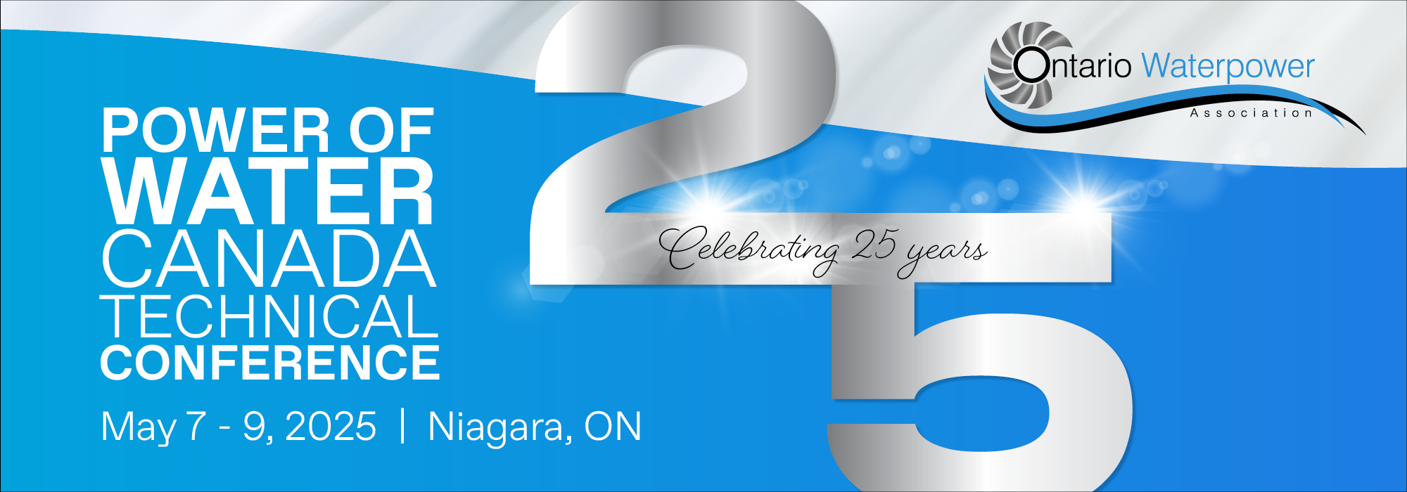
2025 Power of Water Canada Conference

Explore the Future of Waterpower at the 2025 Power of Water Canada Conference!
Join us as we celebrate the 25th anniversary of the Power of Water Canada Conference, the premier event dedicated to advancing sustainable waterpower development. Taking place on May 7 - 9th 2025, this milestone gathering will bring together industry leaders, researchers, and professionals from Canada, the U.S., and beyond to explore the latest innovations in water management and hydropower.
Aquanty is attending for the first time ever, and we’re quite excited to debut our new machine learning based hydrologic forecasting product (HydroSphereAI) for the hydro-electric community in Ontario.
This year’s conference will feature keynote speakers, panel discussions, and interactive workshops, highlighting cutting-edge solutions shaping the future of the water sector. Be part of this landmark event and connect with experts driving sustainable change in waterpower.
Don’t miss this opportunity to engage with the industry’s best and celebrate 25 years of innovation in waterpower!
DATE: May 7 - 9, 2025
LOCATION: Niagara Falls, Ontario
Visit the conference website by clicking the links below, and discover the full speaker list, and registration details.
FOR MORE INFORMATION:
Visit 2025 Power of Water Canada Conference to learn more about the event and stay updated on program details.

Conservation Authority Collaborative Information Sessions (CACIS) 2025

Discover Groundbreaking Research at CACIS 2025 in Burlington!
Steve Frey will be at Conservation Authority Collaborative Information Sessions (CACIS) 2025, from April 30 - May 1, 2025. This premier event brings together professionals in GIS, IT, and Information Management from various conservation authorities, alongside representatives from federal and provincial ministries, academic institutions, and private sector partners.
This year at CACIS, Steve Frey from Aquanty will be giving a presentation:
Title: The HydroClimateSight hydro-climatological prediction and analysis system for Ontario
ABSTRACT
HydroClimateSight is Aquanty's cutting-edge cloud-based computing system transforming hydrological forecasting. By integrating near-real-time field observations, remote sensing products, and meteorological predictions, this platform provides unparalleled accuracy and reliability in hydrological forecasts using both numerical physics-based and AI-based models. The challenges of operational implementation of a real-time forecasting service will be discussed, including real-time processing of numerical weather forecasts, availability of input data, and aspects of stakeholder engagement and gaining trust with the end-user. The audience will learn the steps involved to set up a real-time forecasting model for their region and integrate the predictions within their existing computer systems. We will also review the recent beta test of HydroSphereAI (our machine-learning based forecasting system) for Conservation Authorities across Ontario.
PRESENTATION TIME: Wed April 30th at 11:30am
DATE: April 30 - May 1, 2025
LOCATION: Holiday Inn, 3063 South Service Road, Burlington, ON, L7N 3E9, Canada
The conference is a cornerstone event for conservation authorities since their launch in May 2007. This annual conference brings together professionals in GIS, IT, and Information Management from various conservation authorities, alongside representatives from federal and provincial ministries, academic institutions, and private sector partners. Over the course of two days, attendees have the opportunity to showcase their critical work, exchange ideas, and strengthen collaborations across organizations.
Visit the conference website by clicking the links below, and discover the full speaker list, and registration details.
FOR MORE INFORMATION:
Visit Conservation Authority Collaborative Information Sessions (CACIS) 2025 to learn more about the event and stay updated on program details.
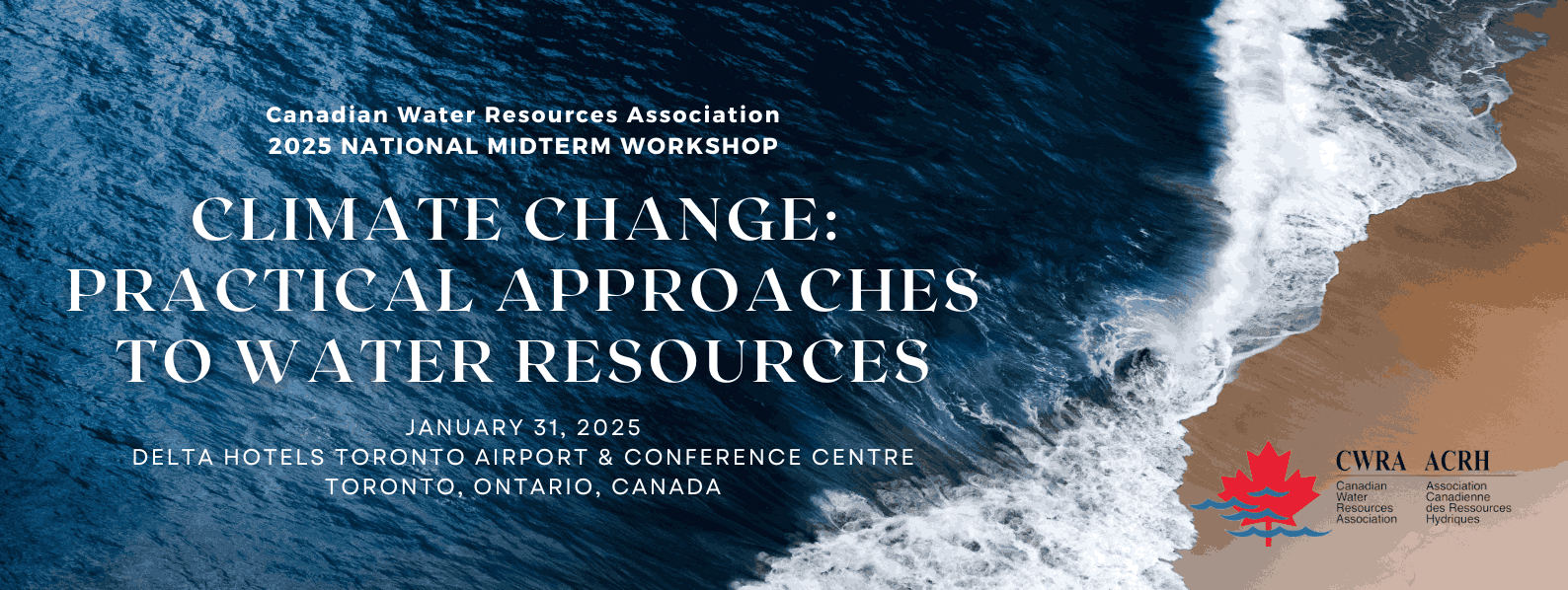
CWRA WORKSHOP ON CLIMATE CHANGE: PRACTICAL APPROACHES TO WATER RESOURCES

The CWRA Ontario Conference, themed Climate Change: Practical Approaches to Water Resources, will bring together professionals to explore innovative solutions and strategies for addressing the impacts of climate change on water resources.
DATE: Friday, January 31, 2025, 8:00 AM – 4:30 PM ET
LOCATION: Delta Hotels Toronto Airport & Conference Centre, Toronto, Ontario, Canada
Hosted by the CWRA Ontario Board, this event offers a dynamic program featuring presentations on cutting-edge research, case studies, and technical solutions to tackle climate extremes, enhance natural asset management, and develop adaptation and mitigation strategies.
Visit the conference website by clicking the links below, and discover the full speaker list, and registration details.
FOR MORE INFORMATION:
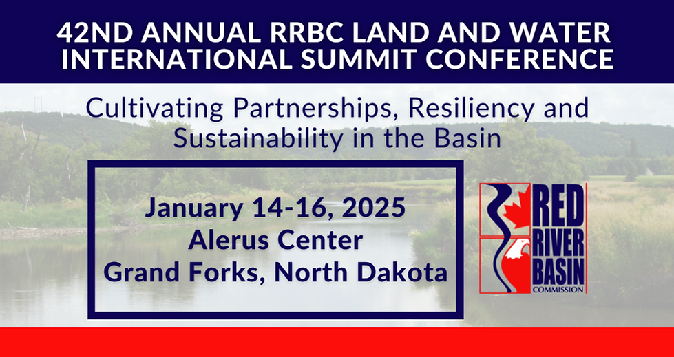
Red River Basin Watershed District Conference 2025

The 42nd annual Red River Basin Land and Water International Conference will be focusing on the innovations required to manage the unprecedented environmental changes facing our watersheds.
DATE: JANUARY 14-16, 2025
LOCATION: ALERUS CENTER, GRAND FORKS, NORTH DAKOTA
The conference provides an opportunity for watershed district staff and board members to engage with industry professionals, decision makers, businesses, and each other. It provides a place for celebrating successes, community building, staying connected to new and emerging practices, education, and advocacy for the protection of our water resources.
Visit the conference website by clicking the links below, and discover the full speaker list, and registration details.
FOR MORE INFORMATION:
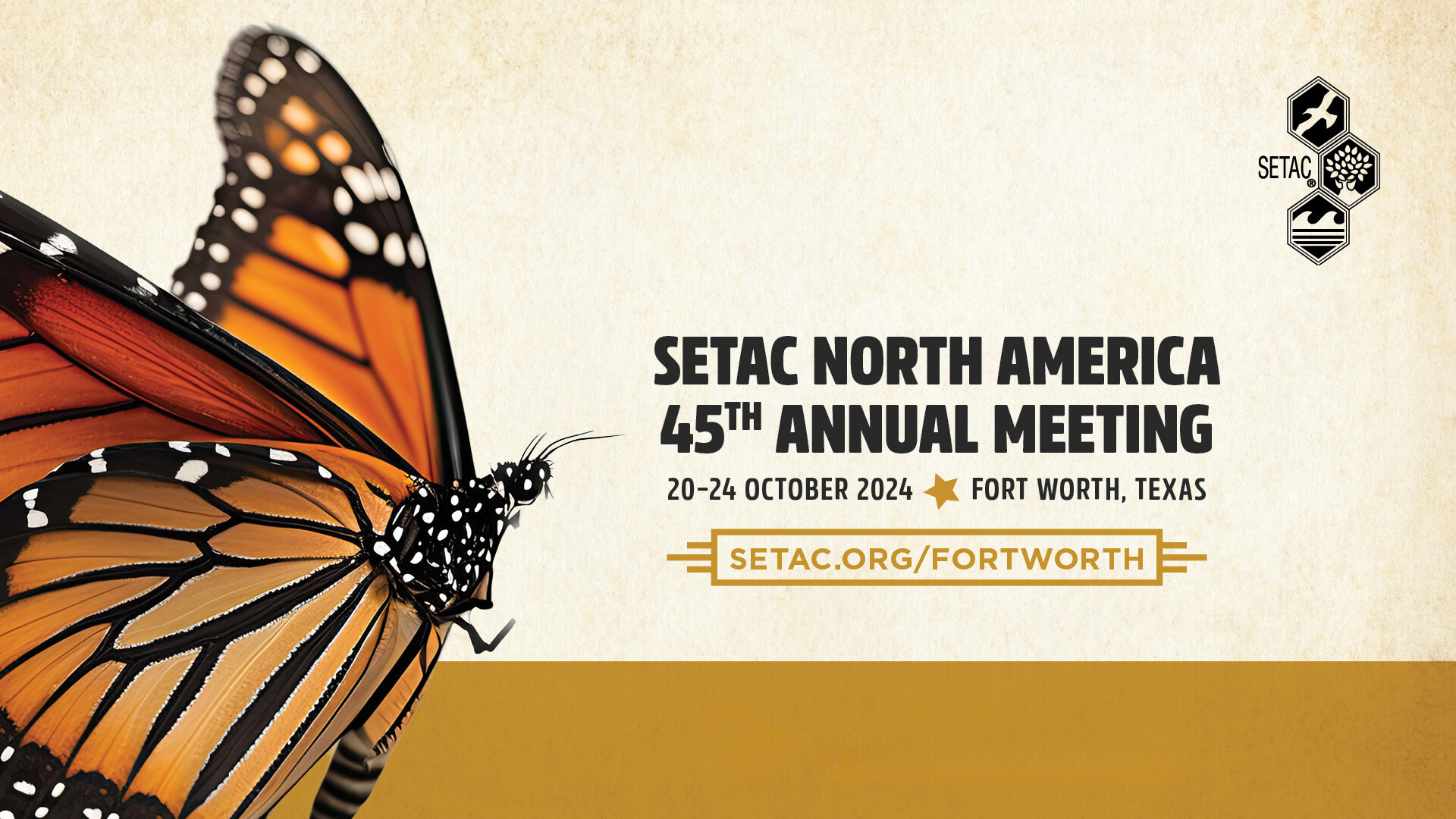
SETAC North America 45th Annual Meeting
SETAC is dedicated to advancing environmental science and science-informed decision-making through collaboration, communication, education and leadership. Mark your calendars for October 20-24, 2024, as Michael V. Callaghana and Brayden McNeil visit SETAC- visit the conference website by clicking the links below, and discover the full speaker list, and registration details.

GeoMontréal 2024

Discover the Future of Geosciences at GeoMontréal 2024!
The Canadian Geotechnical Society (CGS), in collaboration with the Canadian National Chapter of the International Association of Hydrogeologists (IAH-CNC), proudly presents GeoMontréal 2024!
Mark your calendars for September 15-18, 2024, as the CGS, in collaboration with the IAH-CNC, are hosting their 77th Canadian Geotechnical Conference and the 16th Joint CGS/IAH-CNC Groundwater Conference, GeoMontréal 2024.
Visit the conference website by clicking the links below, and discover the full speaker list, and registration details.
FOR MORE INFORMATION:
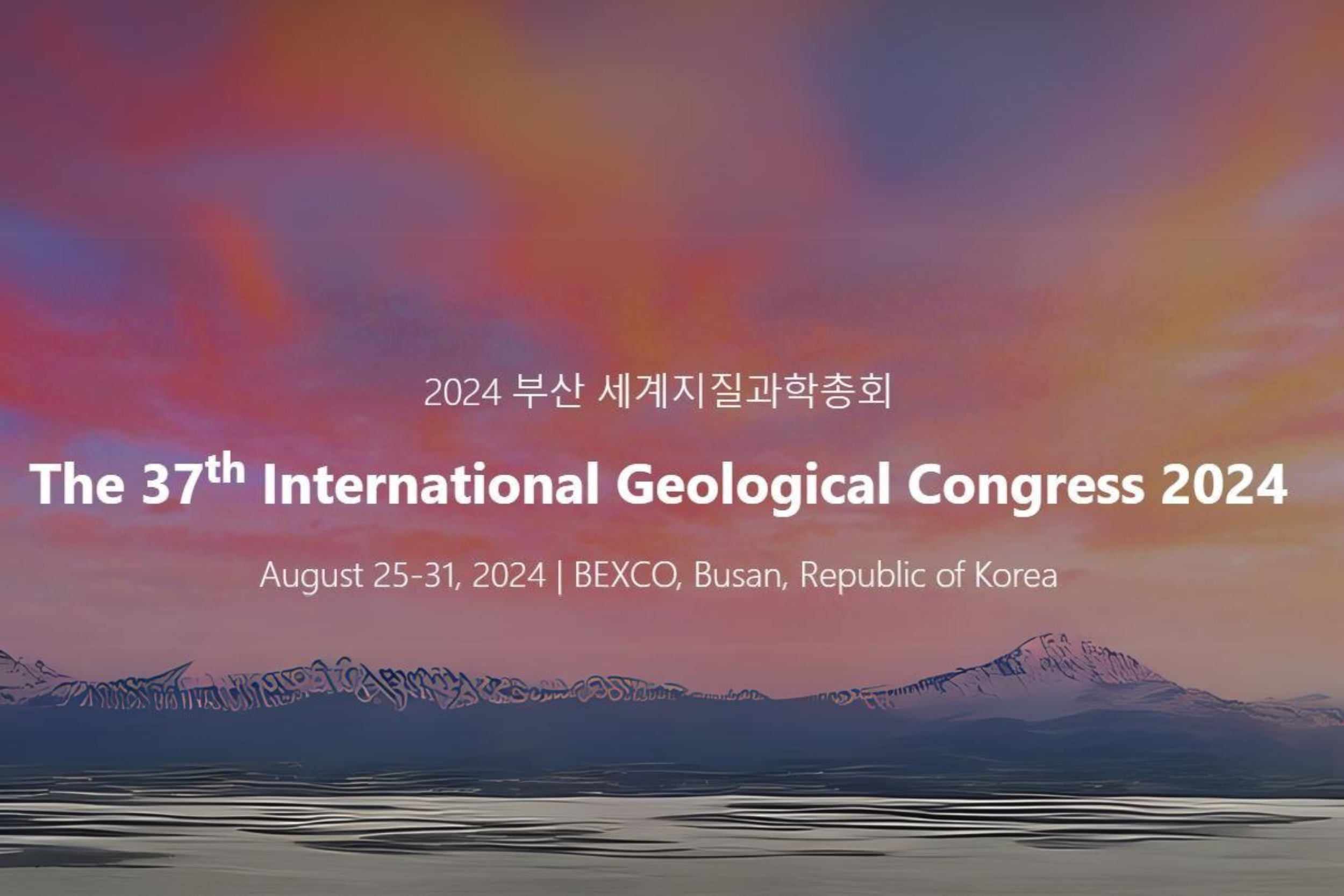
IGC 2024 - 37th Annual Conference of the International Geological Congress
There will be many opportunities to connect with Aquanty at this conference. Join Brayden McNeill at our booth for a demonstration of Aquanty’s real-time hydrologic forecasting system (HGSRT) or to learn more about the Canada1Water project.
Or you can connect with Dr. Steve Berg and Dr. Hyoun-Tae Hwang at the session that we are hosting on Groundwater Surface Water Interactions.
Finally, you’ll have a chance to learn more about HydroGeoSphere at our short-course preceding the conference. Details below!
Session Information - Groundwater and surface water interactions
Session #: T18-Session 6
Conveners: Dr. Steve Berg and Dr. Hyoun-Tae Hwang
Keynote Speaker: Dr. Rene Therrien
Description:
Groundwater-surface water (GW-SW) interactions are generally considered as water, solute, or heat exchanges between groundwater and surface water systems. Groundwater discharges into rivers and lakes and sustains ecosystems by regulating the water cycle. On the other hand, surface water also affects groundwater system through a recharge process. Therefore, from the hydrological perspective, groundwater and surface water are a single resource and managing this resource requires an understanding of how these systems interact. As a single resource, understanding interactions between groundwater and surface water has been significantly important for water quantity and quality management, including flood and drought controls, contamination risk mitigation, and biological and ecological system sustainability and assessment. Considering the importance of GW-SW interactions, there are growing studies on the spatiotemporal dynamics of GW-SW interactions because of requiring multidisciplinary understanding across social, political, and scientific communities. This session aims to bring together researchers, practitioners and stakeholders in the fields of water resources and to introduce and discuss current advancements in understanding GW-SW interaction dynamics including water flow, solute and heat transport, and eco-hydrological processes from theoretical aspects, field and laboratory experiments/observations, and numerical and analytical modelling.
HydroGeoSphere Short Course: Introduction to Fully-Integrated Hydrologic Modelling
Presenters: Dr. Hyoun-Tae Hwang
Course Assistance: Dr. Steve Berg and Brayden McNeill
Course Duration: 2 days
Description:
Tackling problems of water quantity and quality increasingly requires the simulation and quantification of complex flow and transport processes in coupled surface-subsurface systems. Over the last 15 years, HydroGeoSphere (HGS) has become available to address those types of problems. This 3-day HGS short course will be held at BEXCO, Busan, South Korea from the 23 to 24 of August 2024. The two-day short course will include three sessions: surface and groundwater modelling theories, basic tutorials for HGS operation, and advanced modelling techniques. These sessions will cover modelling techniques for solving commonly encountered advanced groundwater flow and contaminant transport problems in the real world. Participants will learn how to apply HGS to their own research or industrial projects through a combination of presentations and hand-on practices. The topics covered include: theoretical background of groundwater-surface water flow and contaminant transport (mathematical formulation and numerical approaches); hands-on simulation exercises (data preparation, mesh generation, HGS operation, calibration, visualization, and result interpretation); cost-effective computing skills (parallel computing utilities, characteristics of nonlinear problems, and effective mesh generation). Session 1. Surface and Groundwater Modelling: Theories and Real-World Applications. This session covers basic theories of surface and groundwater modelling implemented into HGS, including the development of conceptual models, a review of model parameterization/data requirements, and the application of boundary conditions. Modelling techniques related to groundwater systems will also be introduced in this session. Additionally, we will introduce the latest research and developments in fully integrated simulation of hydrosystems from the HGS team and user community, and potential applications for the HGS integrated modelling platform. Session 2. HGS Basics. This module covers basic skills for operating HGS from software installs to simulation output visualizations. All participants will practice how to construct conceptual models, setup boundary conditions and apply various groundwater physics such as well injection and extraction, reactive contaminant transport. Additionally, we will present efficient ways for processing datasets that are required for pre- and post-processes of HGS simulations. Session 3. Advanced HGS Modelling. This session covers important techniques for advanced simulations. Specifically, we will present how to generate quality meshes, model calibration processes and recent HGS developments for solving water resources problems. For advanced simulation examples and practices, all participants will solve several practical problem sets. Specifically, the topics of this workshop include: 1) overview of a basin-scale model and data structures, 2) detailed mesh generation, 3) 3D subsurface and 2D surface model constructions, 4) simulation parameter settings for cost-effective modelling, 5) detailed HGS-PEST operations based on the example model, 6) groundwater contribution analysis, and 7) model uncertainty analysis.
Webinar - Physics-based hydrologic forecasting, powered by HydroGeoSphere
Join us for an enlightening webinar as we dive into the revolutionary capabilities of our physics based hydrologic forecasting platform - a cutting-edge cloud-based computing system transforming hydrological forecasting.
The Conservation Authority Collaborative Information Sessions (CACIS)
Join us to learn about Aquanty’s hydrologic forecasting system, which produces short- and long-term predictions of streamflow rates and groundwater levels across Ontario using numerical and AI-based models. This talk will explore some of the complexities of forecast automation, from model construction to weather data processing, sensor data integration, and forecast dissemination. The audience will learn the steps involved to set up a real-time forecasting model for their region and integrate the predictions within their existing computer systems.
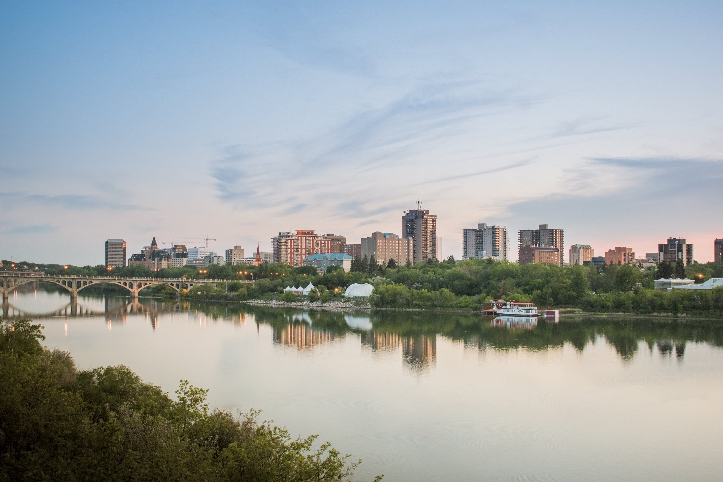
CWRA 2024 Saskatoon National Conference

Registration for CWRA 2024 National Conference is now open!
Explore the Future of Water Management at CWRA 2024 Saskatoon National Conference.
Mark your calendars for June 17-19, 2024, as the Canadian Water Resources Association (CWRA) has its highly anticipated national conference in Saskatoon. This event brings together leading experts and professionals in the field of water resources to explore innovative solutions, share best practices, and address pressing challenges facing water management in 2024.
Visit the conference website by clicking the links below, and discover the full agenda highlights, and registration details. See you in Saskatoon!
CONFERENCE REGISTRATION:
https://conference.cwra.org/registration/
FOR MORE INFORMATION:
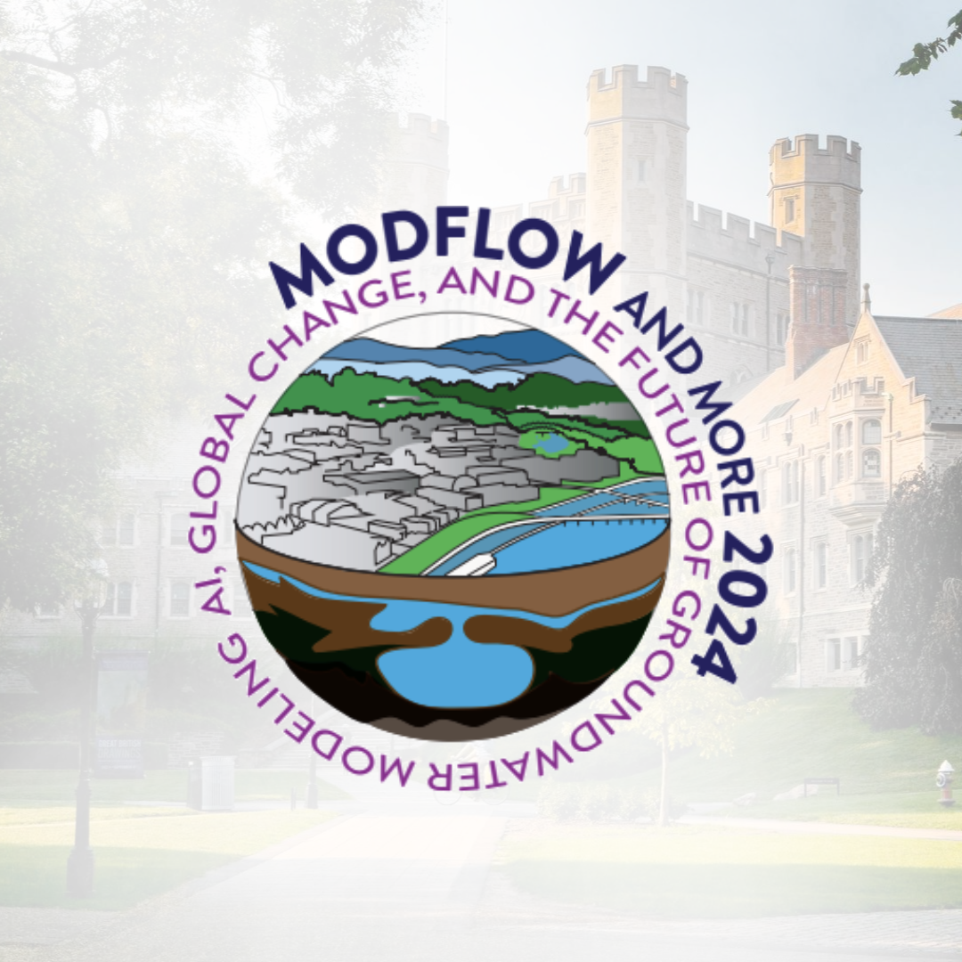
MODFLOW and More 2024

Conference Registration for MODFLOW and More 2024 “Hydrologic Modeling in a Changing World” is now open!
The 10th rendition of the MODFLOW-and-More (MF&M) conference convened in 2022 at Princeton University and was a great success, and Princeton is again the home for the 2024 conference.
The MF&M conference series has provided a vibrant forum for researchers, developers, practitioners, and regulators in the groundwater modeling community to convene, share experiences, and propagate ideas. Approaching the 2024 conference, groundwater has taken center-stage, and attendees will witness in-person presentations on wide-ranging topics and engage with leaders in the groundwater modeling community in the awe-inspiring surroundings of Princeton University.
For more event details, visit the links below:
CONFERENCE REGISTRATION:
https://princeton.irisregistration.com/Form/MODFLOW24
ABSTRACT SUBMISSION:
https://event.fourwaves.com/modflow2024/pages
FOR MORE INFORMATION:
https://igwmc.princeton.edu/modflow/
Or you can contact igwmc@princeton.edu with any questions.

IAGLR 2024 - Shared Lakes: One Water, One Health

Researchers from around the world will gather in Windsor for the 67th Annual Conference on Great Lakes Research—the fifth time we've gathered in this central location along the Detroit River, or Waawiyaataanong Ziibi , known as "where the river bends" in Anishnaabemowin. A great program is in store with four days of scientific sessions and speakers centered around our theme Shared Lakes: One Water, One Health. This focus will offer a unique opportunity for both the science and local communities to share about the health of the Great Lakes and will highlight the intersections between environmental and public health in the context of large lakes, often shared across borders, and the communities impacted by them.
Join Brayden McNeill at our booth for a demonstration of Aquanty’s real-time hydrologic forecasting system (HGSRT) or to learn more about the Canada1Water project. We also expect to be delivering a presentation during session #5 (“Smarter Lakes are Better Lakes: Creating an Ecosystem of Digitally Connected Fresh Water”).
Title: HGSRT: Connecting streams, lakes, and groundwater in real time and on the web
Abstract: Aquanty staff present HydroGeoSphere Real-Time (HGSRT), a digital web application for disseminating near-real-time hydrologic forecasts based on HydroGeoSphere, a fully integrated hydrologic modeling system that simulates the entire terrestrial water cycle. Three-dimensional physics-based models were built using HydroGeoSphere for twelve ~5000 km2 watersheds in Southern Ontario, each draining into the Great Lakes. These models are being run in near-real-time with weather forecast data and IOT sensor data, providing digital twins of the watersheds. With state-of-the-art fully integrated models under the hood, the HGSRT forecasts can confer up-to-date insights into physical processes such as streamflow, groundwater, soil moisture, recharge/discharge, and reservoir conditions. The web application is responsive and allows for water managers to monitor conditions on-the-go, including in ungauged areas. Recent developments and exciting new opportunities will be presented including water quality forecasting, quantifying forecast skill, and the development of a continental scale, open-source data framework to enable HGSRT deployment throughout the Great Lakes basin.

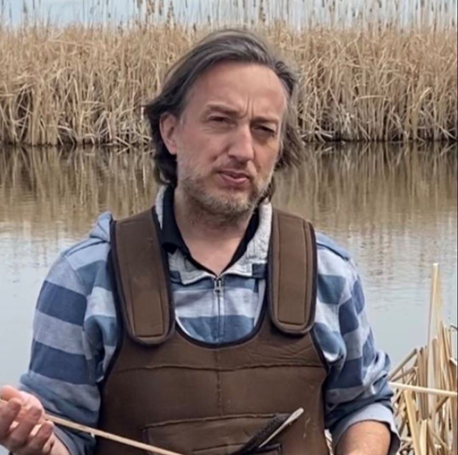
Pacific Climate Security Conference - Climate Change and Security in Western North America


Dr. Steve Frey
Aquanty’s Senior Scientist and Director of Research - Dr. Steve Frey - will take part in a panel discussion at the Climate Security Association of Canada’s (CSAC) Pacific Climate Security conference on February 1st, 2024.
Understanding the links between climate change and security is an urgent global priority for policymakers, scholars, civil society, and security and defence practitioners. Effectively
addressing these issues requires interdisciplinary and multi-method theorization, analysis, and
policy development. Join Dr. Frey, along with researchers from Northern Arizona University and University of Victoria for a panel discussion discussing specific impacts of climate change and their associated security concerns in Western North America.
“Understanding the multifaceted links between climate change and security across the global, national, and human levels of analysis is an urgent priority for policymakers, scholars, civil society, and security and defence practitioners. Complex relationships exist between the unfolding crisis of human-caused environmental change and phenomena such as armed conflict, violent extremism, migration, poverty, resource scarcity, political instability, economic prosperity, energy security, and community resilience, requiring interdisciplinary and multi-method analysis and policy development. Climate-related security challenges encompass changes in the international and domestic threat environments, the need to decarbonize defence and national security activities, and tensions among competing security priorities, electoral politics, and a range of social movements. Climate-related hazards will increase in coming years, making it vital to identify and support emerging leaders in the field of climate change and security, and to foster connections between scholars, analysts, and practitioners committed to addressing these inter-related social, political, economic, and ecological challenges.”

Webinar - Using Wetlands to “Flatten the Hydrograph”

CLICK HERE TO REGISTER
Note: all event times are in eastern (EST/EDT)
We were so pleased to see a presentation featuring HydroGeoSphere at the recent Latornell Conservation Symposium (one of Ontario's premier annual environmental conferences). The presentation - titled “Using Wetlands to “Flatten the Hydrograph” - was delivered by representatives from Ducks Unlimited Canada (DUC), and focused on a recent collaboration between DUC, Ontario Power Generation (OPG) and Aquanty. At the center of the project is an advanced integrated hydrologic model (built with HydroGeoSphere) of the Dog Lake watershed in Northern Ontario. Dog Lake is but one small part of the hydrologic network which serves as the basis for OPG’s network of hydroelectric infrastructure, a vital part of Ontario’s economy.
OPG currently supports a complex network of 66 hydroelectric generating stations and 240 hydraulic dams over the course of 24 river systems. As climate change causes hydrologic conditions to drift further and further from the historic norms upon which this complex hydroelectric infrastructure was designed, the efficiency and continued viability of the network is put at greater and greater risk. In short, climate change is leading to lower flows in the river networks serving Ontario’s hydroelectric infrastructure. This leads us to the main research question for this study: can “wetlands hold the key to helping generate more electricity for Ontario residents by decreasing peak flows in the spring and increasing ground-water flows into the reservoirs during the summer”?
If you would like to read more about this study before the webinar, please read the following story on the DUC website:
DUC and Ontario Power Generation’s wetland modelling research project could spark change
Abstract:
Climate change is resulting in earlier snowmelt, heavier spring precipitation and drier summers which is causing lower than average summer water levels in Ontario Power Generation reservoirs. This has limited OPG’s capacity to generate sufficient electricity in mid summer when demand is high. Ducks Unlimited Canada is working in partnership with Ontario Power Generation to utilize sophisticated 3D hydrological modelling to explore the feasibility of utilizing wetlands as a nature based solution to enhance baseflows into large hydroelectric reservoirs.

About the presenters:

Michael Williams is the head of restoration and client services at Ducks Unlimited Canada. Mike is long time employee with Ducks Unlimited Canada (DUC). He began his career in northern Alberta in 1990 as the Area Biologist for the Grande Prairie office and remained there until 1997 when family and a warmer climate pushed him eastward. Since relocating to Barrie, Mike has worked in various roles designing and implementing wetland habitat programs at the landscape level. Since 2016, Mike has been managing DUC’s environmental consulting branch and is responsible for providing cost effective, nature-based solutions for their Clients.
Dr. Pascal Badiou has been a research scientist with Ducks Unlimited Canada’s (DUC) Institute for Wetland and Waterfowl Research (IWWR) since 2006. Prior to joining DUC Pascal worked as an aquatic scientist specializing in water quality and aquatic ecology for an environmental consulting firm in Winnipeg. In general, Pascal’s research interests focus on the ecology of wetlands and shallow lakes. He is particularly interested in how multiple stressors such as droughts, eutrophication, nonindigenous species and pesticides interact to affect the ability of wetlands to enhance water quality and regulate greenhouse gas emissions. Currently Dr. Badiou is working in a number of prairie watersheds where he and his team are examining the impacts of wetland management practices (drainage and restoration) on hydrology and water quality at large scales. Dr. Badiou has a B.Sc. in Environmental Science and a Ph.D. in Wetland Ecology from the University of Manitoba. He is an adjunct professor in the University of Manitoba’s departments of Biological Sciences and Soil Science.
CLICK HERE TO REGISTER
2023 MFGA Conference - Regenerative Agriculture: Building the Legacy

Join Aquanty staff at the Manitoba Forage and Grassland Associations 2023 Conference, featuring North American keynote speakers and local producer panels, all focusing on regenerative agriculture and the great potential of profitable farm operations via your farm's soil, herds and learning more about the potential for human health benefits from soil-benefitting agriculture practices.

Visit our booth to demo the MFGA Aquanty Water Forecast Tool!
Don’t the keynote presentation by Aquanty’s Dr. Steve Frey 9:15-10am on Nov 15th to provide an update on our work developing the MFGA Aquanty Water Forecast Tool.
Be sure to stop by our booth for a demonstration of the forecasting tool!
“Announced last year, the tool will eventually allow the public, including farmers, to check what the water situation might look like in their area, in the same way they might check the weather. The MFGA envisions a forecast integrating soil moisture data, ground water depth, depth to groundwater, surface water levels, stream flow, exfiltration and water recharge. Users would be able to access those data layers through an online portal and could hone in on their watershed or the closest data collection station.” — Alexis Stockford, Reporter for the Manitoba Cooperator

2023 Latornell Conservation Symposium - "Changing Climates: Our Watershed Moment"
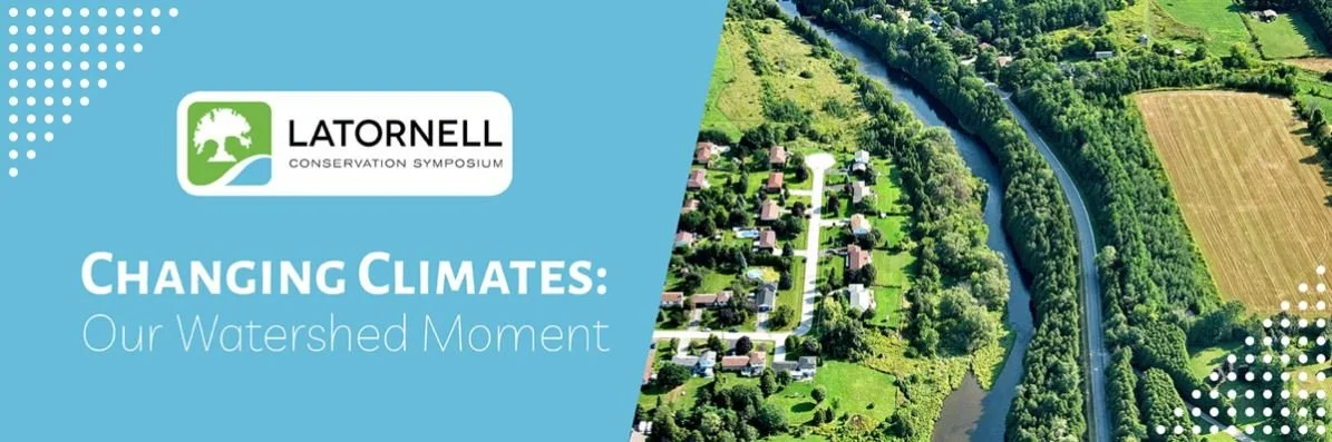
Join Aquanty staff at the 2023 Latornell Conservation Symposium, one of Ontario’s premier annual environmental events. The Symposium provides a forum for practitioners, policy makers, nongovernment organizations, academics and businesses to network and discuss the challenges and opportunities in Ontario’s conservation field.

Visit our booth to demo HGSRT!
This year’s symposium includes several sessions on topics which represent common theme’s in Aquanty’s consulting work, including watershed management, water resources, and climate change.
Brayden McNeill will be available at our exhibitor booth for the duration of the conference. Be sure to stop by for a demonstration of HGSRT (HydroGeoSphere-RealTime) - Aquanty’s real-time hydrologic forecasting platform, currently available for watersheds throughout Southern Ontario. We’ll also be available to discuss the Canada1Water project, Aquanty’s ambitious continental scale climate change impact analysis on Canada’s water resources.
“This year, the Latornell Conservation Symposium challenges conservation professionals to consider, “Is this our Watershed Moment?” We work in ever-changing environmental, political, social, and economic climates. We’re experiencing the impacts of climate change and subsequent impacts on our watersheds.”

CWRA 2023 National Conference

Join Eric Kessel, Steve Frey and Brayden McNeill at the 76th Annual Canadian Water Resources Association (CWRA) National Conference (“Rising With the Tide“) in Halifax, Nova Scotia. Eric and Steve will both be giving presentations about our ongoing Canada1Water project, and Brayden will be available at our booth to discuss Aquanty’s ongoing projects and give product demonstrations. Stop by to say hello!
Click here to register for the conference.
Canada1Water overview: A national-scale hydroclimatological modelling initiative for climate change impact analysis
Authors: Steve Frey, Hazen Russel, Andre Erler, David Lapen
When: 10:35am, Wednesday June 21st, 2023
Where: Harbour B
Assessing the impact of climate change on Canada’s water resources requires a national solution that considers both groundwater (GW) and surface water (SW). The Canada1Water (C1W) initiative addresses this need through the use of HydroGeoSphere (HGS) fully-integrated GW-SW models that collectively provide complete coverage for drainage basins over continental Canada and Baffin Island. In addition to HGS, C1W is utilizing regional climate modelling conducted with the Weather Research and Forecasting (WRF 4.3) model and land surface modelling conducted with the Community Land Model (CLM 5) to generate future climate projection ensembles and thermal regimes for the GW-SW models. Spatial resolution among models varies, with HGS resolving Strahler order 4+ rivers in a 3-D unstructured mesh with <1 to 5 km edge lengths, while WRF and CLM are running on 12.5 km and 5 km regular grids, respectively. For computational efficiency, and to accommodate distinct regional differences in physiography and hydrological characteristics, the continental-scale area of interest has been divided into seven HGS model domains that align with 7 major drainage regions; with areas ranging from 800,000 to 2.3 million km2. Each of the HGS models contains between six and eight subsurface layers that incorporate spatially varying hydraulic properties reflective of mineral and organic soils, and surficial and bedrock hydrostratigraphy. Results from C1W will help quantify changes in surface and subsurface hydrologic conditions at mid- and end-century time frames under an ensemble of climate projections. C1W model data sets and model outputs will be published under an Open Government Data licence.
Canada1Water data framework: Harmonized national-scale hydrographic, soils, and hydrogeologic information to support groundwater and surface water analysis
Authors: Eric Kessel, Steven Frey, Amanda Taylor, Omar Khader, David Lapen, Xiaoyuan Geng, Hazen Russell
When: 2:30-4:00pm, Mon & Tues (June 21st & 22nd), 2023
Where: Poster Session, Commonwealth B
Canada1Water (C1W) fully-coupled groundwater – surface water models require input data that describes surface and subsurface physical and hydraulic conditions within domains that comprise continental Canada and Baffin Island. Furthermore, the data needs to be harmonized such that it’s format, spatial resolution, and metadata is consistent. Because little of the requisite model input data previously existed at the continental scale, extensive work has gone into assembling, stitching together and normalizing datasets that typically conform to political boundaries, and/or specific regions within the C1W domain. Examples of C1W datasets include: (i) a blended and hole filled DEM available with and without stitched bathymetry for over 7500 lakes, (ii) a corrected and stream-ordered version of the NHN vector dataset, (iii) a gridded soils data set that includes classification and hydraulic properties for mineral and organic soils, (iv) physical and hydraulic characterization of surficial and bedrock hydrostratigraphy, and (v) a gridded top-of-bedrock topography. The C1W models are of relatively coarse scale, with Strahler order 4+ river representation; however, the underlying model construction datasets incorporate much finer spatial resolution and have potential uses that extend beyond large scale – regional analysis. As part of the C1W initiative, all of the harmonized model input data will be made publicly available through outlets such as the Geological Survey of Canada’s Open File system. It is the intention that the C1W datasets will help support future hydrologic modelling and analysis within Canada by simplifying the data assembly process.