

Intro to HydroGeoSphere Training Session - August 2026

This online training session is free to attend!
Note: all event times are in eastern (EST/EDT)
Join Brayden McNeill, Aquanty’s Technical Sales Leader, for a 3-4 hour introductory training session to cover essential HydroGeoSphere topics such as:
The basic HGS workflow (i.e. using grok.exe, phgs.exe, hsplot.exe)
Review of model input/output files
The essential components of a *.grok file, how to structure your model inputs
Using AlgoMesh to generate your model grids/mesh
Visualizing results using TecPlot and/or ParaView
Introduce various resources to help you learn to use HGS
e.g. using the Reference Manual, HGS User Community, and other resources to your advantage.
Intro to HydroGeoSphere Training Session - August 2026
Wed, August 5, 1:00 PM - 4:00 PM EDT
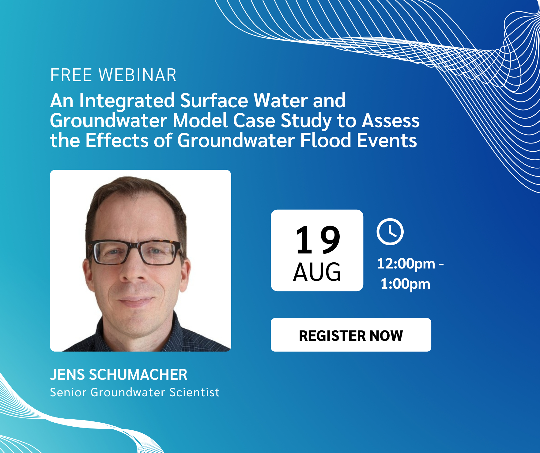
Webinar - An Integrated Surface Water and Groundwater Model Case Study to Assess the Effects of Groundwater Flood Events
Join us for an insightful presentation examining how integrated hydrologic modelling can improve our understanding of groundwater flooding and support more effective flood risk management in urban environments.
Intro to HydroGeoSphere Training Session - September 2026
This online training session is free to attend!
Note: all event times are in eastern (EST/EDT)
Join Brayden McNeill, Aquanty’s Technical Sales Leader, for a 3-4 hour introductory training session to cover essential HydroGeoSphere topics such as:
The basic HGS workflow (i.e. using grok.exe, phgs.exe, hsplot.exe)
Review of model input/output files
The essential components of a *.grok file, how to structure your model inputs
Using AlgoMesh to generate your model grids/mesh
Visualizing results using TecPlot and/or ParaView
Introduce various resources to help you learn to use HGS
e.g. using the Reference Manual, HGS User Community, and other resources to your advantage.
Intro to HydroGeoSphere Training Session - September 2026
Wed, September 9, 1:00 PM - 4:00 PM EDT

Webinar - Using a Hydraulic Mixing‑Cell to Characterize Surface Water – Groundwater Interactions in Snow‑Dominated Catchments
Join us for an engaging presentation, Using a Hydraulic Mixing‑Cell to Characterize Surface Water – Groundwater Interactions in Snow‑Dominated Catchments, exploring how integrated hydrologic modelling and innovative post-processing techniques can improve our understanding of groundwater contributions to streamflow, water age and climate change impacts in snow-dominated watersheds.
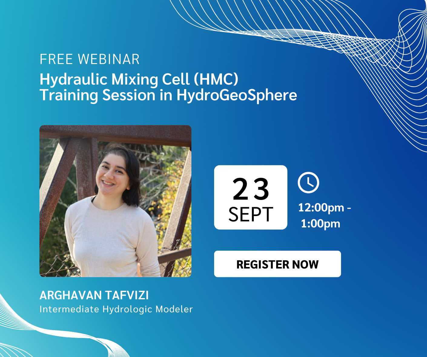
Webinar - Hydraulic Mixing Cell (HMC) Training Session in HydroGeoSphere
Join us for a focused training session dedicated to the Hydraulic Mixing Cell (HMC) feature in HydroGeoSphere (HGS). Designed for HGS users looking to better understand surface water–groundwater interactions, this practical session will provide a comprehensive overview of HMC workflows, required inputs and interpretation of results.
Intro to HydroGeoSphere Training Session - October 2026
This online training session is free to attend!
Note: all event times are in eastern (EST/EDT)
Join Brayden McNeill, Aquanty’s Technical Sales Leader, for a 3-4 hour introductory training session to cover essential HydroGeoSphere topics such as:
The basic HGS workflow (i.e. using grok.exe, phgs.exe, hsplot.exe)
Review of model input/output files
The essential components of a *.grok file, how to structure your model inputs
Using AlgoMesh to generate your model grids/mesh
Visualizing results using TecPlot and/or ParaView
Introduce various resources to help you learn to use HGS
e.g. using the Reference Manual, HGS User Community, and other resources to your advantage.
Intro to HydroGeoSphere Training Session - October 2026
Wed, October 7, 1:00 PM - 4:00 PM EDT
Intro to HydroGeoSphere Training Session - November 2026
This online training session is free to attend!
Note: all event times are in eastern (EST/EDT)
Join Brayden McNeill, Aquanty’s Technical Sales Leader, for a 3-4 hour introductory training session to cover essential HydroGeoSphere topics such as:
The basic HGS workflow (i.e. using grok.exe, phgs.exe, hsplot.exe)
Review of model input/output files
The essential components of a *.grok file, how to structure your model inputs
Using AlgoMesh to generate your model grids/mesh
Visualizing results using TecPlot and/or ParaView
Introduce various resources to help you learn to use HGS
e.g. using the Reference Manual, HGS User Community, and other resources to your advantage.
Intro to HydroGeoSphere Training Session - November 2026
Wed, November 4, 1:00 PM - 4:00 PM EDT
Intro to HydroGeoSphere Training Session - December 2026
This online training session is free to attend!
Note: all event times are in eastern (EST/EDT)
Join Brayden McNeill, Aquanty’s Technical Sales Leader, for a 3-4 hour introductory training session to cover essential HydroGeoSphere topics such as:
The basic HGS workflow (i.e. using grok.exe, phgs.exe, hsplot.exe)
Review of model input/output files
The essential components of a *.grok file, how to structure your model inputs
Using AlgoMesh to generate your model grids/mesh
Visualizing results using TecPlot and/or ParaView
Introduce various resources to help you learn to use HGS
e.g. using the Reference Manual, HGS User Community, and other resources to your advantage.
Intro to HydroGeoSphere Training Session - December 2026
Wed, December 2, 1:00 PM - 4:00 PM EDT

Webinar - Flee From Parsimony: Escaping the Boundary Condition Paradox in Groundwater Modelling
Join us for an engaging presentation, Flee From Parsimony: Escaping the Boundary Condition Paradox in Groundwater Modelling, examining how integrated hydrologic modelling approaches can address the growing complexity of groundwater management challenges.
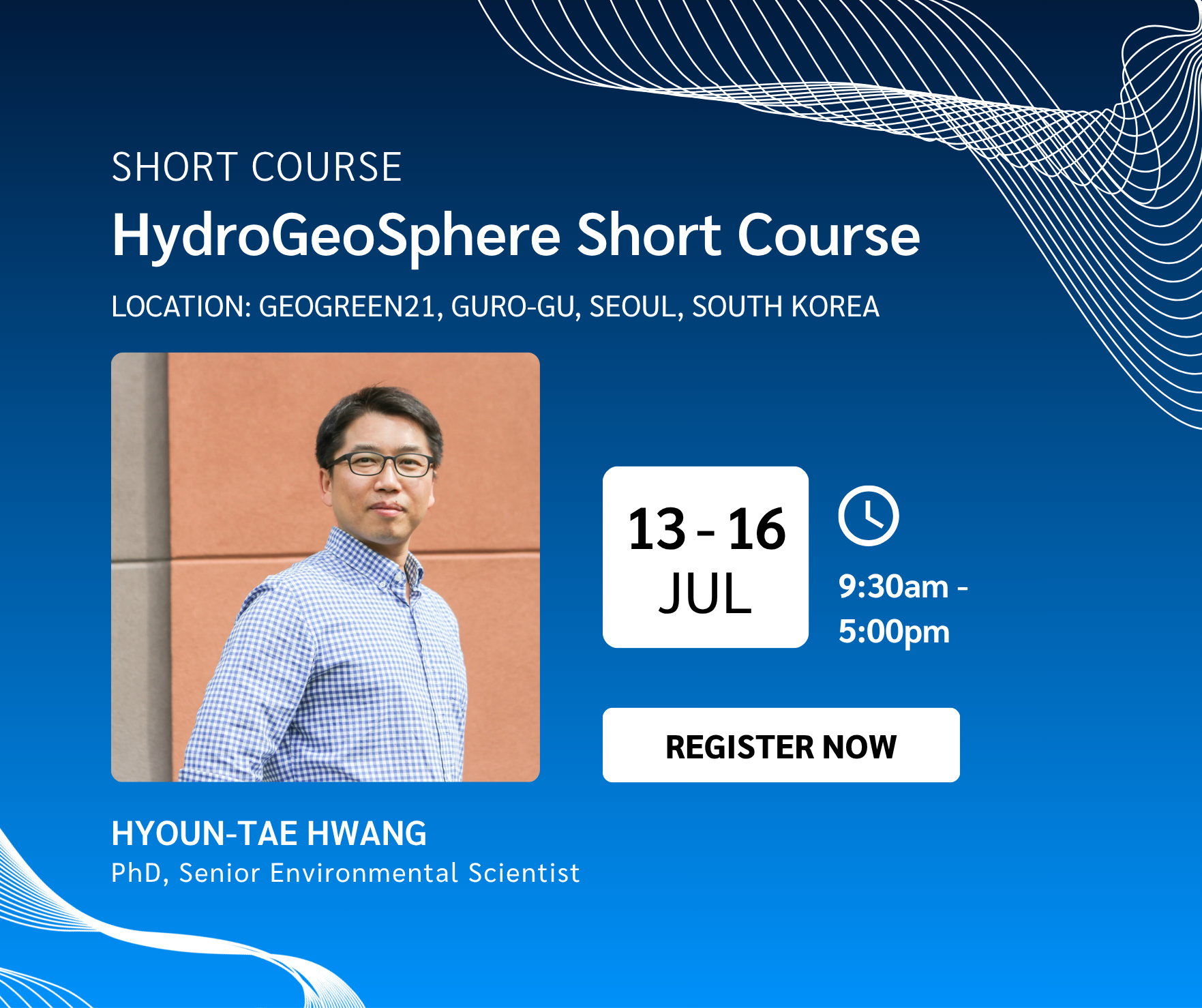
Short Course - HydroGeoSphere Short Course
Join Us for the HydroGeoSphere Short Course in Seoul!
We’re excited to share that Aquanty’s HydroGeoSphere (HGS) Short Course will be offered in partnership with GeoGreen21 from July 13–16, 2026 in Seoul, South Korea. This intensive training program led by Aquanty’s own Hyoun-Tae Hwang is designed for graduate students, researchers and industry professionals interested in integrated hydrologic modelling.
Intro to HydroGeoSphere Training Session - July 2026
This online training session is free to attend!
Note: all event times are in eastern (EST/EDT)
Join Brayden McNeill, Aquanty’s Technical Sales Leader, for a 3-4 hour introductory training session to cover essential HydroGeoSphere topics such as:
The basic HGS workflow (i.e. using grok.exe, phgs.exe, hsplot.exe)
Review of model input/output files
The essential components of a *.grok file, how to structure your model inputs
Using AlgoMesh to generate your model grids/mesh
Visualizing results using TecPlot and/or ParaView
Introduce various resources to help you learn to use HGS
e.g. using the Reference Manual, HGS User Community, and other resources to your advantage.
Intro to HydroGeoSphere Training Session - July 2026
Wed, July 08, 1:00 PM - 4:00 PM EDT
IMWA 2026 Conference
Join Us at the International Mine Water Association (IMWA) Congress!
We’re excited to share that Aquanty will be taking part in the International Mine Water Association Congress (IMWA Congress), one of the world's leading events dedicated to mine water research, management, and innovation.
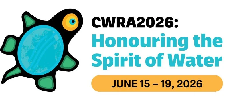
CWRA 2026 National Conference
Join Us at the 2026 CWRA National Conference!
We’re excited to share that Aquanty will be taking part in the 79th Annual National CWRA Conference — a leading national event dedicated to advancing water science, policy, and management across Canada. This year’s conference will bring together water professionals from government, academia, Indigenous organizations, conservation authorities, and the private sector to explore innovative approaches to integrated water resource management and address emerging challenges facing Canada’s water systems.
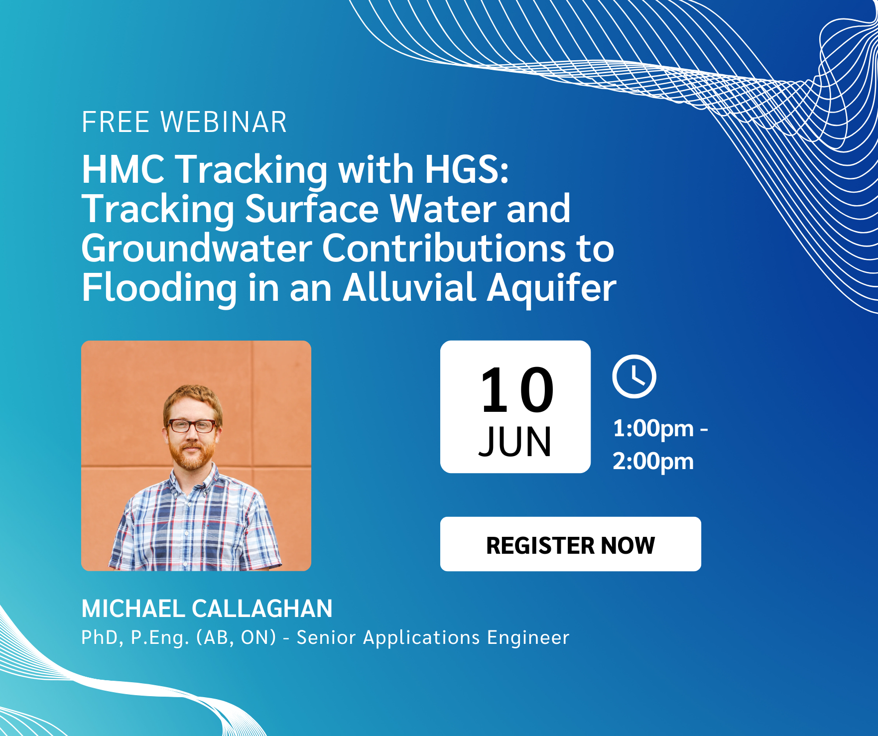
Webinar - HMC Tracking with HGS: Tracking Surface Water and Groundwater Contributions to Flooding in an Alluvial Aquifer
Join us for an insightful presentation exploring how integrated hydrologic modelling can improve understanding of groundwater flooding risks in alluvial aquifer systems— particularly during major flood events.
Intro to HydroGeoSphere Training Session - June 2026
This online training session is free to attend!
Note: all event times are in eastern (EST/EDT)
Join Brayden McNeill, Aquanty’s Technical Sales Leader, for a 3-4 hour introductory training session to cover essential HydroGeoSphere topics such as:
The basic HGS workflow (i.e. using grok.exe, phgs.exe, hsplot.exe)
Review of model input/output files
The essential components of a *.grok file, how to structure your model inputs
Using AlgoMesh to generate your model grids/mesh
Visualizing results using TecPlot and/or ParaView
Introduce various resources to help you learn to use HGS
e.g. using the Reference Manual, HGS User Community, and other resources to your advantage.
Intro to HydroGeoSphere Training Session - June 2026
Wed, June 03, 1:00 PM - 4:00 PM EDT

Western Groundwater Forum
Join Us at the Western Groundwater Forum!
We’re excited to share that Aquanty will be taking part in the 2026 Western Groundwater Forum — an event dedicated to bringing the groundwater community together to share knowledge, strengthen collaboration, and advance groundwater science and management. At this year’s forum, Mike Callaghan, Senior Applications Engineer at Aquanty, will present: Flee From Parsimony: Escaping the Boundary Condition Paradox in Groundwater Modelling.
One-Day HydroGeoSphere Training Session - May 2026
Note: all event times are in eastern (EST/EDT)
Date: Sunday, May 24th, at 8:30am to 5:00pm
Location: Dalhousie University, Halifax, NS, B3J 0H4
Room: B229, Sexton Campus
Cost: 300$ + taxes (professional), 150$ + taxes (student)
Join Brayden McNeill, Aquanty’s Technical Sales Leader, for a one-day intensive course which explores the complete integrated hydrologic modelling process using HydroGeoSphere (HGS). This course consists of various lectures and exercises to explore topics such as: (i) the benefits of integrated hydrologic modelling; (ii) the governing equations that control flow in an HGS model; (iii) use of supporting software for model mesh generation and results visualization; (iv) model parameterization and conceptualization of boundary conditions; (v) numerical solution techniques and recommended settings optimal convergence and improved runtimes; and (vi) model convergence troubleshooting, model calibration and more. Participants will receive a temporary license of HydroGeoSphere (30-day), a temporary license of AlgoMesh (2-week), a copy of all course content including lectures (PDF) and exercises, and the opportunity to network with other HydroGeoSphere users and the software development team.

Joint CGU and IAH-CNC Annual Meeting 2026
Join us for the Joint CGU and IAH-CNC Annual Meeting 2026, themed Advancing Knowledge in Earth and Environmental Science, hosted at Dalhousie University in Halifax, Nova Scotia, from May 24–27, 2026.
This joint meeting brings together geoscientists, hydrogeologists, engineers, and researchers from across Canada and around the world to share research, foster collaboration, and strengthen connections across the geosciences and hydrogeology communities.
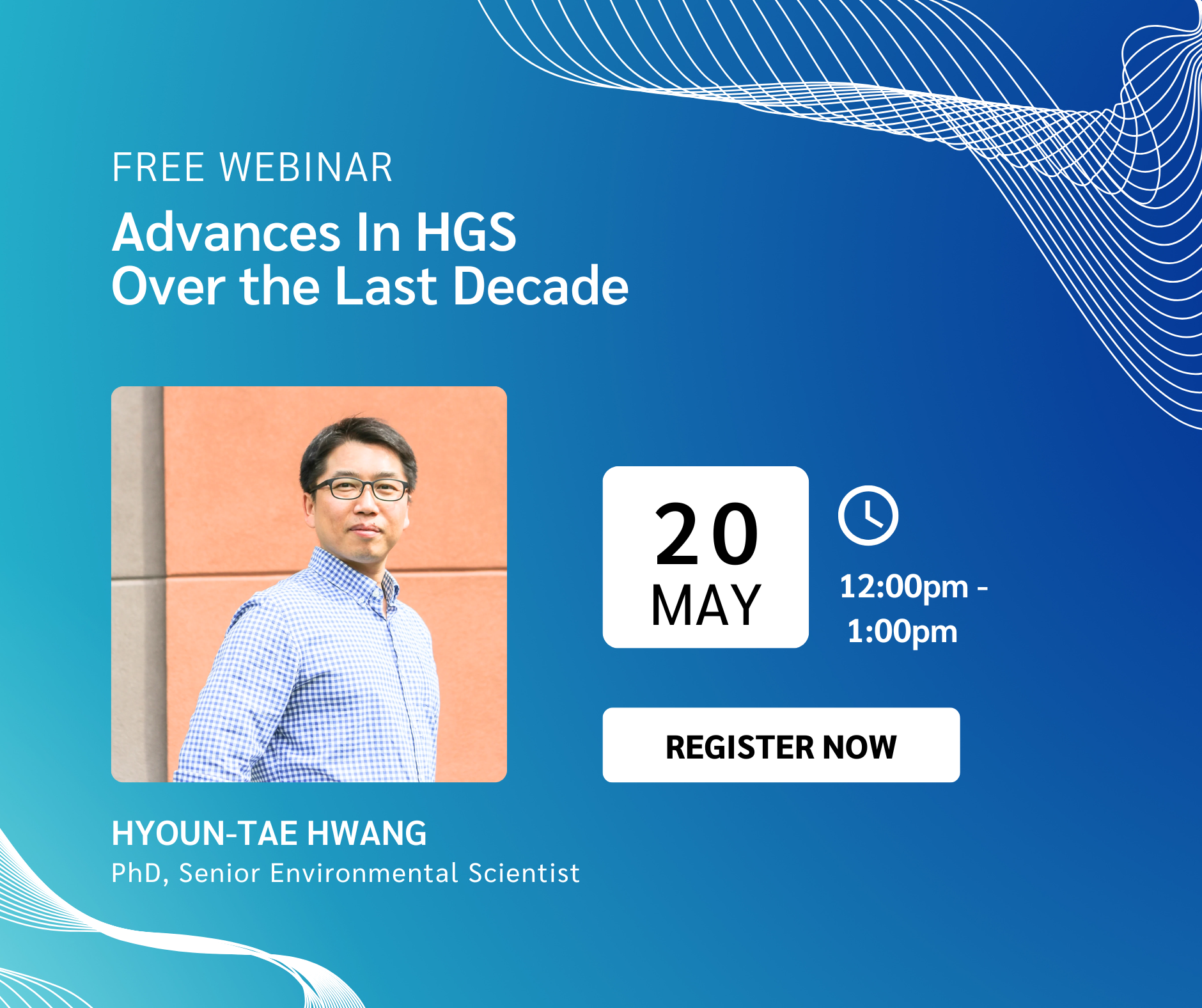
Webinar - Advances in HydroGeoSphere (HGS) Over The Last Decade
Join us for an insightful webinar examining the evolution of HydroGeoSphere (HGS) — from its origins as an ambitious integrated hydrologic modelling experiment to a widely trusted, industry-leading platform advancing groundwater and surface water simulation.
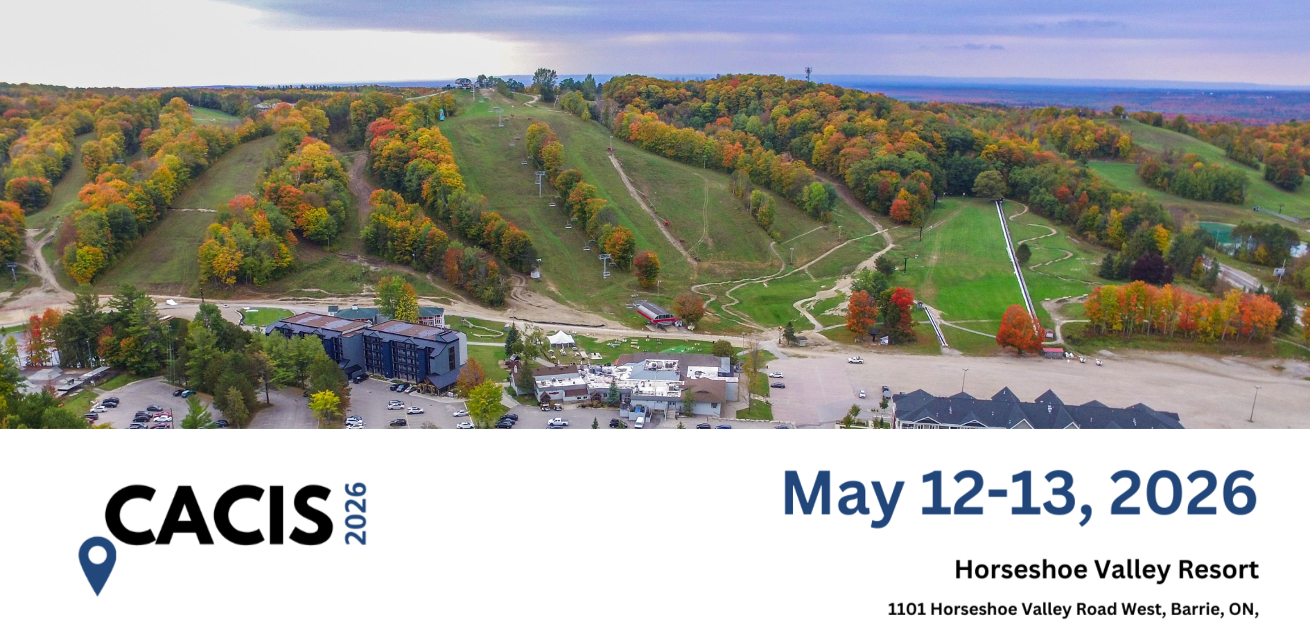
CACIS 2026
Join Us at CACIS 2026!
We’re excited to share that Aquanty will be taking part in the Conservation Authority Collaborative Information Sessions (CACIS) 2026— a cornerstone annual event dedicated to advancing GIS, IT, and information management across Ontario’s conservation authority community.
Intro to HydroGeoSphere Training Session - May 2026
This online training session is free to attend!
Note: all event times are in eastern (EST/EDT)
Join Brayden McNeill, Aquanty’s Technical Sales Leader, for a 3-4 hour introductory training session to cover essential HydroGeoSphere topics such as:
The basic HGS workflow (i.e. using grok.exe, phgs.exe, hsplot.exe)
Review of model input/output files
The essential components of a *.grok file, how to structure your model inputs
Using AlgoMesh to generate your model grids/mesh
Visualizing results using TecPlot and/or ParaView
Introduce various resources to help you learn to use HGS
e.g. using the Reference Manual, HGS User Community, and other resources to your advantage.
Intro to HydroGeoSphere Training Session - May 2026
Wed, May 06, 1:00 PM - 4:00 PM EDT

2026 Power of Water Canada Technical Conference and Trade Show
Join Us at the 2026 Power of Water Canada Technical Conference and Trade Show!
We’re excited to share that Aquanty will be taking part in the 2026 Power of Water Canada (POWC) Technical Conference and Trade Show—the largest gathering of the hydroelectric industry in the country!
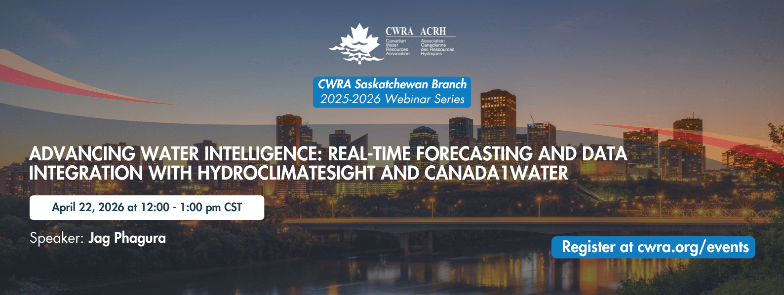
SK Branch Webinar: Advancing Water Intelligence: Real-Time Forecasting and Data Integration with HydroClimateSight and Canada1Water
Join Us for the CWRA Saskatchewan Branch Webinar: Advancing Water Intelligence with HydroClimateSight and Canada1Water
We’re excited to share that Aquanty will be presenting at the upcoming Canadian Water Resources Association (CWRA) Saskatchewan Branch Webinar, focused on advancing real-time hydrological forecasting and national-scale data integration.
Intro to HydroGeoSphere Training Session - April 2026
This online training session is free to attend!
Note: all event times are in eastern (EST/EDT)
Join Brayden McNeill, Aquanty’s Technical Sales Leader, for a 3-4 hour introductory training session to cover essential HydroGeoSphere topics such as:
The basic HGS workflow (i.e. using grok.exe, phgs.exe, hsplot.exe)
Review of model input/output files
The essential components of a *.grok file, how to structure your model inputs
Using AlgoMesh to generate your model grids/mesh
Visualizing results using TecPlot and/or ParaView
Introduce various resources to help you learn to use HGS
e.g. using the Reference Manual, HGS User Community, and other resources to your advantage.
Intro to HydroGeoSphere Training Session - March 2026
This online training session is free to attend!
Note: all event times are in eastern (EST/EDT)
Join Brayden McNeill, Aquanty’s Technical Sales Leader, for a 3-4 hour introductory training session to cover essential HydroGeoSphere topics such as:
The basic HGS workflow (i.e. using grok.exe, phgs.exe, hsplot.exe)
Review of model input/output files
The essential components of a *.grok file, how to structure your model inputs
Using AlgoMesh to generate your model grids/mesh
Visualizing results using TecPlot and/or ParaView
Introduce various resources to help you learn to use HGS
e.g. using the Reference Manual, HGS User Community, and other resources to your advantage.
Intro to HydroGeoSphere Training Session - February 2026
This online training session is free to attend!
Note: all event times are in eastern (EST/EDT)
Join Brayden McNeill, Aquanty’s Technical Sales Leader, for a 3-4 hour introductory training session to cover essential HydroGeoSphere topics such as:
The basic HGS workflow (i.e. using grok.exe, phgs.exe, hsplot.exe)
Review of model input/output files
The essential components of a *.grok file, how to structure your model inputs
Using AlgoMesh to generate your model grids/mesh
Visualizing results using TecPlot and/or ParaView
Introduce various resources to help you learn to use HGS
e.g. using the Reference Manual, HGS User Community, and other resources to your advantage.
2026 Ontario Groundwater Geoscience Open House
Join us for the 2026 Ontario Groundwater Geoscience Open House, presented by the Ontario Geological Survey (OGS), Geological Survey of Canada (GSC), and Conservation Ontario Geoscientists. This annual technical conference highlights current groundwater research and projects happening across Ontario.

Webinar - HydroGeoSphere Development 2025: The Year in Review
Join us for an insightful webinar, HydroGeoSphere Development 2025: The Year in Review, as we look back at the major developments, enhancements, and structural changes introduced to HydroGeoSphere over the past year.

Webinar - Tools and Strategies for Agricultural Water Management
Join us for an enlightening webinar as we dive into the tools and strategies for agricultural water management.

Webinar - Introducing hgs2vtu for HGS model post-processing
Join us for an informative webinar introducing hgs2vtu.exe, the powerful new post-processing utility for HydroGeoSphere (HGS) model outputs.
Intro to HydroGeoSphere Training Session - December 2025
This online training session is free to attend!
Note: all event times are in eastern (EST/EDT)
Join Brayden McNeill, Aquanty’s Technical Sales Leader, for a 3-4 hour introductory training session to cover essential HydroGeoSphere topics such as:
The basic HGS workflow (i.e. using grok.exe, phgs.exe, hsplot.exe)
Review of model input/output files
The essential components of a *.grok file, how to structure your model inputs
Using AlgoMesh to generate your model grids/mesh
Visualizing results using TecPlot and/or ParaView
Introduce various resources to help you learn to use HGS
e.g. using the Reference Manual, HGS User Community, and other resources to your advantage.

CWRA Alberta – IAH CNC Conference
Join us at the CWRA-Alberta and IAH-CNC Mixing Zone & Meeting Minds Conference on Nov. 12-14, 2025 - Edmonton, Alberta!
This joint event brings together experts, researchers, and practitioners from groundwater and surface water disciplines to foster collaboration and share cutting-edge insights into integrated water resource management.
Intro to HydroGeoSphere Training Session - November 2025
This online training session is free to attend!
Note: all event times are in eastern (EST/EDT)
Join Brayden McNeill, Aquanty’s Technical Sales Leader, for a 3-4 hour introductory training session to cover essential HydroGeoSphere topics such as:
The basic HGS workflow (i.e. using grok.exe, phgs.exe, hsplot.exe)
Review of model input/output files
The essential components of a *.grok file, how to structure your model inputs
Using AlgoMesh to generate your model grids/mesh
Visualizing results using TecPlot and/or ParaView
Introduce various resources to help you learn to use HGS
e.g. using the Reference Manual, HGS User Community, and other resources to your advantage.

Webinar - Assessing the Sensitivity of Subsurface Mine-Dewatering Simulations to Surface Water Representation
Join us for an insightful session exploring how climate change may influence mine dewatering strategies, featuring cutting-edge integrated hydrologic modelling approaches.
Intro to HydroGeoSphere Training Session - August 2025
This online training session is free to attend!
Note: all event times are in eastern (EST/EDT)
Join Brayden McNeill, Aquanty’s Technical Sales Leader, for a 3-4 hour introductory training session to cover essential HydroGeoSphere topics such as:
The basic HGS workflow (i.e. using grok.exe, phgs.exe, hsplot.exe)
Review of model input/output files
The essential components of a *.grok file, how to structure your model inputs
Using AlgoMesh to generate your model grids/mesh
Visualizing results using TecPlot and/or ParaView
Introduce various resources to help you learn to use HGS
e.g. using the Reference Manual, HGS User Community, and other resources to your advantage.
Intro to HydroGeoSphere Training Session - July 2025
This online training session is free to attend!
Note: all event times are in eastern (EST/EDT)
Join Brayden McNeill, Aquanty’s Technical Sales Leader, for a 3-4 hour introductory training session to cover essential HydroGeoSphere topics such as:
The basic HGS workflow (i.e. using grok.exe, phgs.exe, hsplot.exe)
Review of model input/output files
The essential components of a *.grok file, how to structure your model inputs
Using AlgoMesh to generate your model grids/mesh
Visualizing results using TecPlot and/or ParaView
Introduce various resources to help you learn to use HGS
e.g. using the Reference Manual, HGS User Community, and other resources to your advantage.
Intro to HydroGeoSphere Training Session - June 2025
This online training session is free to attend!
Note: all event times are in eastern (EST/EDT)
Join Brayden McNeill, Aquanty’s Technical Sales Leader, for a 3-4 hour introductory training session to cover essential HydroGeoSphere topics such as:
The basic HGS workflow (i.e. using grok.exe, phgs.exe, hsplot.exe)
Review of model input/output files
The essential components of a *.grok file, how to structure your model inputs
Using AlgoMesh to generate your model grids/mesh
Visualizing results using TecPlot and/or ParaView
Introduce various resources to help you learn to use HGS
e.g. using the Reference Manual, HGS User Community, and other resources to your advantage.
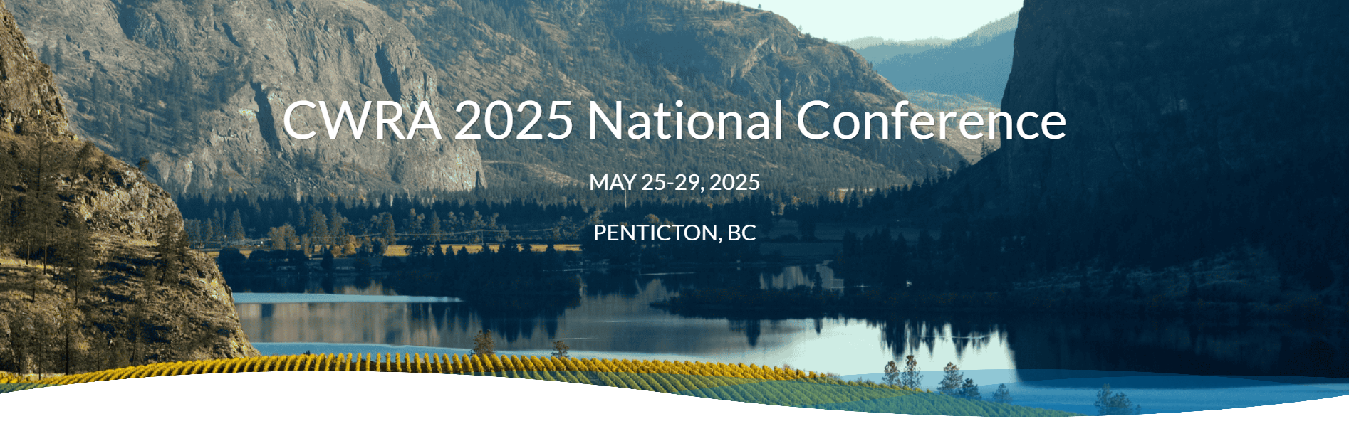
CWRA 2025 National Conference

Join Us at the CWRA 2025 National Conference in Penticton, BC!
Mark your calendars for the CWRA 2025 National Conference, taking place May 25-29, 2025, in Penticton, BC—on the traditional territories of the Okanagan (Syilx) People in the Okanagan Watershed.
With the theme “Living Between Waters – Connecting Water & Resilience,” this year’s conference will focus on collaboration, Indigenous rights, and the role of municipalities, governments, and industry in advancing water resilience.
The event will feature technical sessions, workshops, and panel discussions highlighting practical solutions for shared water management across jurisdictions and watersheds. Attendees will explore strategies for building partnerships, Indigenous-led stewardship, and ensuring a sustainable water future.
DATE: May 25 - 29, 2025
LOCATION: Penticton, BC
Visit the conference website by clicking the links below, and discover the full speaker list, and registration details.
FOR MORE INFORMATION:
Click here to learn more about the event and stay updated on program details.