
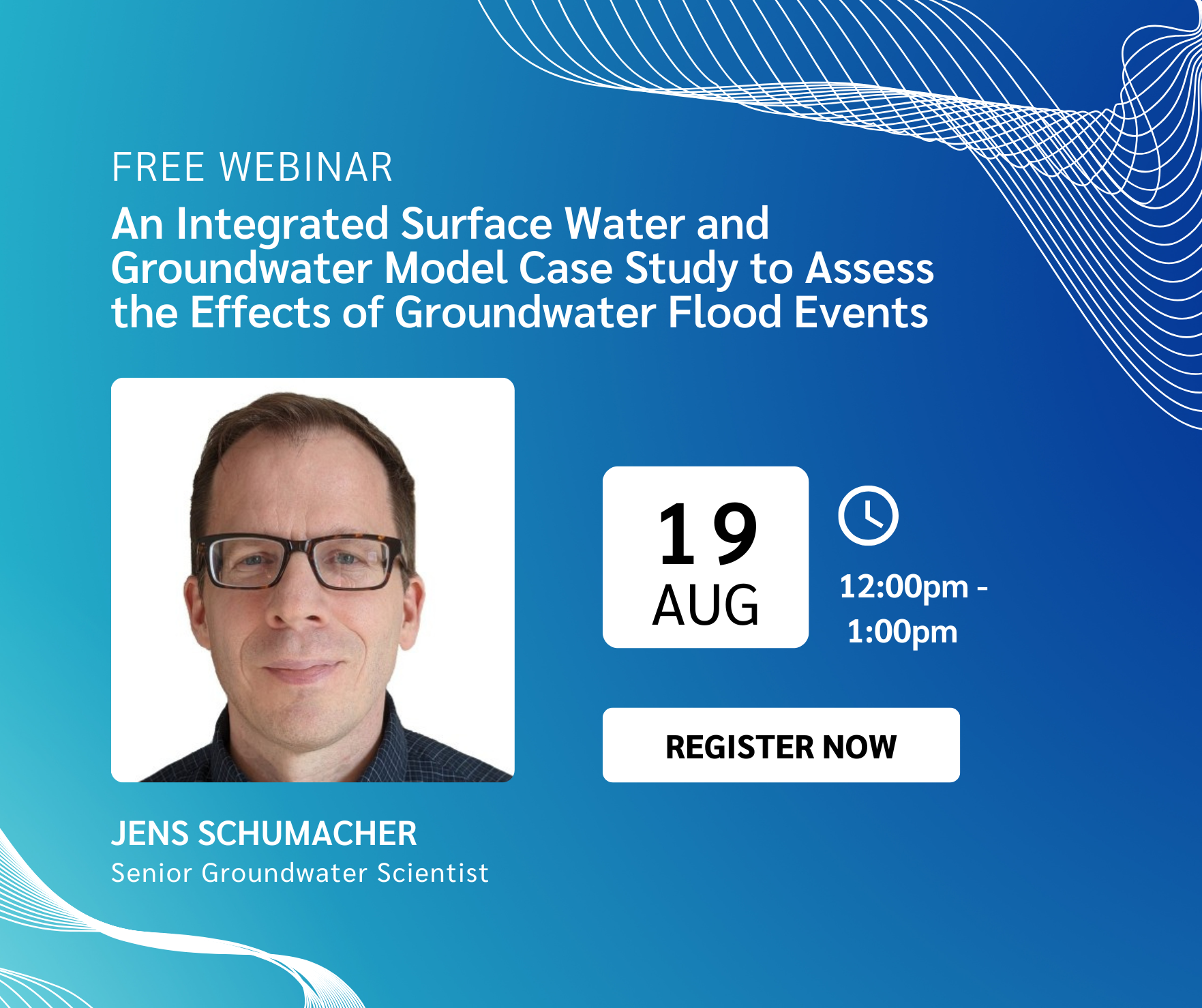
Webinar - An Integrated Surface Water and Groundwater Model Case Study to Assess the Effects of Groundwater Flood Events
Join us for an insightful presentation examining how integrated hydrologic modelling can improve our understanding of groundwater flooding and support more effective flood risk management in urban environments.

Webinar - Using a Hydraulic Mixing‑Cell to Characterize Surface Water – Groundwater Interactions in Snow‑Dominated Catchments
Join us for an engaging presentation, Using a Hydraulic Mixing‑Cell to Characterize Surface Water – Groundwater Interactions in Snow‑Dominated Catchments, exploring how integrated hydrologic modelling and innovative post-processing techniques can improve our understanding of groundwater contributions to streamflow, water age and climate change impacts in snow-dominated watersheds.
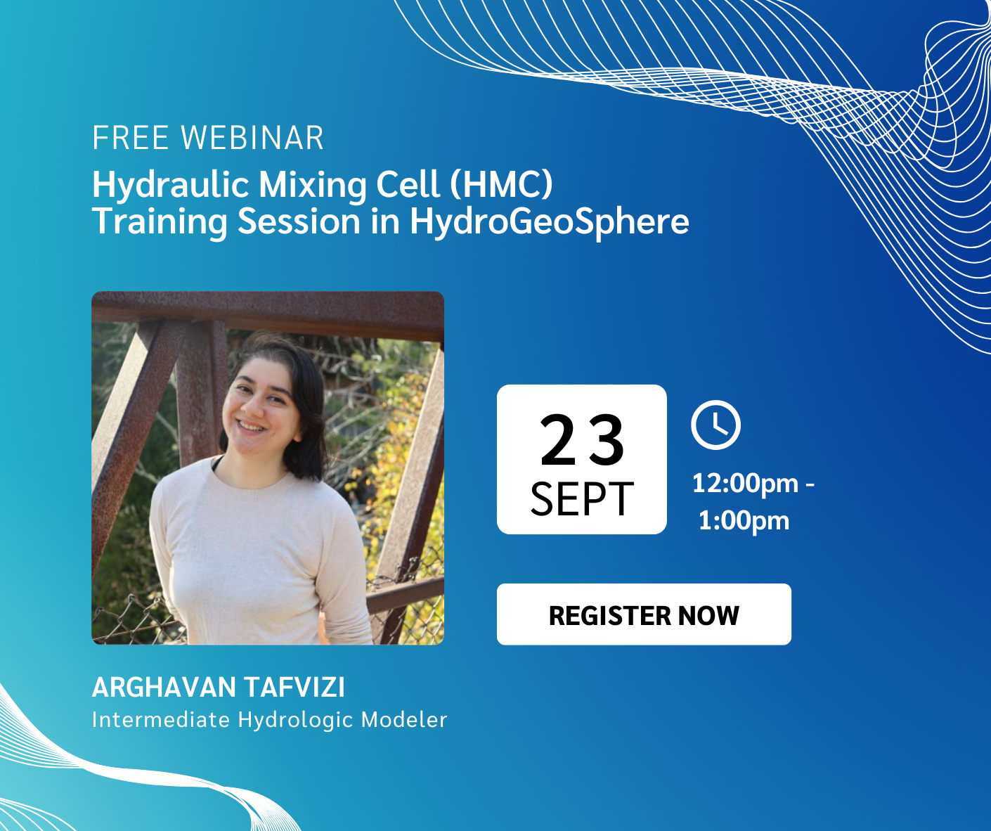
Webinar - Hydraulic Mixing Cell (HMC) Training Session in HydroGeoSphere
Join us for a focused training session dedicated to the Hydraulic Mixing Cell (HMC) feature in HydroGeoSphere (HGS). Designed for HGS users looking to better understand surface water–groundwater interactions, this practical session will provide a comprehensive overview of HMC workflows, required inputs and interpretation of results.

Webinar - Flee From Parsimony: Escaping the Boundary Condition Paradox in Groundwater Modelling
Join us for an engaging presentation, Flee From Parsimony: Escaping the Boundary Condition Paradox in Groundwater Modelling, examining how integrated hydrologic modelling approaches can address the growing complexity of groundwater management challenges.
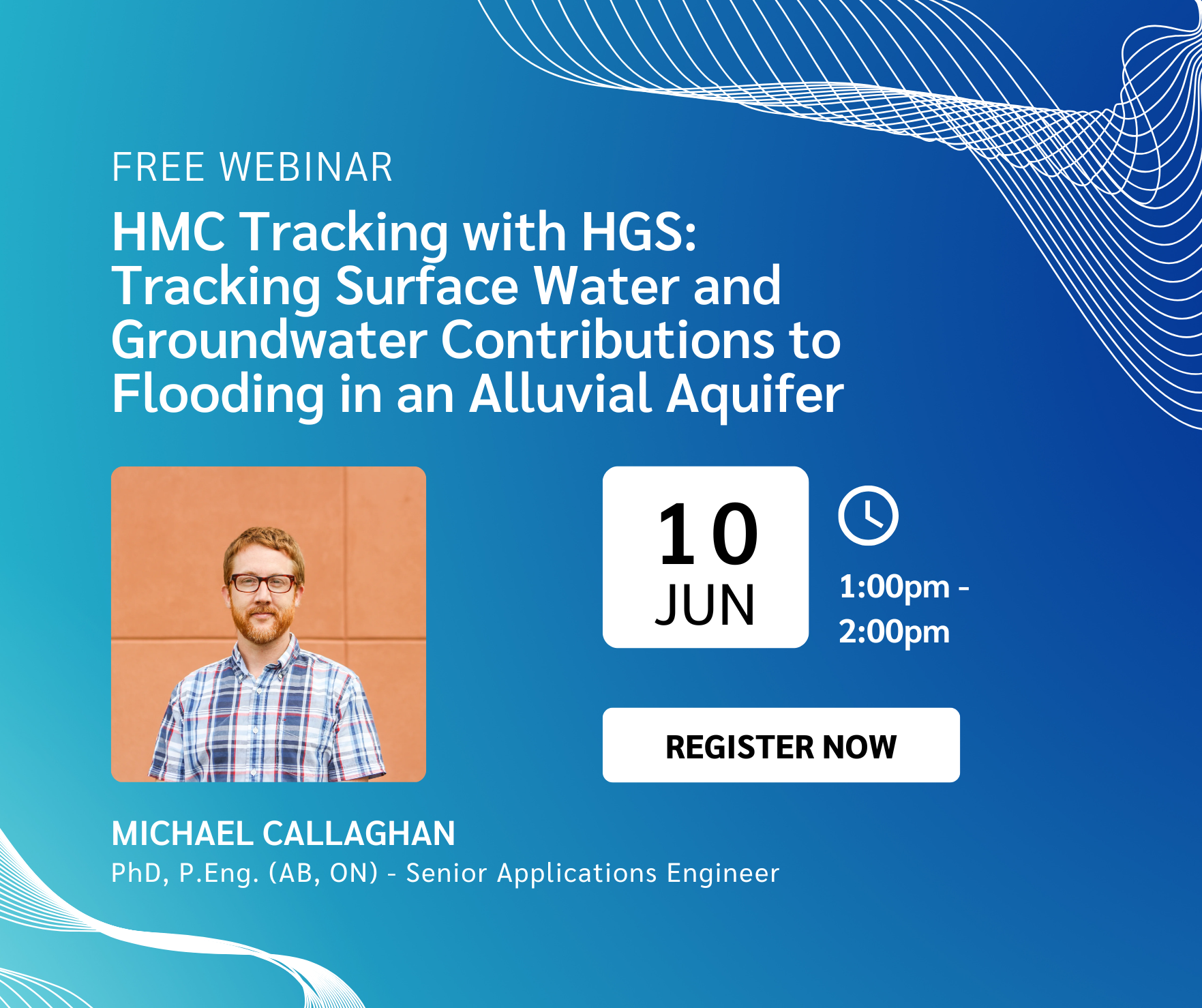
Webinar - HMC Tracking with HGS: Tracking Surface Water and Groundwater Contributions to Flooding in an Alluvial Aquifer
Join us for an insightful presentation exploring how integrated hydrologic modelling can improve understanding of groundwater flooding risks in alluvial aquifer systems— particularly during major flood events.

Webinar - Advances in HydroGeoSphere (HGS) Over The Last Decade
Join us for an insightful webinar examining the evolution of HydroGeoSphere (HGS) — from its origins as an ambitious integrated hydrologic modelling experiment to a widely trusted, industry-leading platform advancing groundwater and surface water simulation.

Webinar - HydroGeoSphere Development 2025: The Year in Review
Join us for an insightful webinar, HydroGeoSphere Development 2025: The Year in Review, as we look back at the major developments, enhancements, and structural changes introduced to HydroGeoSphere over the past year.

Webinar - Tools and Strategies for Agricultural Water Management
Join us for an enlightening webinar as we dive into the tools and strategies for agricultural water management.

Webinar - Introducing hgs2vtu for HGS model post-processing
Join us for an informative webinar introducing hgs2vtu.exe, the powerful new post-processing utility for HydroGeoSphere (HGS) model outputs.

Webinar - Assessing the Sensitivity of Subsurface Mine-Dewatering Simulations to Surface Water Representation
Join us for an insightful session exploring how climate change may influence mine dewatering strategies, featuring cutting-edge integrated hydrologic modelling approaches.

Working at Aquanty – Coop Placement Information Session
As Aquanty continues to grow we are keen to bring on bright young minds who are interested in fully integrated hydrologic modelling, and to help them transition into a successful career in water resources modelling/engineering. This information session will help prospective co-op students to learn more about working at Aquanty and what kinds of projects you can expect to work on.

Webinar - HydroSphereAI: Machine Learning-Driven Insights and Hydrological Forecasting in a Changing Climate
Join us for an insightful webinar on HydroSphereAI, where we explore a cutting-edge Machine Learning (ML)-driven approach to hydrological forecasting. Learn how our models improve streamflow predictions, even in ungauged basins, and how real-time data integration enhances forecasting accuracy. We’ll also demonstrate the HydroSphereAI platform and its practical applications for water resource management.
CANCID Webinar: Tile Drainage, and Tile Drainage Management Influences on Groundwater and Surface Water
Tile drainage management is considered a beneficial management practice (BMP) for reducing nutrient loads in surface water. Research has shown that controlling tile discharge via control structures with adjustable stop gates can be very effective for reducing tile discharge volume, and that on an annualized basis there is often a reduction in nutrient losses that is proportional to the reduction in discharge. However, the influence of controlled drainage on groundwater resources is rarely considered. In this presentation we will discuss tile drainage experiments that were conducted in Ontario, Canada, that were designed to assess the influence of drainage management on the movement of nutrients and chemical tracers to surface water and groundwater under controlled (CD) and free drainage (FD) tile management. We will also present results from 2-dimensional dual-permeability modeling that was conducted to help develop a better understanding of the flow and transport processes within the soil profile and shallow groundwater system under different drainage management scenarios. Results from the modeling demonstrate that dominant flow and transport characteristics at the field site were successfully replicated, including higher, more continuous tile discharge and lower peak tracer concentrations in FD tile effluent; as compared to CD, where discharge was intermittent but peak concentrations were higher. Explicit representation of preferential flow in the modeling work was essential, as macropores were shown to transmit > 98 % of surface infiltration, tile flow, and tile nutrient loads for both FD and CD. Results show that while CD can reduce tile discharge and soluble nutrient loads and concentrations in tile effluent and hence surface water receptors, it can also promote NO3 loading into groundwater.
CANCID: International Committee on Irrigation and Drainage- A History and Outlook
The International Committee on Irrigation and Drainage (ICID) was established as a not-for-profit organization in New Delhi, India, in 1950 by founding members Brazil, Egypt, India, Indonesia, Italy, Netherlands, Serbia (former Yugoslavia), Sri Lanka, Switzerland, Thailand and Turkey to encourage the global development of science and techniques around irrigated agriculture.
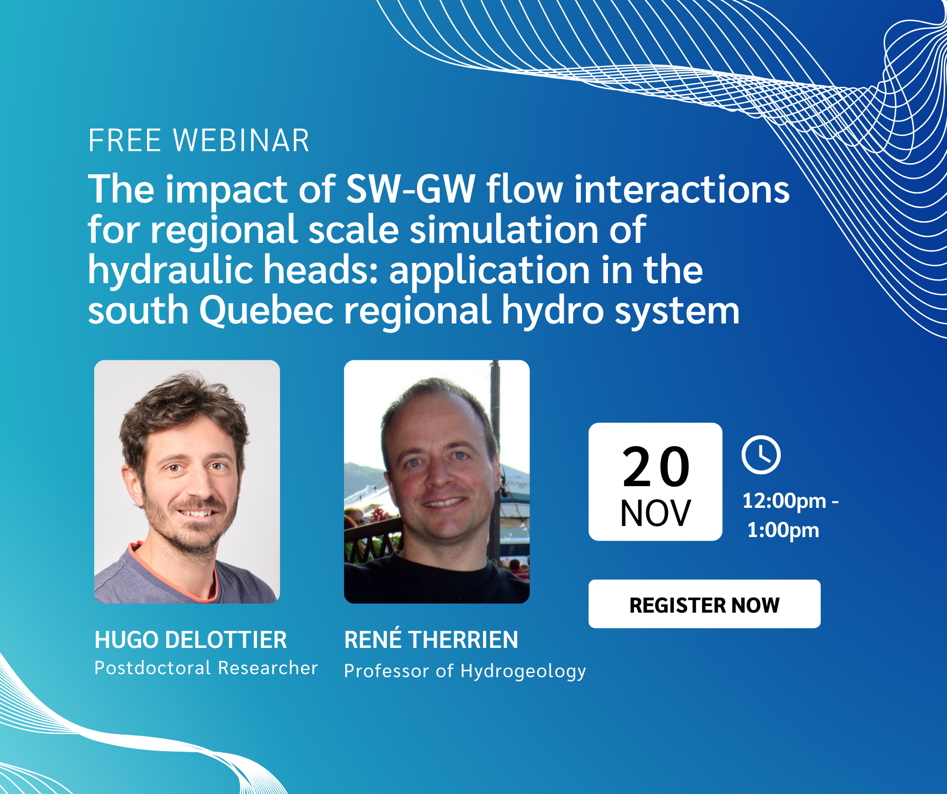
Webinar - The impact of SW-GW flow interactions for regional scale simulation of hydraulic heads: application in the south Quebec regional hydro system
Join us for an enlightening webinar as we dive into how the interaction between surface water (SW) and groundwater (GW) affects the accuracy of regional-scale simulations of water table elevations in Southern Quebec.
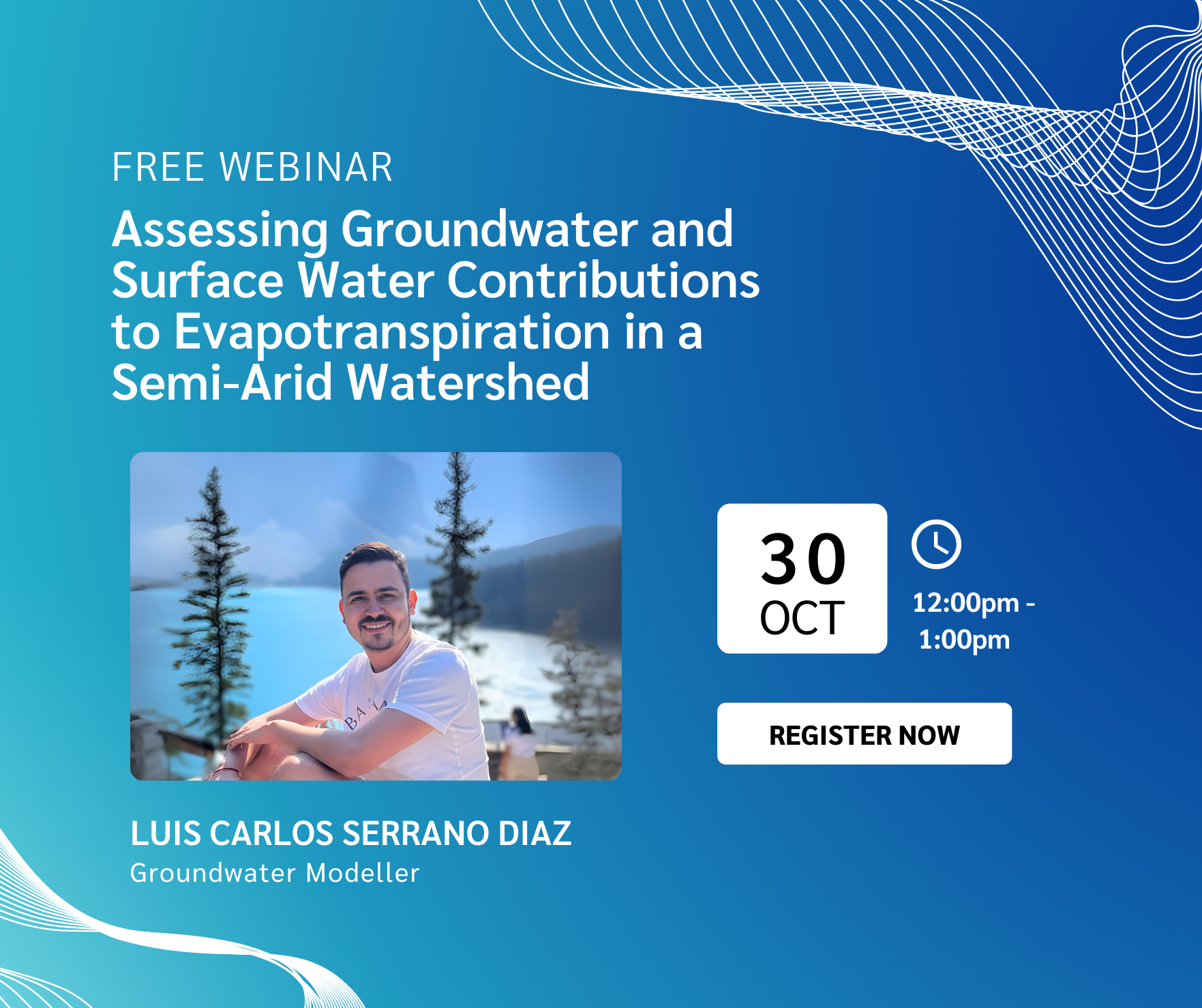
Webinar - Assessing Groundwater and Surface Water Contributions to Evapotranspiration in a Semi-Arid Watershed
Join us for an enlightening webinar as we explore how actual evapotranspiration (AET) dynamics in the North Saskatchewan River Basin are influenced by groundwater (GWET) and surface water (SWET) contributions. Discover the implications of climate change on water balance in semi-arid regions and gain insights from our HydroGeoSphere model findings.

Webinar - Intro to HGS-PDAF (version 1.0)
Join us for an enlightening webinar as we dive into HGS-PDAF (version 1.0), an innovative tool for improving hydrological modeling.
Webinar - Physics-based hydrologic forecasting, powered by HydroGeoSphere
Join us for an enlightening webinar as we dive into the revolutionary capabilities of our physics based hydrologic forecasting platform - a cutting-edge cloud-based computing system transforming hydrological forecasting.
Machine Learning for Flood and Drought Forecasting
Floods and droughts are the costliest natural disasters in Canada, but impacts on live and livelyhoods can be mitigated with sufficient warning. Currently, flood and drought forecasting is done by govenment agencies and primarily based on semi-empirical hydrological models. This presentation will start with a brief review of current hydrological forecasting methods and their limitations, before introducing a new machine learning approach to streamflow forecasting that has received significant attention in the scientific literature for its versatilty and high forecast skill. We will outline what enabled the success of this new approach and why it yields superior skill to previous methods, in particular in ungauged watersheds (which has been a long-standing challenge in hydrology). Finally, the challenges of operational implementation of this method as a forecasting service will be discussed, using Aquanty's real-time hydrological forecasting platform as an example. Such challenges include real-time processing of numerical weather forecasts, availability of input data, and aspects of stakeholder engagement and gaining trust with the end-user.

Introducing the HydroGeoSphere Interface - A Graphical User Interface for HGS now available with GMS v10.8
Click here to register for the webinar!
We are extremely pleased to announce the release of the HGS Interface in partnership with Aquaveo. HydroGeoSphere users have been awaiting an HGS graphical user interface (GUI) for quite a long time, and we’re thrilled that our partnership with Aquaveo is now delivering on this need.
The HGS Interface is a GUI for HydroGeoSphere that has been built into Aquaveo’s flagship Groundwater Modeling System (GMS), one of the world’s premier software packages for subsurface hydrological simulations. With the introduction of the extremely powerful HydroGeoSphere simulation engine, GMS v10.8 users will be able to construct fully-integrated groundwater-surface water models powered by HydroGeoSphere!
Join Brayden McNeill for a short webinar to showcase the HydroGeoSphere Interface, work through a short tutorial as a demonstration and Q&A session with representatives from Aquanty and Aquaveo.
The HGS Interface for GMS supports the most integral features/capabilities of the HGS modeling engine including 2D surface water flow, 3D variably saturated groundwater flow, and evapotranspiration. A full suite of boundary conditions and parameterization tools are available to support these basic flow capabilities. Please note that the HGS Interface for GMS v10.8 does not support the full feature list offered by HGS. Additional HGS capabilities may be implemented using the native HGS workflow (contact GMS sales/support for more information). For example, a flow model produced using the HGS interface for GMS may be modified using the native HGS workflow to incorporate solute transport, density dependent flow, fracture flow, etc. Future versions of the HGS Interface may expand on the HGS features/capabilities supported by GMS.
Click here to register for the webinar!

Webinar - Using Wetlands to “Flatten the Hydrograph”

CLICK HERE TO REGISTER
Note: all event times are in eastern (EST/EDT)
We were so pleased to see a presentation featuring HydroGeoSphere at the recent Latornell Conservation Symposium (one of Ontario's premier annual environmental conferences). The presentation - titled “Using Wetlands to “Flatten the Hydrograph” - was delivered by representatives from Ducks Unlimited Canada (DUC), and focused on a recent collaboration between DUC, Ontario Power Generation (OPG) and Aquanty. At the center of the project is an advanced integrated hydrologic model (built with HydroGeoSphere) of the Dog Lake watershed in Northern Ontario. Dog Lake is but one small part of the hydrologic network which serves as the basis for OPG’s network of hydroelectric infrastructure, a vital part of Ontario’s economy.
OPG currently supports a complex network of 66 hydroelectric generating stations and 240 hydraulic dams over the course of 24 river systems. As climate change causes hydrologic conditions to drift further and further from the historic norms upon which this complex hydroelectric infrastructure was designed, the efficiency and continued viability of the network is put at greater and greater risk. In short, climate change is leading to lower flows in the river networks serving Ontario’s hydroelectric infrastructure. This leads us to the main research question for this study: can “wetlands hold the key to helping generate more electricity for Ontario residents by decreasing peak flows in the spring and increasing ground-water flows into the reservoirs during the summer”?
If you would like to read more about this study before the webinar, please read the following story on the DUC website:
DUC and Ontario Power Generation’s wetland modelling research project could spark change
Abstract:
Climate change is resulting in earlier snowmelt, heavier spring precipitation and drier summers which is causing lower than average summer water levels in Ontario Power Generation reservoirs. This has limited OPG’s capacity to generate sufficient electricity in mid summer when demand is high. Ducks Unlimited Canada is working in partnership with Ontario Power Generation to utilize sophisticated 3D hydrological modelling to explore the feasibility of utilizing wetlands as a nature based solution to enhance baseflows into large hydroelectric reservoirs.

About the presenters:

Michael Williams is the head of restoration and client services at Ducks Unlimited Canada. Mike is long time employee with Ducks Unlimited Canada (DUC). He began his career in northern Alberta in 1990 as the Area Biologist for the Grande Prairie office and remained there until 1997 when family and a warmer climate pushed him eastward. Since relocating to Barrie, Mike has worked in various roles designing and implementing wetland habitat programs at the landscape level. Since 2016, Mike has been managing DUC’s environmental consulting branch and is responsible for providing cost effective, nature-based solutions for their Clients.
Dr. Pascal Badiou has been a research scientist with Ducks Unlimited Canada’s (DUC) Institute for Wetland and Waterfowl Research (IWWR) since 2006. Prior to joining DUC Pascal worked as an aquatic scientist specializing in water quality and aquatic ecology for an environmental consulting firm in Winnipeg. In general, Pascal’s research interests focus on the ecology of wetlands and shallow lakes. He is particularly interested in how multiple stressors such as droughts, eutrophication, nonindigenous species and pesticides interact to affect the ability of wetlands to enhance water quality and regulate greenhouse gas emissions. Currently Dr. Badiou is working in a number of prairie watersheds where he and his team are examining the impacts of wetland management practices (drainage and restoration) on hydrology and water quality at large scales. Dr. Badiou has a B.Sc. in Environmental Science and a Ph.D. in Wetland Ecology from the University of Manitoba. He is an adjunct professor in the University of Manitoba’s departments of Biological Sciences and Soil Science.
CLICK HERE TO REGISTER

Webinar - Playing to the Strengths of HydroGeoSphere: Unleashing Digital Twins for Integrated Hydrologic Modelling

CLICK HERE TO REGISTER
Note: all event times are in eastern (EST/EDT)
Since the framework for fully-integrated surface water and groundwater hydrologic models was first laid out over 50 years ago, considerable progress has been made towards realizing that vision. Today, fully integrated hydrologic models (such as HydroGeoSphere) are routinely applied to a wide variety of problems and scales.
Compared to traditional groundwater or surface water only models a fully integrated approach to simulating the hydrologic cycle presents a different set of opportunities (and challenges!). Making the transition to fully integrated modelling often requires a bit of a shift in perspective to fully realize the benefits of this powerful approach to water resources engineering.
Join Dr. Steve Berg to learn how you can maximize the power of HydroGeoSphere in your own modelling projects.
In this talk, we will:
Briefly discuss the seminal paper for this field on numerical modelling (Freeze and Harlan,1969)
Review the key process hydrologic processes handled by HGS and discuss what makes tightly-coupled integrated modelling so powerful
Review key applications for which this modelling approach excels
Review of ‘advanced’ HGS functionality
How to design an HGS model for your problem to best leverage it's strengths
Discuss the future of integrated hydrologic modelling (where are we heading)
CLICK HERE TO REGISTER
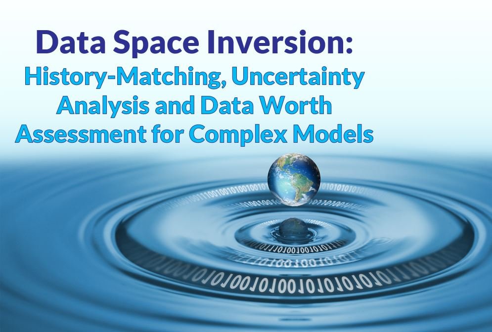
Webinar - Data Space Inversion: History-Matching, Uncertainty Analysis and Data Worth Assessment for Complex Models

CLICK HERE TO REGISTER
Note: all event times are in eastern (EST/EDT)
At Aquanty we take pride in offering the very highest quality of service by staying at the cutting-edge of hydrologic science and promoting the adoption of best-in-class scientific methods. In this webinar we’re excited to introduce the powerful Data Space Inversion (DSI) technique to the HydroGeoSphere user community and the wider Aquanty network.
Join us in welcoming Dr. John Doherty who will introduce the key concepts and theory behind DSI, and our good friend and long-time HGS user Dr. Hugo Delottier who will present an example application of the DSI technique applied to a complex HydroGeoSphere model.
Part 1: Data Space Inversion: History-Matching, Uncertainty Analysis and Data Worth Assessment for Complex Models
Abstract:
Data space inversion (DSI) has been around for a while but has been largely ignored, except by some in the petroleum industry. It is simple to understand and easy to implement. Nevertheless, it is extremely powerful.
Suppose that you have built a complex groundwater model with a lengthy run time. Presumably, you have done this because you are pursuing integrity of representation of processes that affect groundwater in your study area. The same ideal should impel you to seek integrity of representation of the properties that affect these processes. However these properties are heterogeneous, and often highly uncertain. They must therefore be represented stochastically. Stochastic representation of subsurface hydraulic and other properties supports quantification of the uncertainties of predictions of management interest - an essential pre-requisite for informed decision-making. However reduction of these uncertainties through history-matching faces severe practical difficulties when using a complex model.
In many circumstances, these difficulties can be overcome relatively easily using DSI. DSI allows you to capitalize on your modelling investment. In particular, from a machine-learning perspective, it allows you to reap the benefits of the exceptionally good receptacles that your model provides for information that is resident in measurements of historical system behaviour - for example, heads, fluxes and contaminant/tracer concentrations.
DSI uses your model to develop stochastic linkages between the measured past and the managed future. This statistical model can then be conditioned on real-world measurements of historical system behaviour to yield maximum-likelihood predictions of future system behaviour. Posterior (i.e. post-data-assimilation) uncertainties can then be ascribed to these predictions. All of this can be achieved at a fraction of the normal cost of history-matching – perhaps with as few as 300 model runs. This fast-running surrogate model can be turned to other useful tasks. For example, you can use it to assess the efficacy of different proposed data-acquisition strategies in reducing the uncertainties of predictions that you care about. Investments in data can therefore be optimized.
In short, at next to no numerical or financial cost, DSI allows you to add a large amount of value to your existing modelling work. DSI is supported by both the PEST and PEST++ suites.
Part 2: Data space inversion for efficient uncertainty quantification with integrated surface and subsurface hydrologic models
Abstract:
Hydrological models are generally built to provide decision-makers with useful predictions of future system behaviour. This allows them to better rationalise water use. The development of such models usually requires acceptable replication of historical system behaviour. It also requires quantification of the uncertainties of predictions of management interest. This is traditionally done by adjusting model parameters to fit historical observations of system states and may require a large number of model runs. Data Space Inversion (DSI) provides an alternative (and highly model-run-efficient) method for quantifying the uncertainties of model predictions by developing statistical relationships between simulated past and future system behaviour. DSI therefore eliminates the need for parameter adjustment. This is of great utility because it dramatically facilitates the quantification of prediction uncertainty for decision-support models with long run times and/or complex parameterisation schemes. DSI is used in conjunction with a complex hydrological model representing a synthetic but realistic alluvial phreatic aquifer to predict fast surface water travel times to water production wells as well as surface water infiltration. The performance of DSI for uncertainty quantification is validated against more traditional approaches that require adjustment of a large number of parameters. Efficient uncertainty quantification can be achieved with a significant reduction in computational time (about two orders of magnitude), demonstrating the benefits of using DSI in conjunction with complex hydrological models.
About the presenters:

Dr. John Doherty is the author of PEST and its associated utility software. John has worked in the water industry for over 40 years – in government, industry and academia. He was the 2019 Darcy lecturer. John presently devotes much of his time to software development and decision-support modelling research and education through the industry-funded GMDSI initiative.

Dr. Hugo Delottier is groundwater hydrologist focused on modeling flow and transport processes in heterogeneous porous and fractured media. Hugo obtained a PhD in hydrogeology from Université de Bordeaux in France under the supervision of Prof. Alexandre Pryet, with research focused on model predictive uncertainty quantification and groundwater recharge processes. Hugo has been involved in a major regional integrated surface and subsurface modeling project in the southern Québec region together with Prof. René Therrien (original creator of HydroGeoSphere). The main purpose was to investigate the potential effects of climate changes on regional groundwater resources. Today Hugo works with Prof. Philip Brunner as a Postdoctoral Researcher at the Centre for Hydrogeology and Geothermics (CHYN) at University of Neuchâtel, Switzerland, studying the explicit simulation of environmental tracers through the use of advanced numerical modeling methods to better inform complex alluvial geology.
CLICK HERE TO REGISTER

Lateral and vertical saltwater intrusion into a coastal aquifer: Impacts of sea-level rise, storm surges, coastal flooding, and tides

Note: all event times are in eastern (EST/EDT)
CLICK HERE TO REGISTER
We were excited to meet HydroGeoSphere users at this summer’s CWRA conference in Halifax, NS! Join us and welcome HGS user Nicole Leroux, MASc, EIT as she delivers her CWRA presentation to the wider HGS user community!
Nicole graduated from Dalhousie University in 2020 with a Bachelor’s degree in Civil Engineering and in 2023 with a master’s degree. Nicole is currently working as a research associate in the Dalhousie Coastal Hydrology Lab where she assists with lab oversight, field campaigns, and numerical modeling across several ongoing projects.
This webinar will be of special interest to those researching the impacts of climate change of the dynamic hydrology of coastal regions, and users who rely HydroGeoSphere’s density dependent flow capabilities for saltwater intrusion.
Aquanty has always believed in fostering a healthy user community, and sharing knowledge and best-in-class software tools to enhance hydrologic modelling capacity across the board. Are you interested in sharing your own research with the Aquanty network?
Lateral and vertical saltwater intrusion into a coastal aquifer: Impacts of sea-level rise, storm surges, coastal flooding, and tides
Nicole Leroux, MASc, EIT
Climate change is projected to substantially increase the global mean sea level, which will adversely impact coastal communities worldwide. Dykes have been used for hundreds of years to reduce the influence of tidal waters on a variety of land uses behind the dykes. In Atlantic Canada, much of this dyked coast is impacted by mega-tidal conditions, which can have significant impacts on surface and subsurface saltwater intrusion and water flow dynamics along the coast. While the effects of surface flooding typically receive the most attention, coastal aquifers in dykelands are also vulnerable to salinization from higher maximum surface water elevations arising from climate change induced sea-level rise and intensifying storms. Present dyke configurations and designs in many locations worldwide may not be able to withstand these environmental conditions. We have collected geophysical, hydrogeological, and hydrodynamic field data (e.g., tidal signals, wave dynamics, groundwater levels, salinity) from a dyked coastline in Wolfville, Nova Scotia, Canada (Bay of Fundy) to investigate the risk of saltwater intrusion during storm surges. We apply these data to help calibrate and drive a hydrological model (HydroGeoSphere) to investigate the impacts of climate change (sea-level rise), tidal dynamics, and extreme events (storm surges) on coastal overtopping and resultant groundwater/soil salinization. Results suggest sea-level rise will influence the tidally maintained upper saline plume, while surface flooding overtopping the dykes results in salinization of shallow soils immediately behind the dykes. These modeling results provide critical information on prioritizing government investment in dyke enhancement, retreat, or removal, highlighting the importance of considering coastal groundwater resources in these decision frameworks.

Webinar - Model Convergence and Optimizing Runtimes with HydroGeoSphere
CLICK HERE TO REGISTER
Note: all event times are in eastern (EST/EDT)
Join us for a webinar focused on building high-quality HydroGeoSphere models that are more likely to converge on a solution, and optimizing those models and numerical criteria to reduce model runtimes. We’ll review a number of different numerical concepts with a focus on practical guidance on how to approach convergence optimization.
In this webinar Dr. Killian Miller and Dr. Hyoun-Tae Hwang will introduce key topics and considerations that should form the basis for all climate change impact analyses using HydroGeoSphere. Topics of discussion will include:
Review of solver methods and options
Finite difference vs finite element
Control volume vs standard finite difference
Level of fill, drop tolerance preconditioning/threshold, etc.
Solver acceleration techniques
Upstream weighting factor, central weighting
Underrelaxation factor
Dual node vs common node formulation
Review of solver output, i.e. understanding phgs.exe runtime output
Simulation progress output
Summary of nonlinear iteration
Adaptive timestepping summary
Recommendations for optimizing convergence of different types of problems
Numerical setting recommendations for different types of problems
How to read runtime output, which variables to monitor, how to respond and improve runtime
Review debug.control and restart functionality
General tips & tricks (i.e. building a high quality mesh, starting with appropriate initial conditions, etc.)
CLICK HERE TO REGISTER
Interested in learning more about the control volume finite element method at the heart of HydroGeoSphere, and some of the benefits it provides (e.g. mass conservative, physically correct flow directions, monotonicity/no oscillations, etc.)? Watch our Numerical Methods and Parallel Processing webinar:
Webinar - Climate Change Impact Analysis using HydroGeoSphere
CLICK HERE TO REGISTER
Note: all event times are in eastern (EST/EDT)
Join us for a webinar focused on climate change impact analysis using HydroGeoSphere. As the relevant components of the global climate (e.g. temperature and precipitation patterns/intensity) drift further from historically reliable patterns, it becomes harder and harder to rely on these historical patterns as part of hydrologic studies. This is why HydroGeoSphere is an incredibly powerful tool for long-term climate change impact analyses of hydrologic systems.
As a physics-based simulation platform with a de-emphasis on the use of empirical relationships, HydroGeoSphere is an exceptionally powerful tool for modelling ‘unknowns’. These unknowns include regions with little to no observation data, but more importantly this physics-based approach is the most realistic and reliable way to simulate how water resources systems will react to future climatic conditions.
In this webinar Aquanty’s resident climate scientist Dr. Andre Erler will introduce key topics and considerations that should form the basis for all climate change impact analyses using HydroGeoSphere. Topics of discussion will include:
Introduction to climate modelling: International Panel on Climate Change (IPCC), Global Climate Models (GCMs), Regional Climate Models (RCMs)
Applying climate model output to HGS: bias-correction, data pre-processing, boundary condition conceptualization
Study design: scenario analysis, producing climate ensembles, addressing the signal-to-noise paradox in long-term climate predictions
Case study review: investigating climate change Impacts on surface water and groundwater interactions in the Grand River Watershed
Concluding remarks: summary and overview of the Canada1Water project - a blueprint for high-resolution climate change impact analysis across Canada
CLICK HERE TO REGISTER
Eager to learn more about HydroGeoSphere’s potential as a climate change impact analysis tool? Watch a webinar on our climate change impact analysis of the Athabasca River Basin!
Thermal Energy Transport and Saltwater Intrusion Modelling with HydroGeoSphere - Selected Presentations from MODFLOW & More 2022
Note: all event times are in eastern (EST/EDT)
CLICK HERE TO REGISTER
We were thrilled to see HydroGeoSphere so well represented at this years MODFLOW and More conference, so we’ve invited some of the users to deliver their presentations to the rest of the Aquanty network. This webinar will be of special interest to users interested in matrix diffusion in discrete fracture networks, saltwater intrusion, and the thermal energy transport capabilities offered by HydroGeoSphere.
Join Aquanty in welcoming HGS users Dr. Anner Paldor, Ryan Fredericks, Holly Michael and Katie Fogg and enjoy the following presentations.
Modeled salinities in coastal aquifers depend on high- and low-frequency fluctuations in sea level, controlled by storage properties.
Anner Paldor [1*], Ryan S. Frederiks [1], Holly A. Michael [1,2]
1 Department of Earth Sciences, University of Delaware, Newark, DE, USA.
2 Department of Civil and Environmental Engineering, University of Delaware, Newark, DE, USA.
* Correspondence: annerpal@udel.edu
Modeling groundwater flow and salt transport is a crucial part in the management of coastal aquifers, which supply freshwater to nearly half of the world population. Models aimed to estimate present-day average salinities typically assume steady sea level, thus neglecting the effect of cyclical forcings on the average salinity distributions. This study uses numerical modeling to assess the validity of this assumption. The modeled processes include multi-scale fluctuations in sea level on timescales from tides to glacial cycles. Results indicate that average salinities under high-frequency fluctuations in sea level differ from the steady state distribution produced by average sea level. Low-frequency forcing generates discrepancies between present-day salinities modeled with and without considering the cyclical forcing. These results imply that the estimated salinities in coastal aquifers may be erroneously simulated when assuming steady-state conditions, since present distributions are likely part of a dynamic steady state that includes forcing on multiple timescales. This has important implications for calibration of hydrogeological models of coastal aquifers and for managing vulnerable coastal groundwater resources.
Vulnerability to Sea-Level Rise and Storm-Surge Salinization Differs for Topography-limited and Recharge-limited Systems: Insights from Groundwater Flow and Transport Modeling at Assateague Island, MD
Ryan S. Frederiks [1*], Anner Paldor [1] , Holly A. Michael [1,2]
1 Dept. of Earth Sciences, University of Delaware, Newark, DE, USA.
2 Dept. of Civil and Environmental Engineering, University of Delaware, Newark, DE, USA.
* Correspondence: rsfreder@udel.edu
Coastal groundwater is susceptible to salinization due to climate change impacts on both sea-level rise and storm surge frequency/intensity. While topography-limited systems, i.e. regions with water tables close to the land surface, are expected to be the most vulnerable to sea-level rise, recharge-limited systems are expected to buffer the effects of climate change as water tables can rise and prevent the freshwater-saltwater interface from intruding inland. However, the susceptibility of these systems to storm-surge overwash has not been investigated. In this study, we collected hydraulic head and specific conductance data and calibrated a 2D groundwater flow and transport model for an overwash scar on Assateague Island, MD. Using the calibrated model, we investigated the long-term vulnerability to sea-level rise and increased storm surge frequency/intensity. We find that all systems are more vulnerable to changes in storm surge frequency than to sea-level rise. High hydraulic conductivity and low elevation topography-limited systems are almost as vulnerable to sea-level rise as to storm surge overwash. On the other hand, recharge-limited systems are substantially more susceptible to storm-surge overwash and show a consistent trend towards salinization over the long term. These results imply that mitigation of saltwater intrusion should consider both sea-level rise and the intensification of storm surges, as well as the interplay between these processes. This has implications for management of coastal groundwater resources and for mitigating the impacts of future changes.
Impact of ocean surge profiles on overwash-driven salinization in coastal aquifers
Rachel Housego [1*], Fengyan Shi [2], Anner Paldor [1], Ryan Fredericks {1], Holly A. Michael [1,2]
1 Dept. of Earth Sciences, University of Delaware, Newark, DE, USA.
2 Dept. of Civil and Environmental Engineering, University of Delaware, Newark, DE, USA.
* Correspondence: rhousego@udel.edu
As a result of rising sea level and intensifying storm conditions, coastal communities around the world face an increasing risk from surge-driven inundation. During storm surges, inland propagation of ocean water drives infiltration of high salinity seawater into the fresh groundwater, jeopardizing coastal water resources. Prior studies of surge-driven salinization have typically treated storm surge as normally distributed in time, but in natural systems these profiles can have significant variability in shape and duration which will impact the infiltration of seawater. To understand the impact of the surge profile on groundwater salinization, we simulated 2DV groundwater flow and salt transport during overwash events using a coupled surface-subsurface numerical model (HydroGeoSphere). In these simulations, we varied the shape of the surge profile (timing of water level rise and retreat, and duration) and simulated the recovery of the aquifer for one year after the storm. For each surge case, we examined the influence of the surge profile on groundwater flow paths, extent of saltwater infiltration and recovery time.
In addition to variations in surge profile shape, there can also be large spatial variations in storm surge magnitude along coasts, resulting from differences in bathymetry, coastline shape, and the path and characteristics of the storm. We used the surge generated for the Delaware Inland Bays during Hurricane Sandy with NearCOM-TVD, a surface water hydrodynamic model, as boundary conditions for 2DV HydroGeoSphere simulations. These simulations were applied to assess how the regional surge variations affected the salinization risk. The goal of both sets of simulations is to identify the surge conditions that present the greatest salinization risk for coastal communities.
Effects of floodplain shading on hyporheic aquifer temperatures: Implications for restoration
Katie Fogg [1*], Geoff Poole [1,2], Scott O’Daniel [3], Byron Amerson [1]
1 Dept. of Land Resources and Environmental Studies, Montana State University, Bozeman, MT, USA.
2 Montana Institute on Ecosystems, Montana State University, Bozeman, MT, USA.
3 Confederated Tribes of the Umatilla Indian Reservation, Pendleton, OR, USA.
* Correspondence: sarah.fogg@montana.edu
In alluvial rivers, the continuous, bidirectional exchange of stream water with underlying sediments (i.e. hyporheic exchange) decreases the amplitude of daily and seasonal stream channel temperature oscillations. However, the hyporheic zones of floodplain streams are often wide and shallow, which facilitates heat exchange between the hyporheic zone and atmosphere via floodplain sediments. Riparian forests have the potential to mediate atmosphere-aquifer heat exchange by shading the floodplain surface, thereby influencing stream channel temperatures indirectly via hyporheic exchange of water and heat. Commonly, restoration activities reduce floodplain shade during channel construction, which could lead to unintentional warming of hyporheic and channel temperatures. We investigated the interactions between riparian forest density, the spatial pattern of floodplain shade and hyporheic flow paths using a case study of the semi-arid Meacham Creek floodplain (Oregon, USA). We used HydroGeoSphere, a coupled groundwater-surface water modeling software, to simulate water and heat transport in a 3-dimensional finite element model of the Meacham Creek floodplain under variable riparian forest densities. Model results showed floodplain shade mediated the warming of hyporheic and channel water. Therefore, in alluvial rivers where hyporheic zones extend beyond the channel margins, consideration of floodplain shade management, both during and after restoration actions, may improve outcomes for restoration of stream channel temperatures.

Webinar - HydroGeoSphere: Numerical Methods and Parallel Processing

CLICK HERE TO REGISTER
Note: all event times are in eastern (EST/EDT)
Join Dr. Peter Forsyth and Dr. Hyoun-Tae Hwang as they review the numerical principles/methodologies that drive HydroGeoSphere simulations during this 30-60 minute presentation.
Dr. Forsyth will provide a general review of the control-volume finite element method and associated concepts, including monotonicity, mass conservation, and the sparse matrix solver embedded in HGS. This solver is based on a PCG-like method which uses an incomplete LU factorization preconditioner. Level or drop tolerance preconditioning can be specified.
Dr. Hwang will review the flexible parallel computing capabilities provided by HydroGeoSphere using the OpenMP framework. Fully-integrated hydrologic simulations, such as those performed with HGS, involve highly nonlinear processes, and thus the computational efficiency of the model becomes a critical issue for those performing hydrologic simulations. As such, Aquanty is constantly looking for ways to increase the computational efficiency of HGS, and parallelization is one part of that effort. The HGS parallelization framework allows the same code to be executed on various shared memory platforms with minimal maintenance and provides a flexible methodology for the efficient construction of the coefficient and Jacobian matrices.
HydroGeoSphere (HGS) is a three-dimensional control-volume finite element simulator which is designed to simulate the entire terrestrial portion of the hydrologic cycle. It uses a globally-implicit approach to simultaneously solve the 2D diffusive-wave equation and the 3D form of Richards’ equation. HGS also dynamically integrates key components of the hydrologic cycle such as evaporation from bare soil and water bodies, vegetation-dependent transpiration with root uptake, snowmelt and soil freeze/thaw.
CLICK HERE TO REGISTER
Webinar - Introduction to Integrated Hydrologic Modelling with HydroGeoSphere with Ed Sudicky
CLICK HERE TO REGISTER
Join Dr. Ed Sudicky for a webinar to introduce the key philosophies and concepts of integrated hydrologic modeling using Aquanty’s flagship modeling platform HydroGeoSphere. As the co-founder of Aquanty, principle developer of HydroGeoSphere and a true leader in the field of integrated hydrological modeling, Dr. Sudicky is perfectly positioned to discuss advances that have been made and future areas for research and development with integrated models representing the hydrological processes.
Abstract:
Providing a scientific basis for water management policy, and assessing the physical characteristics underlying hydrologic risk, typically requires watershed-scale assessments that encompass a few hundred km2 at a minimum. However, as an example, water resources for agriculture or resource development often require an understanding of river basin scale processes, which can cover areas up to or greater than 100,000 km2 . Given the recent increase in losses attributed to large-scale extreme climate related events (i.e. overland pluvial flooding, excess moisture, and drought), and the concern that the frequency of these events will progressively increase in response to climate change, there is growing demand for large-scale hydrologic risk assessments. Because of complex nonlinear interactions between climate, surface water, groundwater and soil moisture across large watersheds, robust physically-based 3D integrated hydrologic models provide a holistic means of performing water-related risk assessment for these types of applications. In this presentation I will discuss the results from a series of studies covering a range of scales whereby fully-integrated surface/subsurface water models have been developed using the HydroGeoSphere platform, including its capability to perform real-time 3D forecasting of the entire hydrosphere as driven by an ensemble of weather forecasts and guided by data assimilation using wireless field instruments. Within the platform, hydrologic responses within sub-basins are nested seamlessly within full-basin scale models in order to capture additional details at an increased resolution. These simulations facilitate large-scale spatially-distributed projections of flood, drought, and other water-related risks relevant to, for example, crop production at unprecedented detail, over temporal intervals ranging from days to decades. The basin response can also be used to gain insight into the potential impact of a changing climate on water resource availability from both water quantity and quality prespectives. Results from this work demonstrate that comprehensive physically-based hydrologic simulation platforms are becoming increasingly relevant and feasible tools for addressing global water related challenges.
HydroGeoSphere (HGS) is a three-dimensional control-volume finite element simulator which is designed to simulate the entire terrestrial portion of the hydrologic cycle. It uses a globally-implicit approach to simultaneously solve the 2D diffusive-wave equation and the 3D form of Richards’ equation. HGS also dynamically integrates key components of the hydrologic cycle such as evaporation from bare soil and water bodies, vegetation-dependent transpiration with root uptake, snowmelt and soil freeze/thaw.
CLICK HERE TO REGISTER
Dr. Sudicky is a full professor in the Department of Earth and Environmental Sciences at the University of Waterloo (on the faculty since 1985), and is a Principal of Aquanty Inc. He received his B.A.Sc. degree in Civil Engineering (1977), and M.Sc. (1979) and Ph.D. (1983) degrees in Earth Sciences, all at the University of Waterloo. He is the recipient of a number of international awards and honors for his research contributions that include the National Ground Water Association Henry Darcy Distinguished Lecturer (1994) and M. King Hubbert Award (2007), The Geological Society of America O.E. Meinzer Award (1999), The American Geophysical Union Hydrology Award (2002). He is a Fellow of the Royal Society of Canada, the Canadian Academy of Engineering, the American Geophysical Union and the Geological Society of America.