

Integrated Hydrologic Modelling for Agriculture & Forestry
Aquanty operates real-time and on-demand hydrologic forecasting platforms to help a wide variety of stakeholders understand and predict current and future water resources. Our user-friendly technology is enhancing landscape management, drought and flood risk assessment, and understanding of climate change impacts on watersheds across economically crucial areas.
From national-scale hydroclimatological analysis to field-scale soil moisture and agri-chemical leaching prediction, the HydroGeoSphere simulation engine and the HydroClimateSight decision support platform are valuable tools for government agencies, agricultural stakeholder, and watershed managers to understand and manage water resources.
Benefits
Optimize water usage to increase operational efficiency
Adapt to climate change
Mitigate flood/drought risk
Build resilient agroecosystems
Evaluate impact of Best Management Practices (BMPS) on water quality
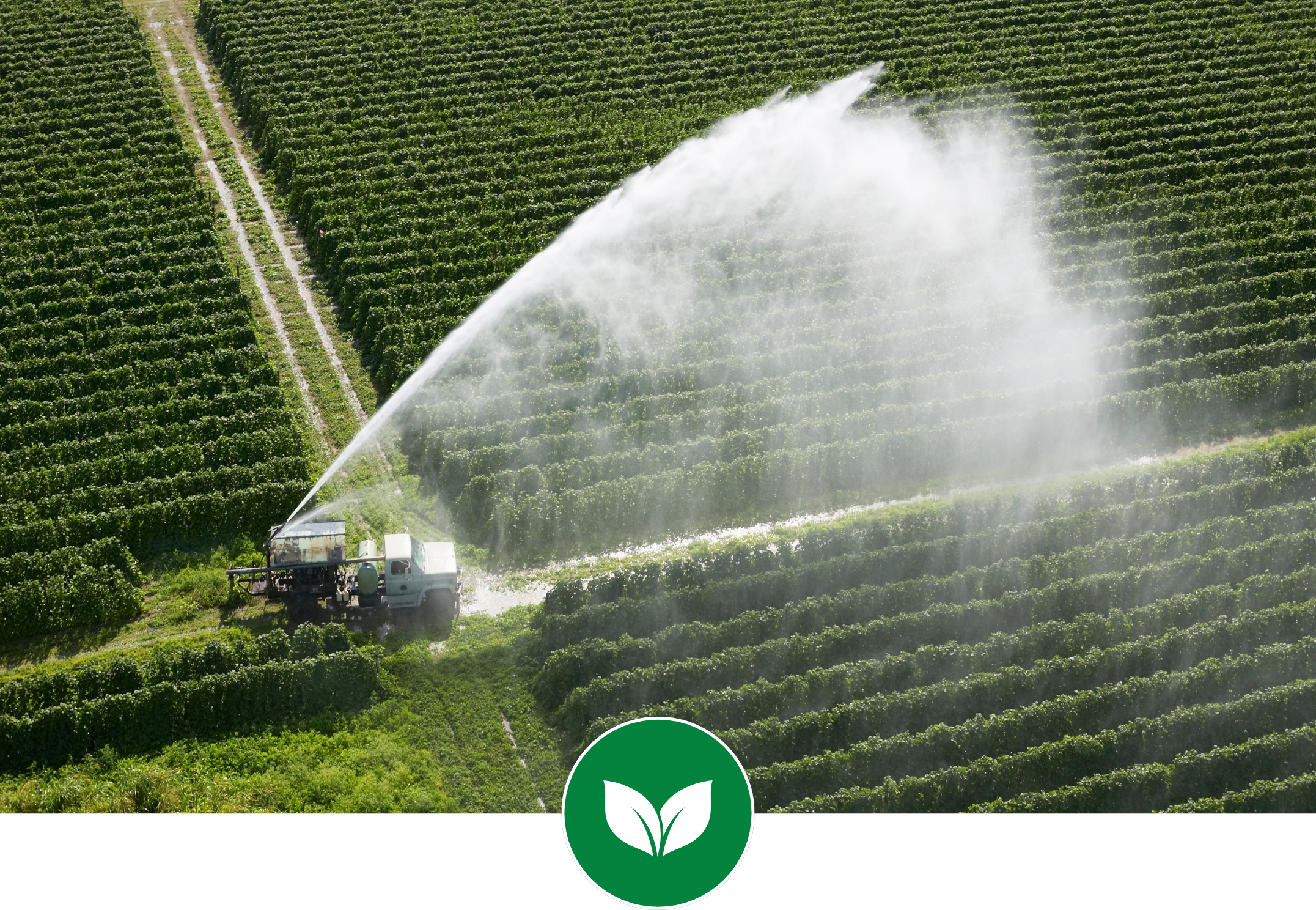
Optimize water usage and save money by forecasting soil moisture and irrigation needs with Aquanty’s user-friendly technology.
Policy and planning support available globally; review watershed hydrology indicators for over 1300 river basins across North America and beyond.

Our patent pending Modelling on Demand technology supports irrigation planning with automated modelling tools based on local soil & crop info.
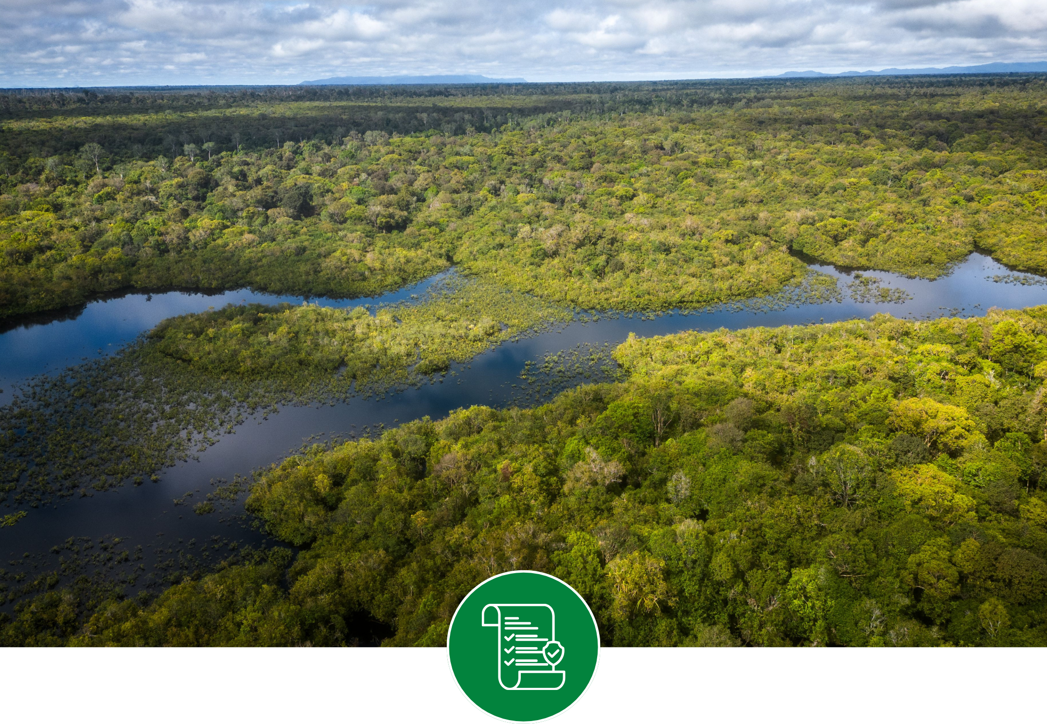
Improved understanding of nutrient and pesticide runoff and transport through all portions of the hydrologic cycle.

Adapt to climate change to mitigate water stress, flood and drought risks, and build resilient agroecosystems.

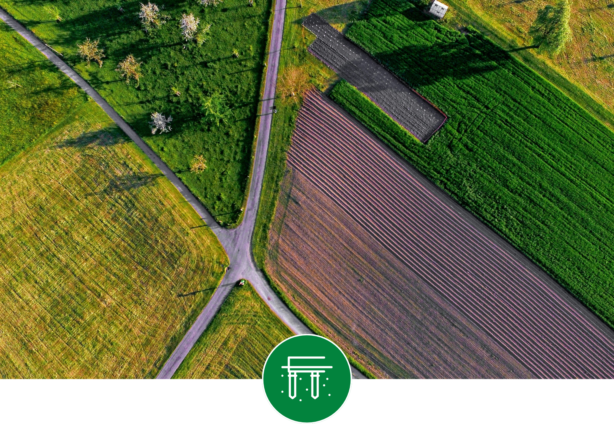
Evaluate the impact of best management practices and land drainage activities on agro-ecosystem health.
Featured Projects
Aquanty helps agricultural stakeholders understand and predict water needs, optimize usage and adapt to climate change. From national-scale analysis to field-specific predictions- our solutions are designed to improve efficiency, mitigate risks and support sustainable practices.

How a High-Tech Water Model is Future-Proofing Manitoba’s Farms, Soils and Grasslands.
“The MFGA Aquanty Forecasting Tool puts water management decision support mechanisms into the hands of farmers and land managers in real time. Water is our most valuable resource and the backbone of agriculture. With the MFGA Aquanty Forecasting Tool we can plan more effectively around our incredibly valuable water resources.”
— Duncan Morrison, Executive Director, MFGA


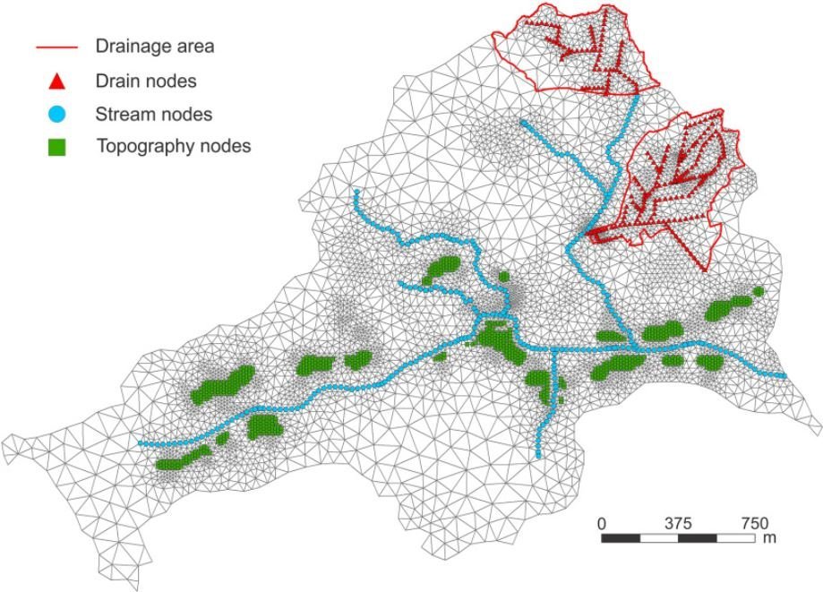
Simulating seasonal variations of tile drainage discharge in an agricultural catchment
A coupled surface-subsurface HydroGeoSphere model was constructed for a small (<10sqkm) agricultural catchment in Denmark in order to evaluate seasonal patterns in tile drainage discharge over a 2-year simulation period to better understand properties/processes dominating runoff from agricultural fields.

Dual permeability modeling of tile drain management influences on hydrology and nutrient transport in macroporous soil
This study demonstrated a dual permeability model was able to reproduce the influence of tile drain management practices on tile discharge, and nutrient transport, following a liquid swine manure application on a macroporous clay loam soil. Additionally, it was found that macropores were responsible for transmitting >95% of the solute load to tile discharge.

Development of a fully integrated hydrological fate and transport model for plant protection products: incorporating groundwater, tile drainage, and runoff
This research investigates how the integrated hydrological modelling of plant protection products (PPPs) such as pesticides can provide a more comprehensive understanding of their environmental behavior across groundwater, surface water, and tile drainage systems.

Real-Time Hydrologic Decision Support for the South Nation Conservation Authority
“HydroGeoSphere is one of our main tools to protecting people and property. It provides a comprehensive view of our watershed status, with real time data, which is critical to forecasting potential flood areas that could result from upcoming weather events.”
— Sandra Mancini, Managing Director, SNCA
-
![A landscape showing a dried, cracked lakebed with a mountain range in the background, overlaid with a warning icon of the Earth with a thermometer indicating high temperatures.]()
Climate Change Impact Analysis
-
![A digital topographic map with green landmasses, blue river channels, and yellow-brown terrain outlines, overlaid with a white gear icon containing a water droplet and a hand.]()
Water Resources Engineering and Consulting
-
![Scenic mountain landscape with snow-capped peaks reflecting in a calm lake, under a clear blue sky.]()
Watershed Management and Decision Support
-
![Open-pit mining quarry with terraced layers of earth and rocks, clear blue sky above.]()
Mine Operations and Closure Planning
-
![Person in a red and black plaid shirt using a tablet in a wheat field, with a white leaf and checkmark eco-friendly logo overlay]()
Agriculture & Forestry
-
![A cooling tower emitting steam at dusk with a large radiation warning symbol overlaid.]()
Nuclear Waste Management
-
![A digital illustration featuring a cloud, a shield with a checkmark, and a network of connections, symbolizing cloud security and protection.]()
Flood and Drought Risk Management, Insurance
-
![An aerial view of a coastal landscape with sandy beaches, grassy patches, and blue ocean waves, with a white overlay icon of a wave inside a circle.]()
Coastal Hydrology, Thermal Energy Transport and Density-Dependent Flow Applications


Connect with Aquanty
Let our experts guide you through our cutting-edge technology and demonstrate how our services can address your specific needs.