

Transforming Water Resources Engineering with Fully Integrated Hydrologic Modelling
Traditional water resources engineering has often relied on compartmentalized models that address specific aspects of the hydrological cycle. However, as we navigate through an era marked by unprecedented environmental challenges and the increasing complexity of water systems, it has become evident that a more comprehensive and integrated strategy is required.
Fortunately, simulation tools like HydroGeoSphere (HGS) have been rapidly improving, and in the evolving landscape of water resources engineering an integrated approach to hydrologic modelling has emerged as the way of the future!
Benefits
Improved understanding of hydrologic systems
Increase operational efficiency
Promote interdisciplinary collaboration
Enhanced decision support
Minimize uncertainty
Expand your service offerings
Provide exceptional client support

Fully-integrated hydrologic modelling offers a wide range of operational benefits for consulting firms: increased operational efficiency & promote interdisciplinary collaboration by removing the need for distinct surface/groundwater teams/models.

Provide enhanced decision support to your clients via HGSRT – our real-time hydrologic forecasting service – and expand your service offerings.

Improved understanding of hydrologic systems by integrating surface water and groundwater into a unified, tightly-coupled model which supports explicit exchange of water between domains.
Use the Hydraulic Mixing Cell functionality to track the origin and fate of any “tagged” water source within the model (easily disaggregate baseflow, overland flow and direct precipitation).

Minimize uncertainty inherent in empirical modelling techniques by relying on HydroGeoSphere’s physics-based approach to hydrologic modelling.
Deliver exceptional client support with sophisticated water balance tracking tools that provide precise reporting of lateral and vertical surface and subsurface water flows across areas of any scale. These advanced capabilities give you localized, detailed model outputs to better inform and support your clients.
Featured Projects
Simulation tools like HydroGeoSphere (HGS) have been rapidly improving, and in the evolving landscape of water resources engineering an integrated approach to hydrologic modelling has emerged as the way of the future!

Modelling the Impact of Climate Change in the Athabasca River Basin
Aquanty partnered with the Canadian Oil Sands Innovation Alliance (COSIA) to model how climate change could impact the hydrology of Alberta’s Athabasca River Basin. Our high-resolution study predicted hotter, wetter conditions by century’s end—suggesting continued water availability to support reclamation efforts, wetlands, and the boreal ecosystem. This kind of modelling helps industry prepare for future climate extremes and ensure sustainable operations.


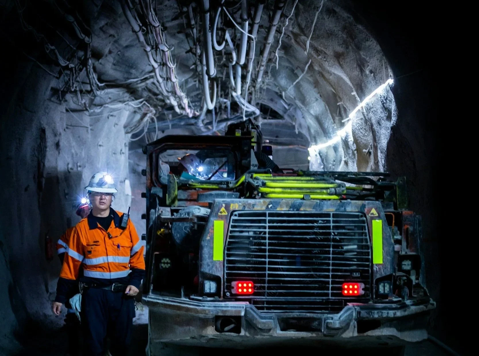
A dynamic meshing scheme for integrated hydrologic modelling to represent evolving landscapes
Aquanty researchers introduced a dynamic meshing scheme to better simulate evolving landscapes in integrated hydrologic models. Implemented within HGS, this novel approach adjusts the model geometry over time— capturing changes like excavation and backfilling in mining operations. A proof-of-concept in Ontario’s Grand River watershed showed that while surface water systems rebound quickly, groundwater systems can experience long-lasting impacts.
Large-scale numerical simulation of groundwater flow and solute transport in discretely-fractured crystalline bedrock
“A large-scale fluid flow and solute transport model was developed [using HydroGeoSphere] for the crystalline bedrock at Olkiluoto Island, Finland, which is considered as potential deep geological repository for spent nuclear fuel.” (Blessent et al., 2011)


Improving precision in regional scale numerical simulations of groundwater flow into underground openings
A new tunnel boundary condition was developed for HydroGeoSphere to simulate changes to the water table from underground operations. Supports advanced tunnel dewatering simulation by incorporating excavation damage and grouted tunnel zones. Account for time-varying hydraulic conductivity, fracture development, and land surface subsistence.

Improving precision in regional scale numerical simulations of groundwater flow into underground openings
This study used HydroGeoSphere to develop a new tunnel boundary condition for simulating groundwater flow into underground openings. By accounting for excavation damage, grouted zones, and heterogeneous rock properties, it captures realistic flow behaviour—enhancing assessments of tunnel inflows and long-term groundwater impacts in support of nuclear waste management and underground infrastructure design.
-
![A landscape showing a dried, cracked lakebed with a mountain range in the background, overlaid with a warning icon of the Earth with a thermometer indicating high temperatures.]()
Climate Change Impact Analysis
-
![A digital topographic map with green landmasses, blue river channels, and yellow-brown terrain outlines, overlaid with a white gear icon containing a water droplet and a hand.]()
Water Resources Engineering and Consulting
-
![Scenic mountain landscape with snow-capped peaks reflecting in a calm lake, under a clear blue sky.]()
Watershed Management and Decision Support
-
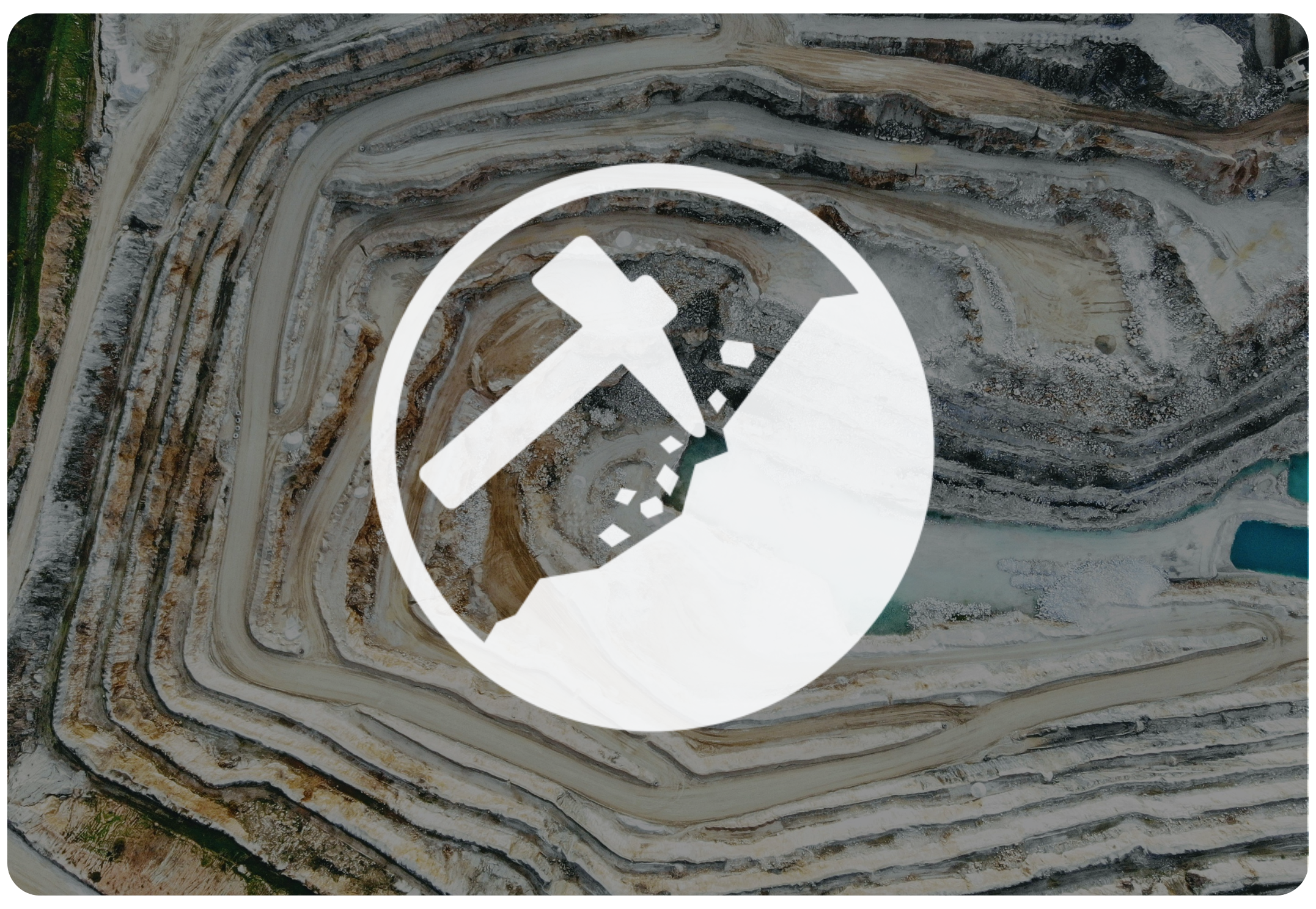
![Open-pit mining quarry with terraced layers of earth and rocks, clear blue sky above.]()
Mine Operations and Closure Planning
-
![Person in a red and black plaid shirt using a tablet in a wheat field, with a white leaf and checkmark eco-friendly logo overlay]()
Agriculture & Forestry
-
![A cooling tower emitting steam at dusk with a large radiation warning symbol overlaid.]()
Nuclear Waste Management
-
![A digital illustration featuring a cloud, a shield with a checkmark, and a network of connections, symbolizing cloud security and protection.]()
Flood and Drought Risk Management, Insurance
-
![An aerial view of a coastal landscape with sandy beaches, grassy patches, and blue ocean waves, with a white overlay icon of a wave inside a circle.]()
Coastal Hydrology, Thermal Energy Transport and Density-Dependent Flow Applications


Connect with Aquanty
Let our experts guide you through our cutting-edge technology and demonstrate how our services can address your specific needs.