

Integrated Hydrologic Simulations to Support Watershed Management
Aquanty’s real-time and on-demand hydrologic forecasting platforms powered by HydroGeoSphere (HGS) provide a wide range of benefits to stakeholders by enhancing their understanding of watershed hydrology and providing predictive analytics for short- and long-term water resources planning. Our user-friendly technology plays a significant role in improving landscape management, evaluating drought and flood risks, and understanding the impacts of climate change across Canada.
HydroClimateSight — our real-time hydrologic forecasting decision support system — provides the basis for addressing water resources challenges at all scales, from field level soil moisture and chemical leaching forecasts to continental hydroclimatological risk analysis.
Benefits
Comprehensive & holistic understanding of watershed hydrology
Improved decision making
Assess and mitigate risk
Long-term planning for climate change
Optimized water resource management
Cost-effective solutions

Aquanty’s fully-integrated hydrologic simulations consider various interconnected components of a watershed including surface water, groundwater, soil moisture, channelized flow, and more. This comprehensive view helps managers achieve a comprehensive & holistic understanding of watershed hydrology.
Long-term planning for climate change: prepare adaptive strategies to mitigate the impacts of changing climatic conditions on water resources and ensure sustainable ecosystem health; anticipate the impact of land use changes and evaluate benefits of best management practices.
Improved decision making through simulating various scenarios and conditions assist watershed managers in making informed decisions related to water allocation, land use planning, flood management, and ecological preservation.

Policy and planning support available across Canada; review watershed hydrology indicators for over 1300 watersheds/catchments covering continental Canada.

Assess and mitigate risk associated with floods, droughts, and water quality degradation enabling you to plan for and develop resilient communities & economies, and optimize water resources management.

Garner cost-effective solutions by simulating different scenarios virtually. HGS simulations and real-time forecasting can help managers identify cost-effective solutions and investments in infrastructure or management practices that yield the best outcomes for the watershed.
Featured Projects
Aquanty’s real-time and on-demand hydrologic forecasting platforms powered by HydroGeoSphere provide a wide range of benefits to stakeholders by enhancing their understanding of watershed hydrology and providing predictive analytics for short- and long-term water resources planning. Our platforms serve as invaluable tools for watershed managers, government bodies, agricultural stakeholders, and others.

Real-time forecasting and scenario analysis to support sustainable watershed management.
South Nation Conservation Authority uses HydroClimateSight for real-time hydrologic forecasting for flood and drought management, planning for low-water response, analyzing climate change scenarios, and assessing the impact of best management practices on water resources sustainability.


Canada1Water: a continental scale analysis of climate change impacts on surface water, groundwater, and seasonal soil moisture conditions.
This analysis considers various emissions scenarios and land management practices across the country, providing decision makers and policy planners the tools to develop effective climate change adaptation strategies.


MFGA Aquanty Project
“The MFGA Aquanty Forecasting Tool puts water management decision support mechanisms into the hands of farmers and land managers in real time so that they can plan accordingly to better manage water resources on a short and long-term basis. Water is our most valuable resource and the backbone of agriculture. With the MFGA Aquanty Forecasting Tool we can plan more effectively around our incredibly valuable water resources.”
– Duncan Morrison, Executive Director, MFGA

-
![A landscape showing a dried, cracked lakebed with a mountain range in the background, overlaid with a warning icon of the Earth with a thermometer indicating high temperatures.]()
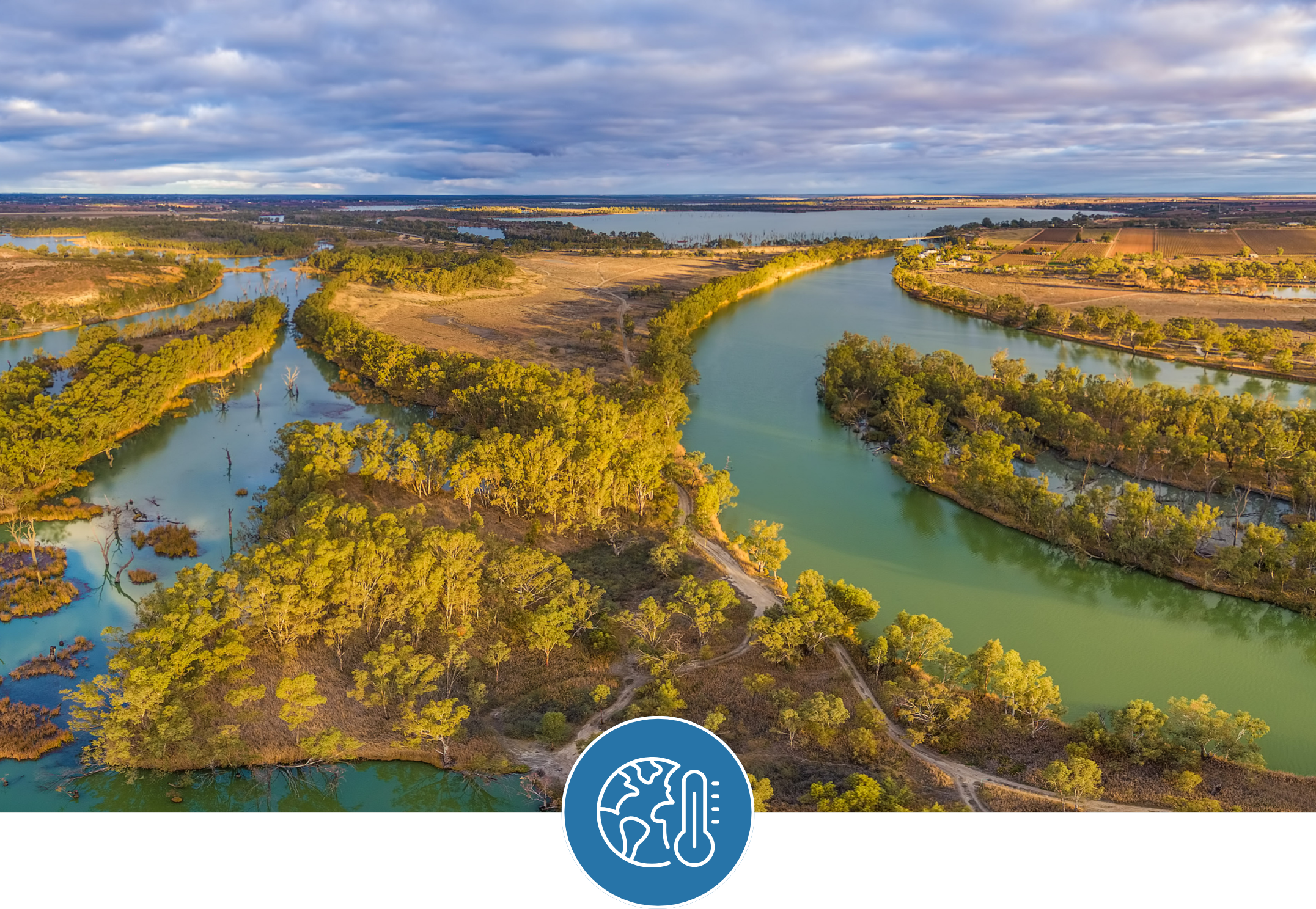
Climate Change Impact Analysis
-
![A digital topographic map with green landmasses, blue river channels, and yellow-brown terrain outlines, overlaid with a white gear icon containing a water droplet and a hand.]()
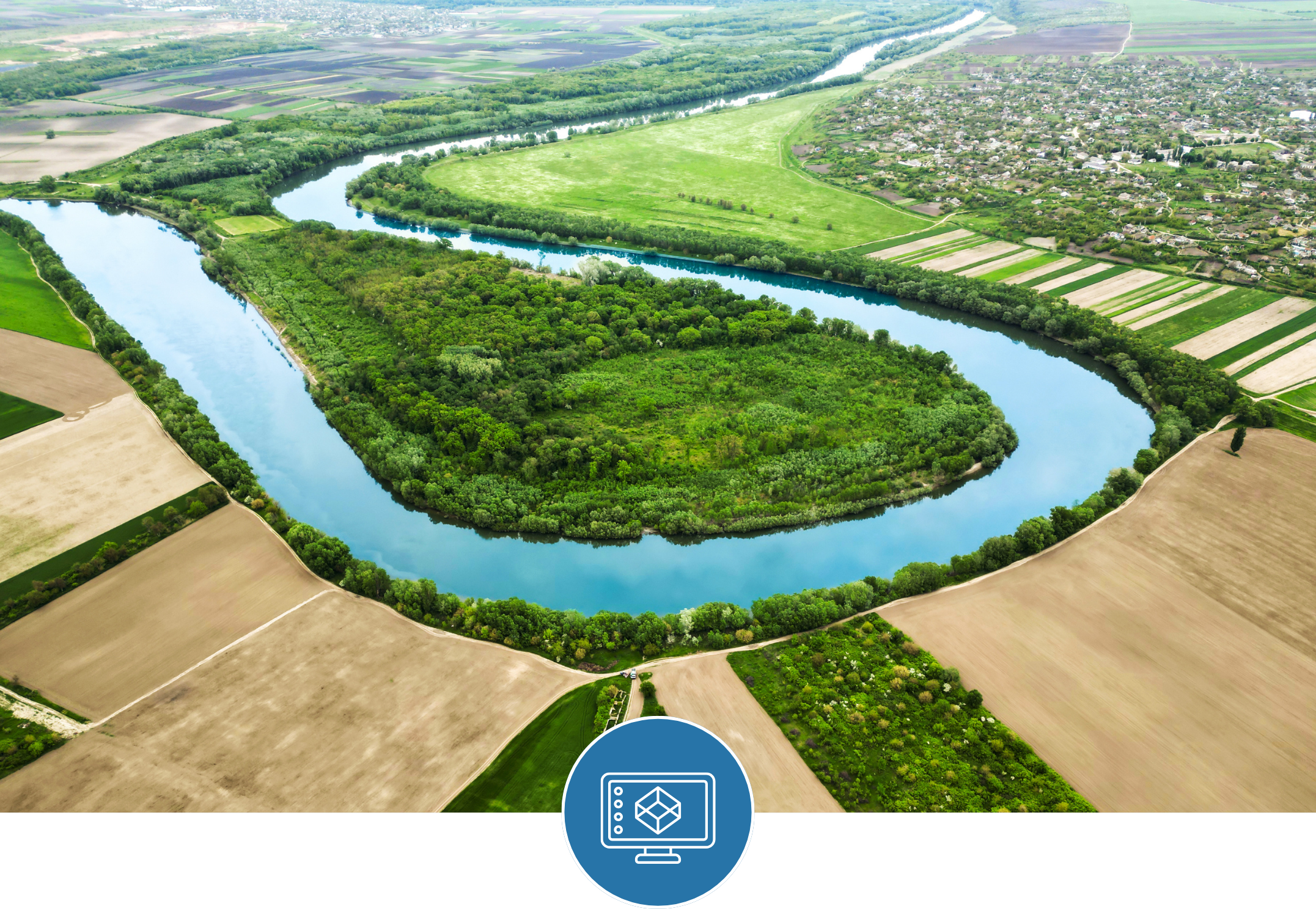
Water Resources Engineering and Consulting
-
![Scenic mountain landscape with snow-capped peaks reflecting in a calm lake, under a clear blue sky.]()
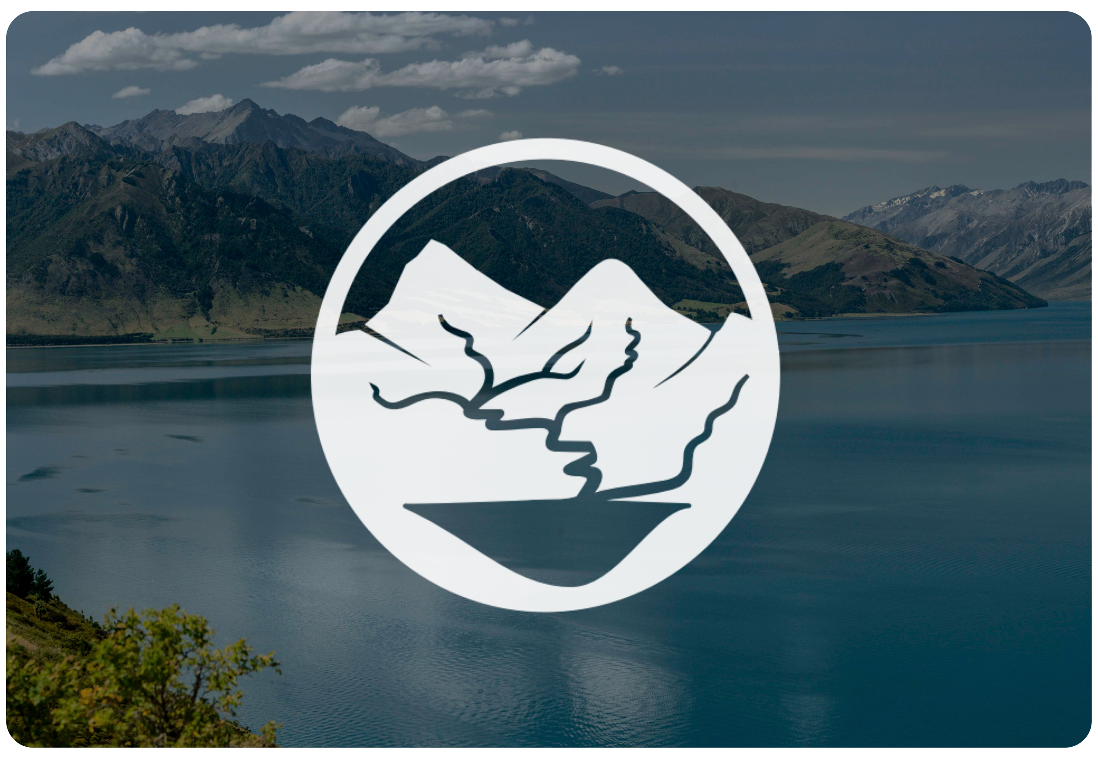
Watershed Management and Decision Support
-
![Open-pit mining quarry with terraced layers of earth and rocks, clear blue sky above.]()
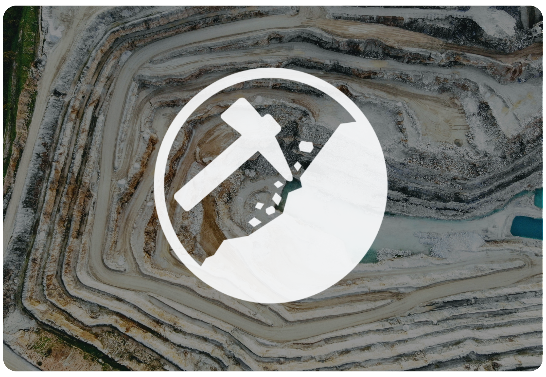
Mine Operations and Closure Planning
-
![Person in a red and black plaid shirt using a tablet in a wheat field, with a white leaf and checkmark eco-friendly logo overlay]()
Agriculture & Forestry
-
![A cooling tower emitting steam at dusk with a large radiation warning symbol overlaid.]()
Nuclear Waste Management
-
![A digital illustration featuring a cloud, a shield with a checkmark, and a network of connections, symbolizing cloud security and protection.]()
Flood and Drought Risk Management, Insurance
-
![An aerial view of a coastal landscape with sandy beaches, grassy patches, and blue ocean waves, with a white overlay icon of a wave inside a circle.]()
Coastal Hydrology, Thermal Energy Transport and Density-Dependent Flow Applications


Connect with Aquanty
Let our experts guide you through our cutting-edge technology and demonstrate how our services can address your specific needs.