
HGS RESEARCH HIGHLIGHT - Simulating Climate Change Impacts on Surface Water Resources within a Lake Affected Region using Regional Climate Projections
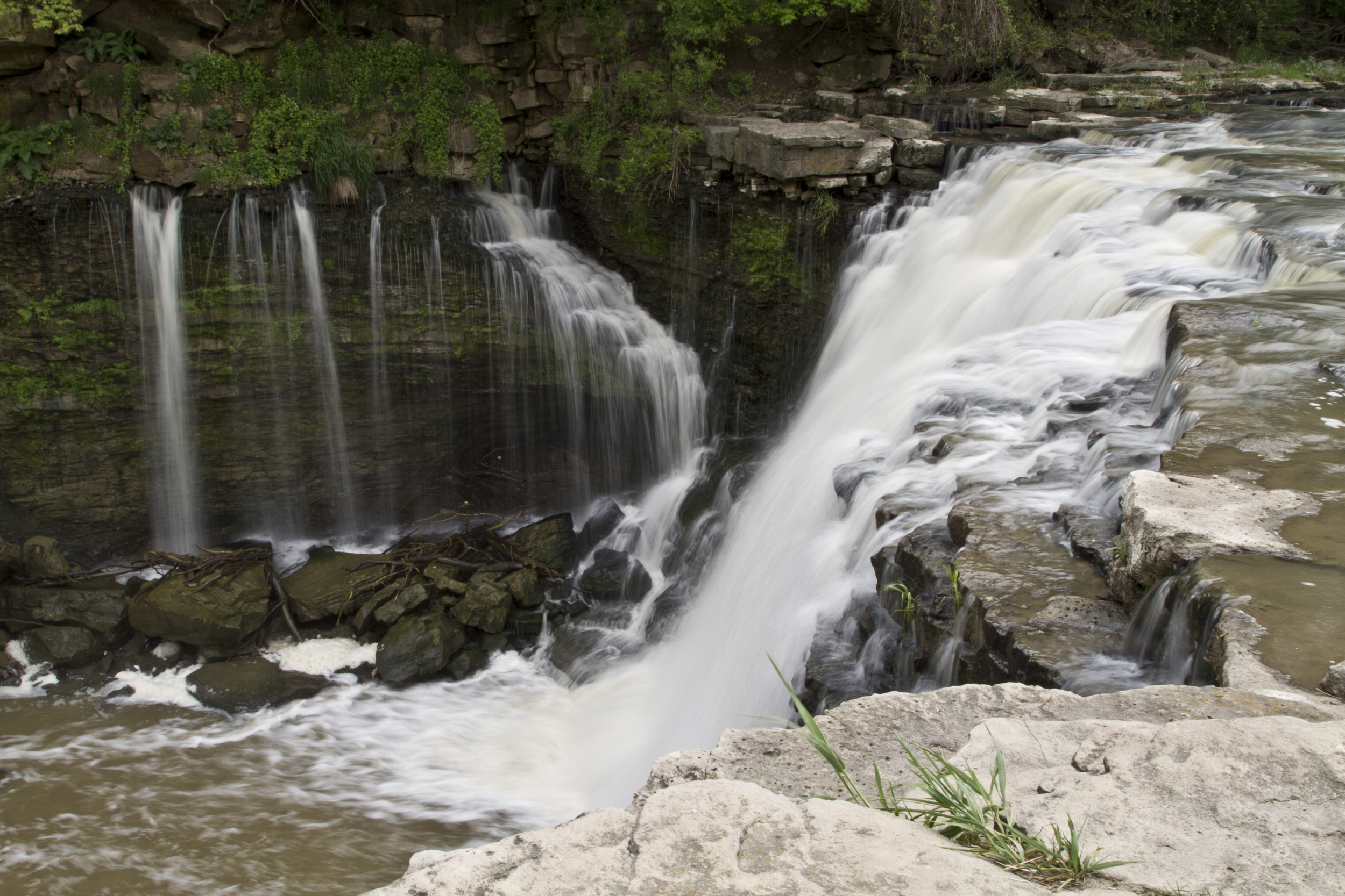
This study aims to assess the impact of climate change on water resources in a large watershed within the Laurentian Great Lakes region, using the fully‐integrated surface‐subsurface model HydroGeoSphere. The hydrologic model is forced with an ensemble of high‐resolution climate projections from the Weather Research and Forecasting model (WRF). The latter has been extended with an interactive lake model (FLake) to capture the effect of the Great Lakes on the regional climate. The WRF ensemble encompasses two different moist physics configurations at resolutions of 90km, 30km, and 10km, as well as four different initial and boundary conditions, so as to control for natural climate variability. The integrated hydrologic model is run with a representative seasonal cycle, which effectively controls natural climate variability, while remaining computationally tractable with a large integrated model.
HGS Research Highlight - A simple iterative method for estimating evapotranspiration with integrated surface/subsurface models
This work presents an iterative, water balance based approach to estimate actual evapotranspiration (ET) with integrated surface/subsurface flow models. Traditionally, groundwater level fluctuation methods have been widely accepted and used for estimating ET and net groundwater recharge; however, in watersheds where interactions between surface and subsurface flow regimes are highly dynamic, the traditional method may be overly simplistic....
HGS Research Highlight - An exploration of coupled surface-subsurface solute transport in a fully integrated catchment model
Coupling surface and subsurface water flow is one of the strengths of fully integrated hydrological codes such as HydroGeoSphere (HGS). Following the coupling of surface-subsurface water flow, is coupling of surface-subsurface solute transport, although this subject has received less attention in the literature. ...
HGS Research Highlight - Schilling et al., 2014
The overarching goal of this study is to provide a quantitative basis for managing water resources in the semi-arid Tarim Basin in Western China. The increased use of surface water in the upstream of the Tarim River has led to the drying up of a stretch of over 300km, with devastating consequences for the riparian Populus Euphratica forests. To save these valuable ecosystems, the Chinese government initiated the “Ecological Water Conveyance Project”. The goal of this initiative is to stop the decline of the downstream ecosystems by periodically reducing the amount of water diverted for irrigation in the upstream. In order to provide quantitative guidance towards sustainable management, this project integrated ecological data with advanced mathematical modelling of surface water, groundwater and vegetation, using HydroGeoSphere (HGS).